Pirep is a free, collaborative database of all public and private airports. All pilots are welcome to contribute their local knowledge to any airport, no registration required.
No upcoming events. Is anything happening here soon?
Last updated: 2024-03-10 22:31:36 CDT
Airport Statistics
- General description
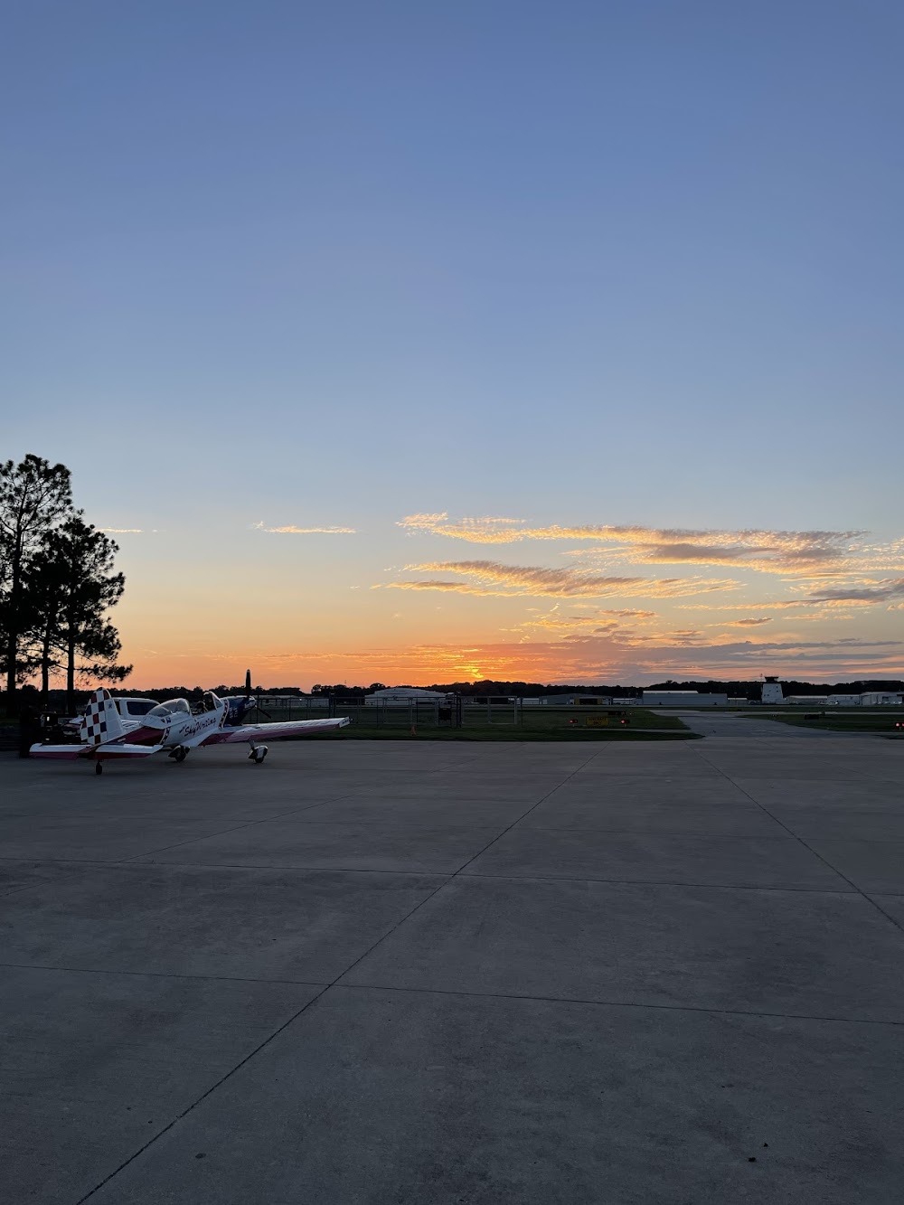
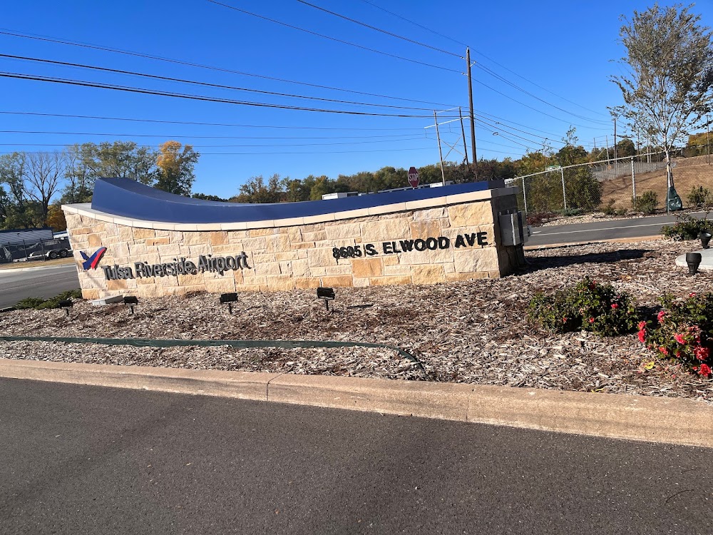
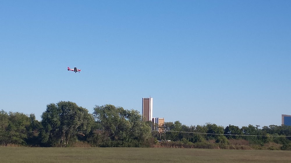
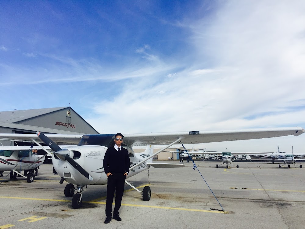
- Airport photos
- Webcam links
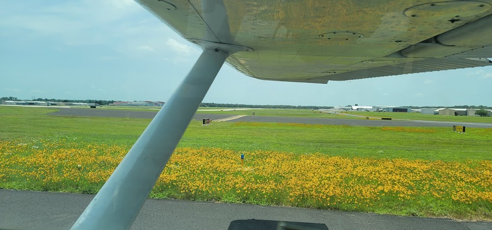
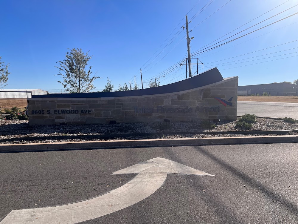
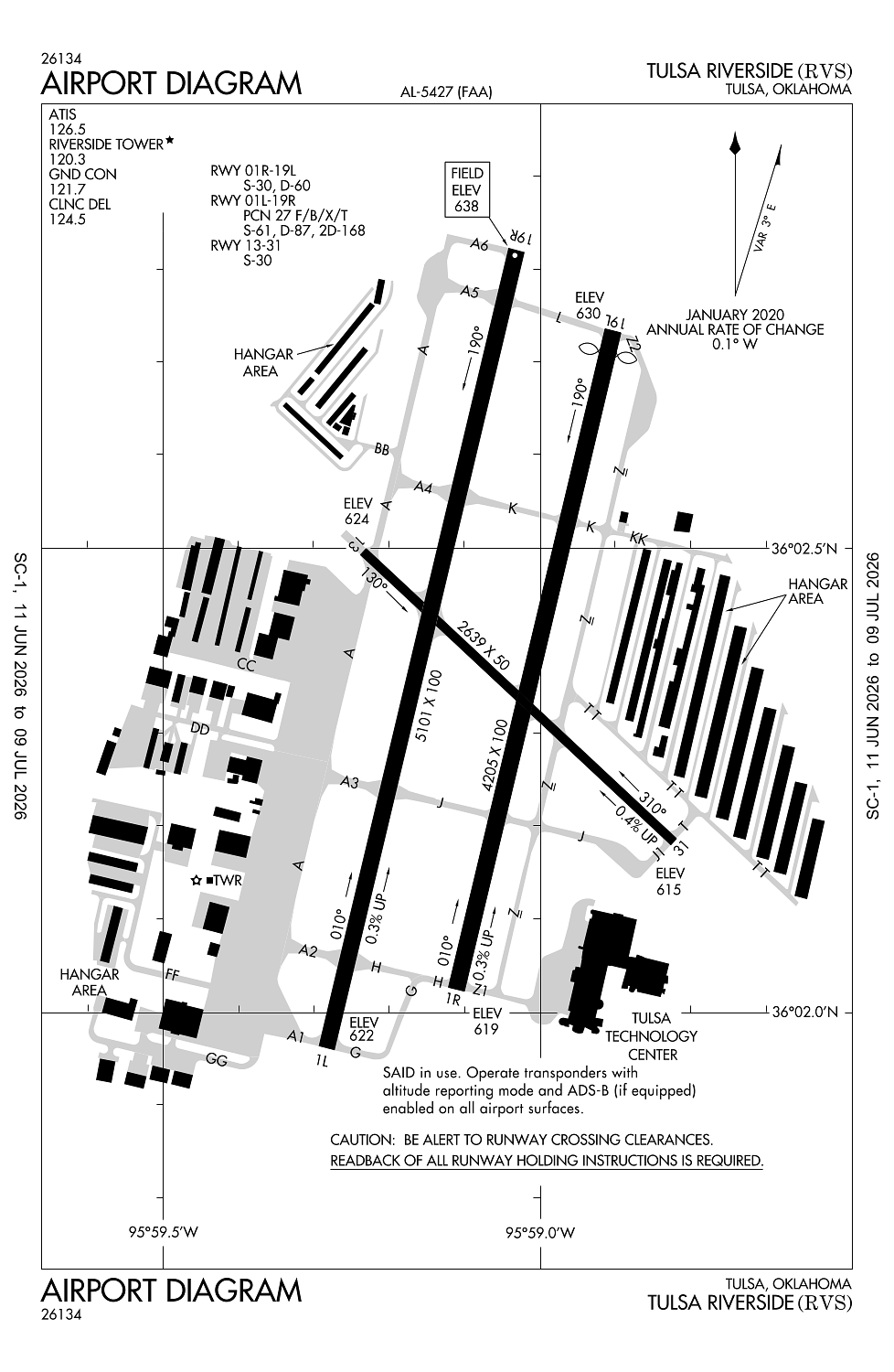
Location:
Tulsa, OK
Elevation:
638ft
Sectional:
Kansas City
Activation date:
Jul 1958
Fuel:
100LL, A, A+ (prices)
Runway 01L/19R:
5,101ft
Runway 01R/19L:
4,205ft
Runway 13/31:
2,639ft
Access: Open to the public
Similar Airports

Current Weather — VFR
-
Weather data is strictly informational and not for flight planning purposes.
-
METAR2026-07-21 05:53:00 CDT
Ceiling: Sky clear Wind: Calm Temperature: 75°F Dewpoint: 73°F Weather: N/A Visbility: 10SM Raw:METAR KRVS 211053Z AUTO 00000KT 10SM CLR 24/23 A2988 RMK AO2 SLP118 T02440233 -
TAF2026-07-21 01:00:00 CDT – 2026-07-21 12:00:00 CDT
Ceiling: Sky clear Wind: 200° @ 3kt Weather: N/A Visbility: 6SM Clouds: @ ft Raw:TAF KRVS 210541Z 2106/2206 20003KT P6SM SKC FM211700 03007KT P6SM FEW060 FM220200 02006KT P6SM SKC -
TAF2026-07-21 12:00:00 CDT – 2026-07-21 21:00:00 CDT
Ceiling: Sky clear Wind: 030° @ 7kt Weather: N/A Visbility: 6SM Clouds: Few @ 6,000ft Raw:TAF KRVS 210541Z 2106/2206 20003KT P6SM SKC FM211700 03007KT P6SM FEW060 FM220200 02006KT P6SM SKC -
TAF2026-07-21 21:00:00 CDT – 2026-07-22 01:00:00 CDT
Ceiling: Sky clear Wind: 020° @ 6kt Weather: N/A Visbility: 6SM Clouds: @ ft Raw:TAF KRVS 210541Z 2106/2206 20003KT P6SM SKC FM211700 03007KT P6SM FEW060 FM220200 02006KT P6SM SKC
Click/tap to add an annotation marker to the map
No webcams added yet.
Remarks
- Ne, nw & sw ramps, ptns of txl cc, dd & gg not vsb fm atct.
- Noise abatement: turns on dep prior to 1500 ft msl na.
- Birds on & invof arpt.
- Txl bb & nw pvt hngr area txl 20 ft wide.
- Ne & nw pvt hngr area wingspan gtr than 49 ft na; txl wt lmt 12500 lb.
Comments