Pirep is a free, collaborative database of all public and private airports. All pilots are welcome to contribute their local knowledge to any airport, no registration required.
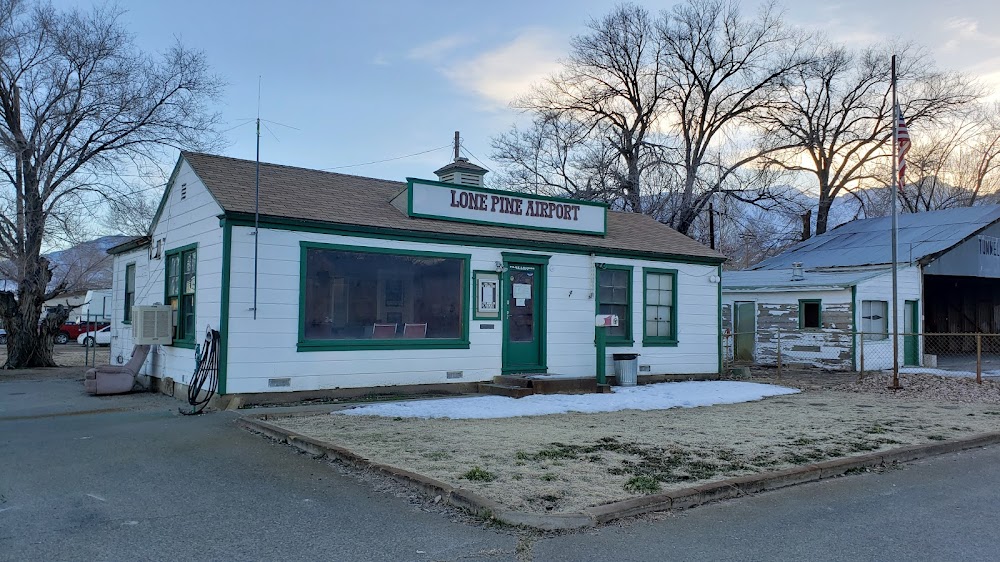
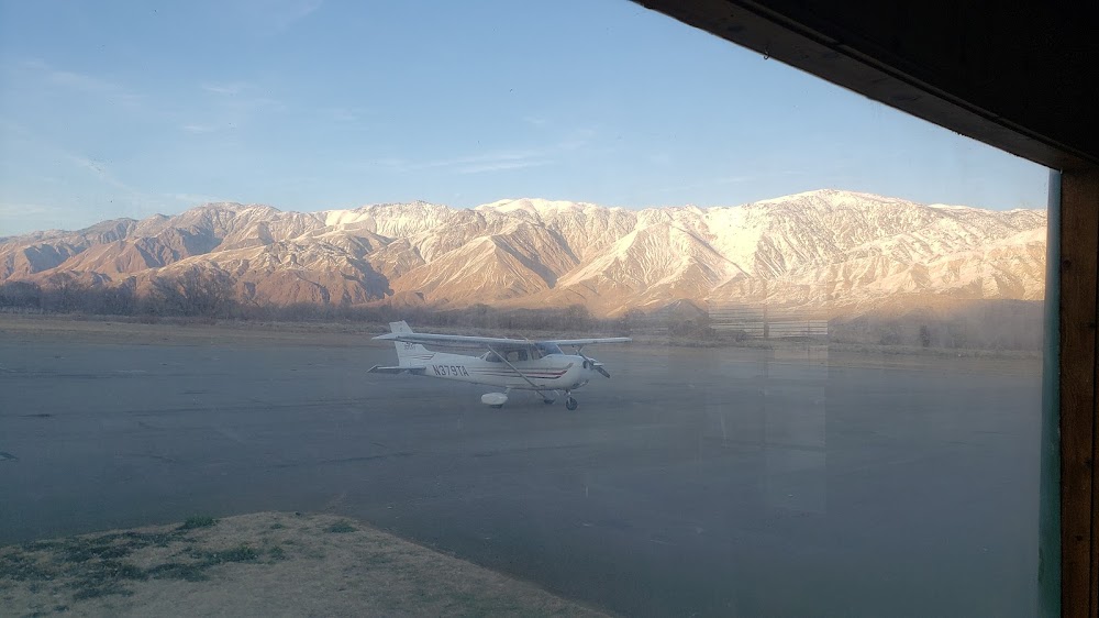
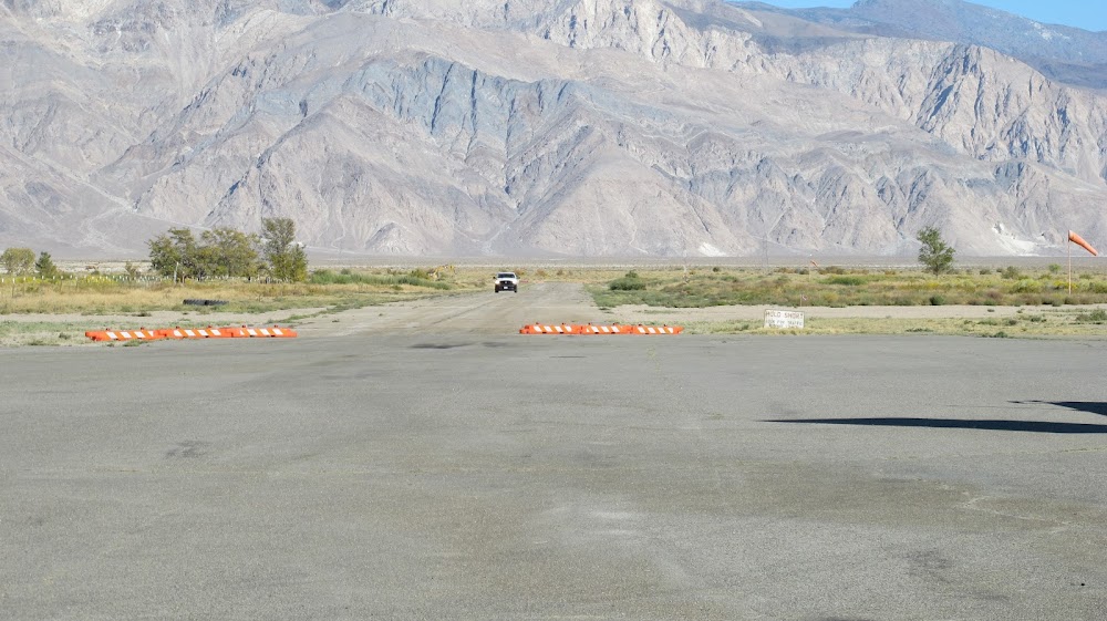


Airport Statistics
- General description
- Airport map annotations
- Landing & tie-down fees
Location:
Lone Pine, CA
Elevation:
3,709ft
Sectional:
San Francisco
Activation date:
Jun 1942
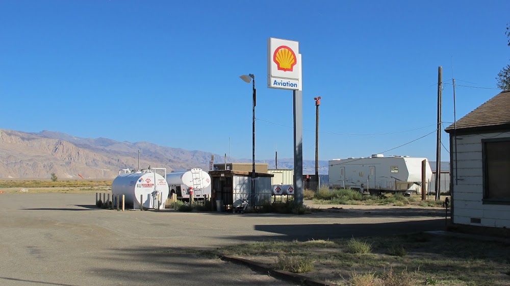
Fuel:
100LL, A
Runway 16/34:
3,991ft
Runway 13/31:
2,391ft
Runway H1:
30ft
Access: Open to the public
Click/tap to add an annotation marker to the map
No webcams added yet.
Remarks
- Estabd prior 5/15/59.
- Arpt bcn ots indefly.
- Actvt bcn - ctaf.
- Hang gldr and skydiving act in vicinty of arpt.
- Ry 13/31 rstd to gliders only except ppr - ctaf.
- Helicopter tfc apch arpt fm east along twy to helipad.
- Pilots be alert to psbl wind shear over trees while on apch ry 16 with se winds 15 kts or gtr.
- Twr lctd 2700 ft nw ry 16 apch end, (136 agl) 3717 msl, unlgtd.
Comments