Pirep is a free, collaborative database of all public and private airports. All pilots are welcome to contribute their local knowledge to any airport, no registration required.
Undocumented
METAR / TAF
Webcam
Edit Tags
No upcoming events. Is anything happening here soon?
Airport Statistics
- Landing & tie-down fees
- Airport map annotations
- Local flying clubs
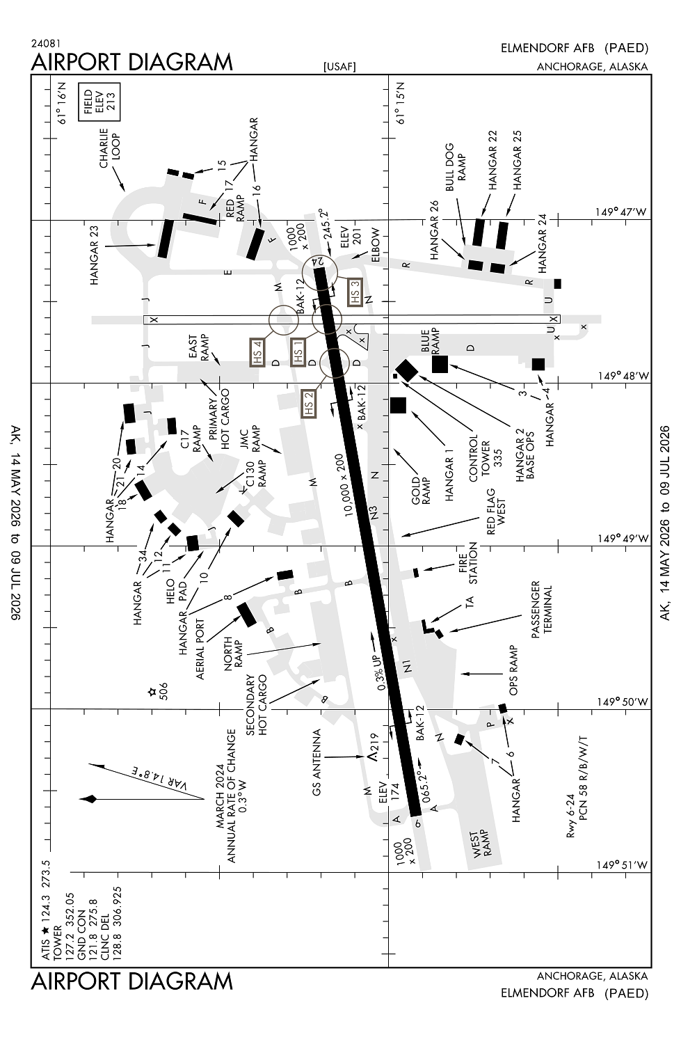
Location:
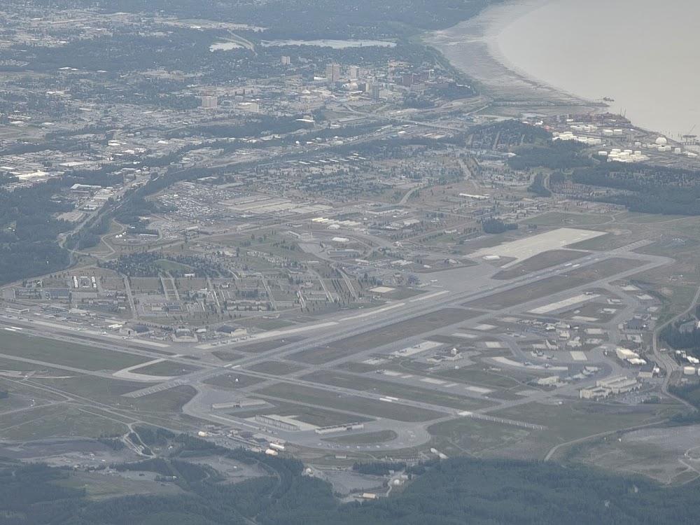
Anchorage, AK
Elevation:
213ft
Sectional:
Anchorage
Activation date:
Mar 1949
Fuel:
J8 (prices)
Runway 06/24:
10,000ft
Runway 16/34:
7,493ft
Access: Private to everyone
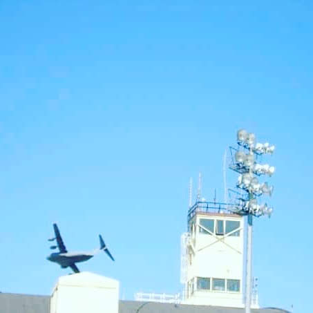
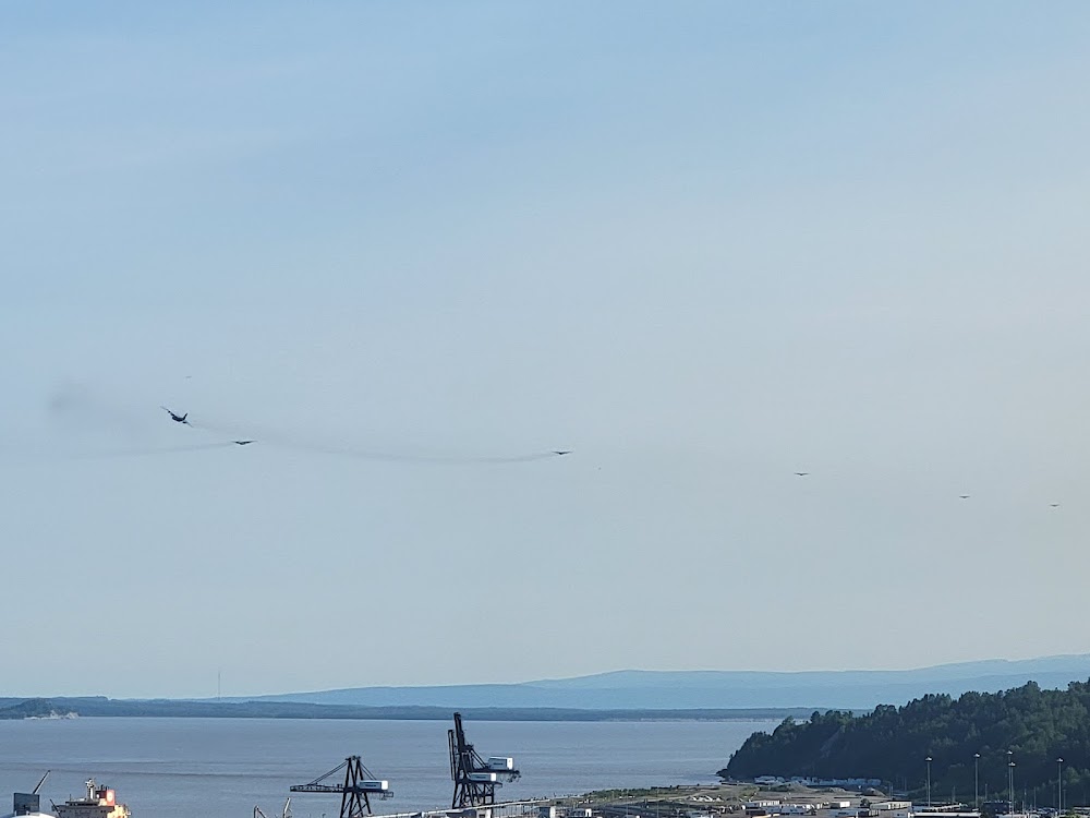
This is a military facility.
Current Weather — VFR
-
Weather data is strictly informational and not for flight planning purposes.
-
METAR2026-07-21 06:55:00 AKDT
Ceiling: 3,500ft Wind: 130° @ 3kt Temperature: 51°F Dewpoint: 48°F Weather: N/A Visbility: 10SM Clouds: Broken @ 3,500ft Raw:METAR PAED 211455Z 13003KT 10SM BKN035 11/09 A3010 RMK AO2A SLP189 T01090093 57008 $ -
TAF2026-07-21 05:00:00 AKDT – 2026-07-21 15:00:00 AKDT
Ceiling: 3,500ft Wind: 210° @ 3kt Weather: N/A Visbility: 6SM Clouds: Broken @ 3,500ft Raw:TAF PAED 211300Z 2113/2219 21003KT 9999 BKN035 QNH3004INS BECMG 2123/2124 21010G20KT 9999 SCT030 BKN050 BKN060 650505 QNH2997INS BECMG 2205/2206 26010G15KT 9000 -SHRA FEW030 BKN045 620703 QNH2991INS TX15/2122Z TN09/2212Z -
TAF2026-07-21 15:00:00 AKDT – 2026-07-21 21:00:00 AKDT
Ceiling: 5,000ft Wind: 210° @ 10kt, gusts 20kt Weather: N/A Visbility: 6SM Clouds: Scattered @ 3,000ft, Broken @ 5,000ft, Broken @ 6,000ft Raw:TAF PAED 211300Z 2113/2219 21003KT 9999 BKN035 QNH3004INS BECMG 2123/2124 21010G20KT 9999 SCT030 BKN050 BKN060 650505 QNH2997INS BECMG 2205/2206 26010G15KT 9000 -SHRA FEW030 BKN045 620703 QNH2991INS TX15/2122Z TN09/2212Z -
TAF2026-07-21 21:00:00 AKDT – 2026-07-22 11:00:00 AKDT
Ceiling: 4,500ft Wind: 260° @ 10kt, gusts 15kt Weather: Light rain showers Visbility: 5SM Clouds: Few @ 3,000ft, Broken @ 4,500ft Raw:TAF PAED 211300Z 2113/2219 21003KT 9999 BKN035 QNH3004INS BECMG 2123/2124 21010G20KT 9999 SCT030 BKN050 BKN060 650505 QNH2997INS BECMG 2205/2206 26010G15KT 9000 -SHRA FEW030 BKN045 620703 QNH2991INS TX15/2122Z TN09/2212Z
Click/tap to add an annotation marker to the map
Remarks
- This airport has been surveyed by the national geodetic survey.
- Arff faa index d/ cat 8/10.
- Lndg rwy 16 not rcmnd for jet acft excpt durg day vfr due obstrn 337 ft msl lctd 1950 ft fm thr & 574 ft w of cngrln.
- Hgr space & warm storage lmtd oct-may.
- Preventive maint: tacan wed & fri 1600-1700z; ils tue & thu 1500-1700z; par sat-sun 1800-2000z; asr sat-sun 2000-2200.
Comments