Pirep is a free, collaborative database of all public and private airports. All pilots are welcome to contribute their local knowledge to any airport, no registration required.

No upcoming events. Is anything happening here soon?
Last updated: 2023-12-29 01:53:03 PST
Airport Statistics
- WiFi availability
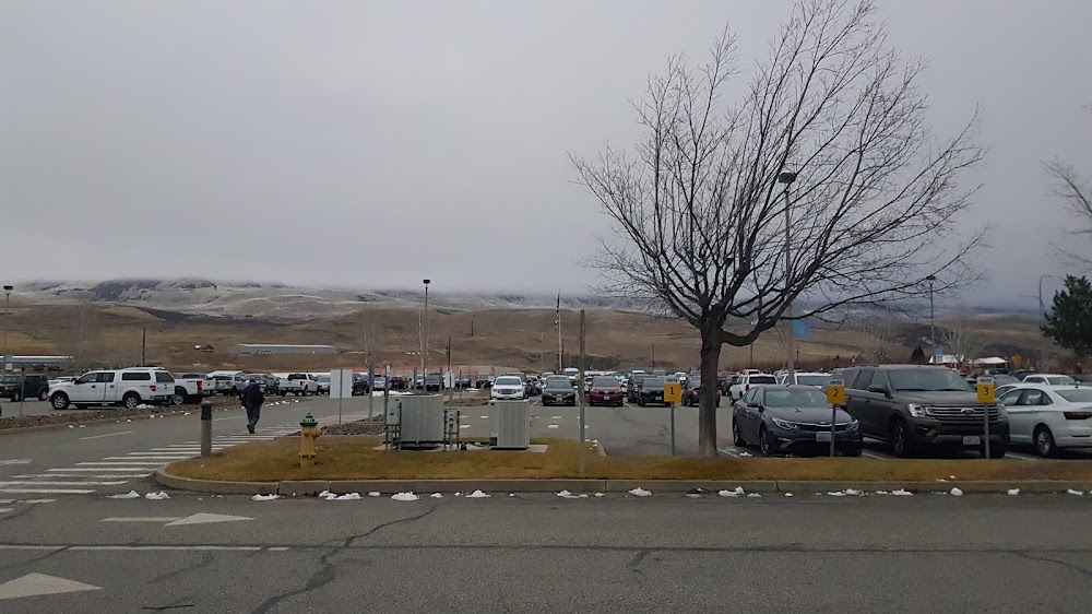
- Transient parking location
- Crew car availability
Location:
Wenatchee, WA
Elevation:
1,248ft
Sectional:
Seattle
Activation date:
Aug 1942
Fuel:
100LL, A (prices)
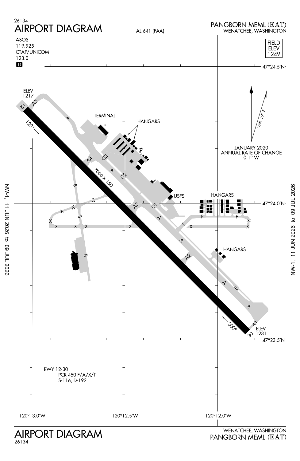
Runway 12/30:
7,000ft
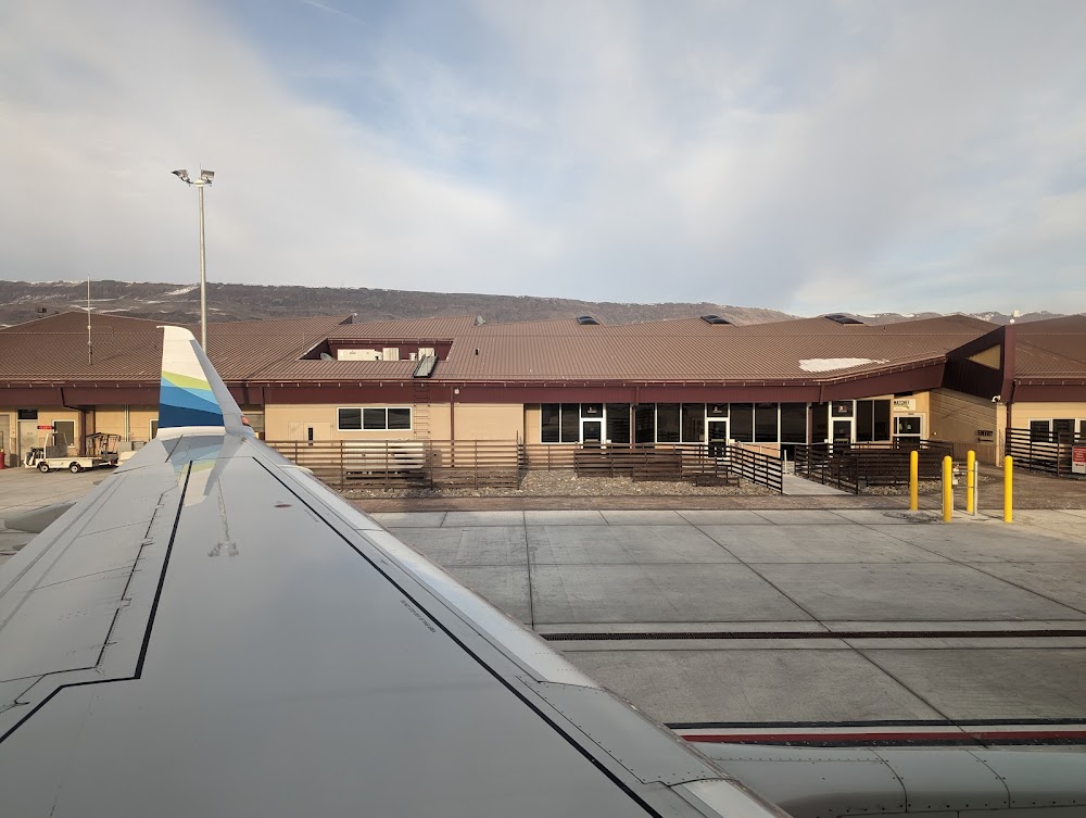
Access: Open to the public
Similar Airports


Current Weather — VFR
-
Weather data is strictly informational and not for flight planning purposes.
-
METAR2026-07-21 08:00:00 PDT
Ceiling: Sky clear Wind: 260° @ 10kt Temperature: 71°F Dewpoint: 46°F Weather: N/A Visbility: 10SM Raw:METAR KEAT 211500Z 26010KT 10SM CLR 22/08 A3001 -
TAF2026-07-21 05:00:00 PDT – 2026-07-21 13:00:00 PDT
Ceiling: Sky clear Wind: 280° @ 5kt Weather: N/A Visbility: 6SM Clouds: Few @ 20,000ft Raw:TAF KEAT 211120Z 2112/2212 28005KT P6SM FEW200 FM212000 13006KT P6SM FEW250 AMD NOT SKED -
TAF2026-07-21 13:00:00 PDT – 2026-07-22 05:00:00 PDT
Ceiling: Sky clear Wind: 130° @ 6kt Weather: N/A Visbility: 6SM Clouds: Few @ 25,000ft Raw:TAF KEAT 211120Z 2112/2212 28005KT P6SM FEW200 FM212000 13006KT P6SM FEW250 AMD NOT SKED
Click/tap to add an annotation marker to the map

Remarks
- Estabd prior to 15 may 1959.
- 24 hr ppr for unsked acr opns with more than 30 pax seats call ap ops (509) 860-1852.
- Glider activity from mar-nov.
- Cold temperature airport. altitude correction required at or below -6c.
- Uas actvty 1.56 nm e of the eat vor, 400 ft & blw durg dalgt hrs.
Comments