Pirep is a free, collaborative database of all public and private airports. All pilots are welcome to contribute their local knowledge to any airport, no registration required.


Public
Undocumented
METAR / TAF
Edit Tags
No upcoming events. Is anything happening here soon?
Airport Statistics
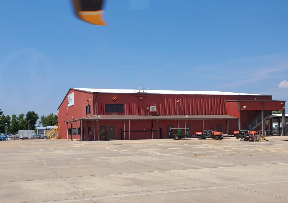
- Fuel pump location
- Local flying clubs
- WiFi availability
Location:
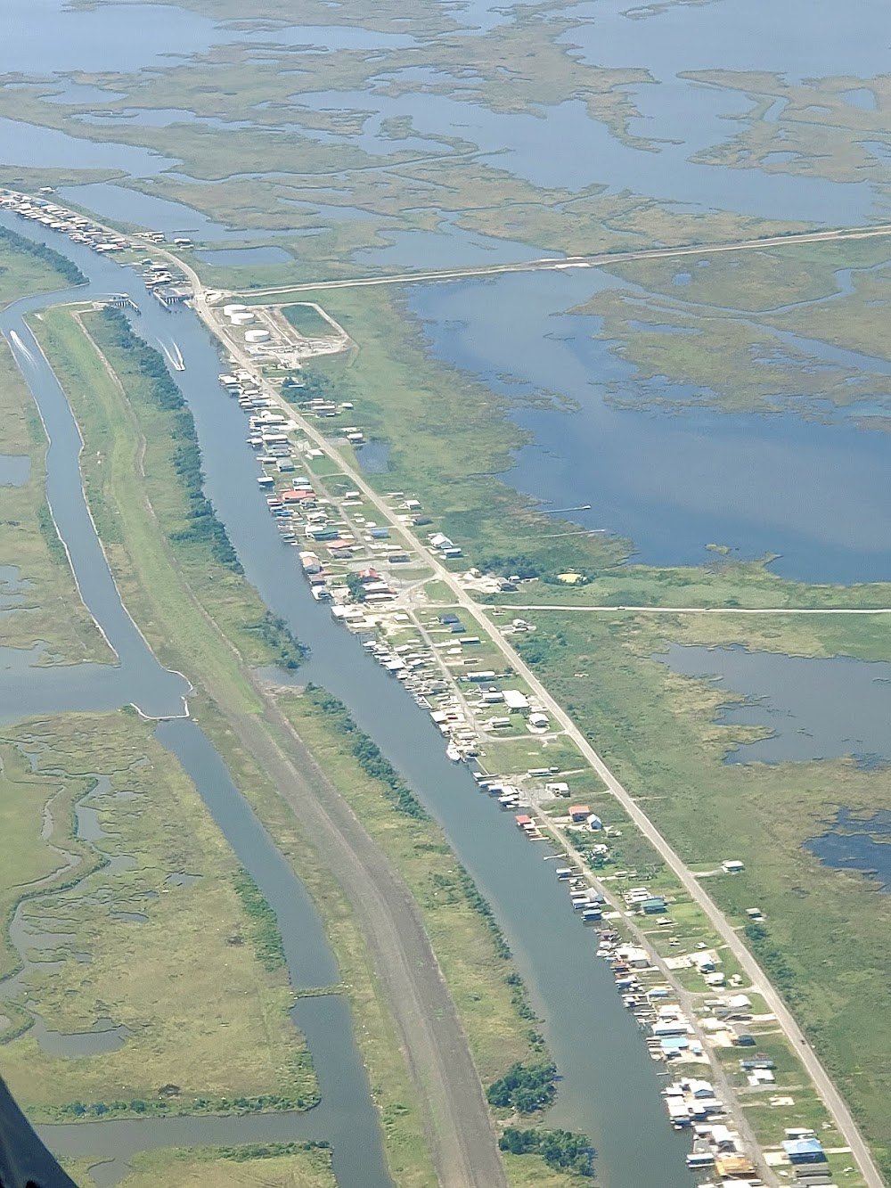
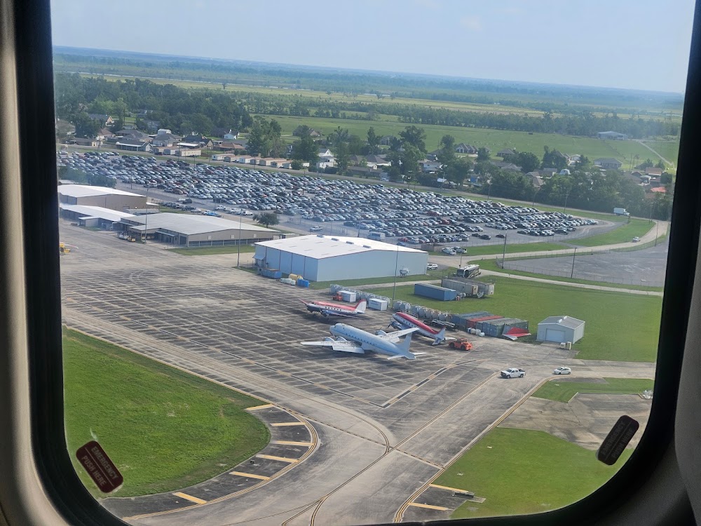
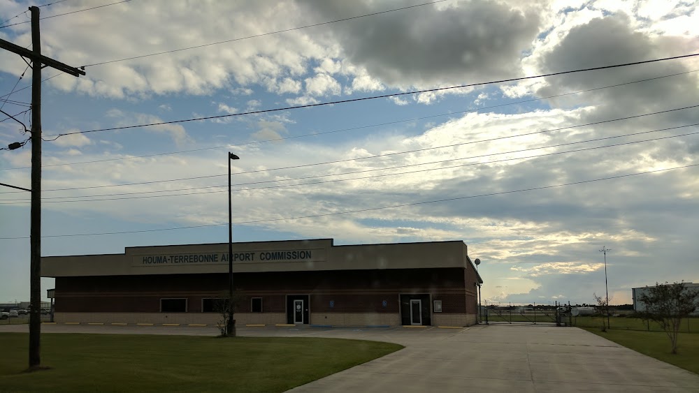
Houma, LA
Elevation:
8ft
Sectional:
New Orleans
Activation date:
Apr 1940
Fuel:
100LL, A (prices)
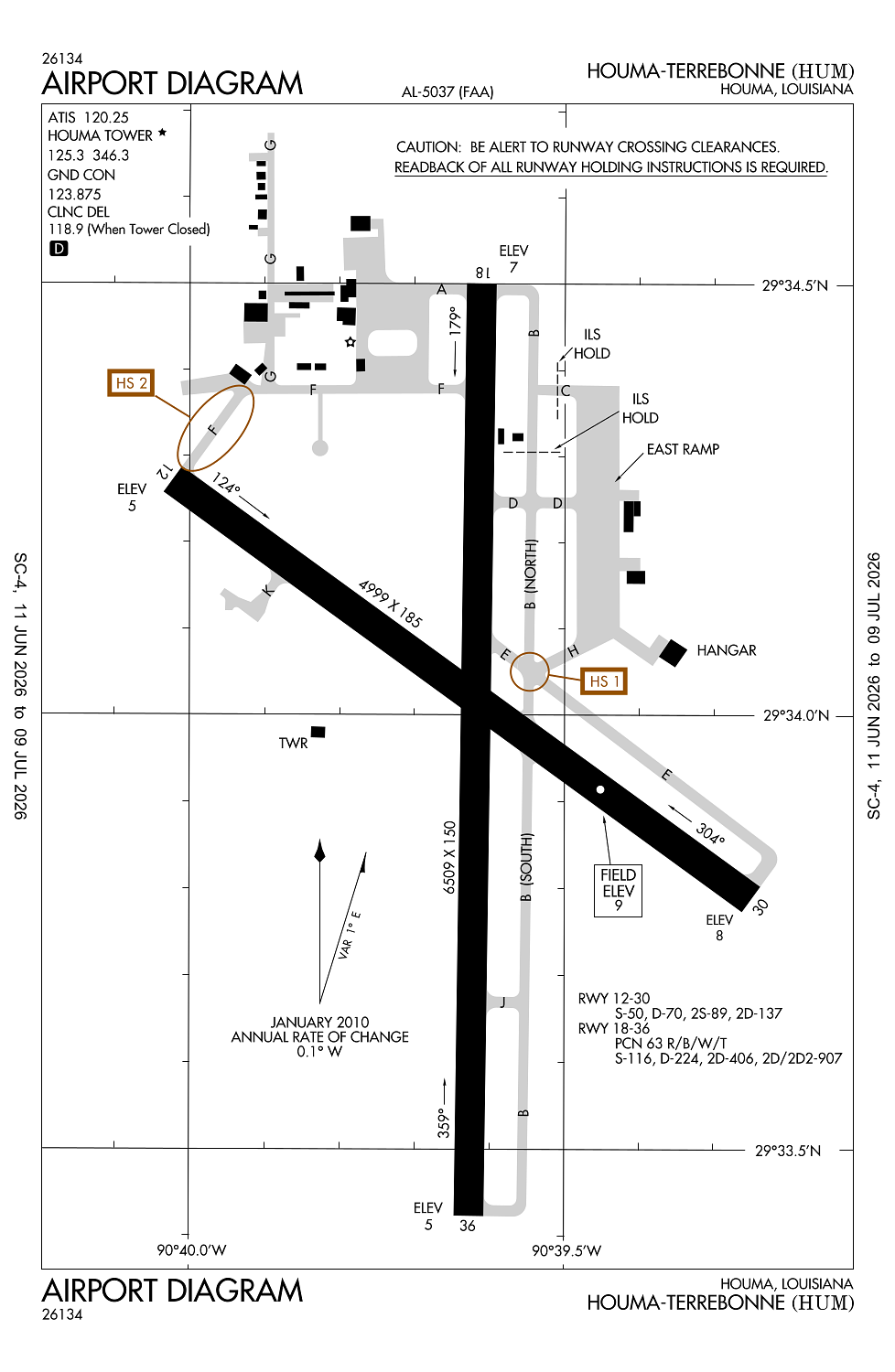
Runway 18/36:
6,509ft
Runway 12/30:
4,999ft
Access: Open to the public
Current Weather — VFR
-
Weather data is strictly informational and not for flight planning purposes.
-
METAR2026-07-21 07:47:00 CDT
Ceiling: Sky clear Wind: 320° @ 7kt Temperature: 82°F Dewpoint: 75°F Weather: N/A Visbility: 7SM Raw:METAR KHUM 211247Z 32007KT 7SM CLR 28/24 A2987 -
TAF2026-07-21 07:00:00 CDT – 2026-07-21 13:00:00 CDT
Ceiling: Sky clear Wind: 340° @ 7kt Weather: N/A Visbility: 6SM Clouds: Few @ 2,500ft Raw:TAF KHUM 211121Z 2112/2212 34007KT P6SM FEW025 FM211800 34010KT P6SM SCT030 TEMPO 2118/2122 4SM TSRA SCT030CB FM212200 31006KT P6SM FEW030 SCT090 PROB30 2122/2203 4SM TSRA BKN030CB FM220300 VRB04KT P6SM FEW025 SCT100 FM220900 30007KT P6SM FEW030 -
TAF2026-07-21 13:00:00 CDT – 2026-07-21 17:00:00 CDT
Ceiling: Sky clear Wind: 340° @ 10kt Weather: N/A Visbility: 6SM Clouds: Scattered @ 3,000ft Raw:TAF KHUM 211121Z 2112/2212 34007KT P6SM FEW025 FM211800 34010KT P6SM SCT030 TEMPO 2118/2122 4SM TSRA SCT030CB FM212200 31006KT P6SM FEW030 SCT090 PROB30 2122/2203 4SM TSRA BKN030CB FM220300 VRB04KT P6SM FEW025 SCT100 FM220900 30007KT P6SM FEW030 -
TAF2026-07-21 13:00:00 CDT – 2026-07-21 17:00:00 CDT
Ceiling: Sky clear Wind: 000° @ kt Weather: Thunderstorm rain Visbility: 4SM Clouds: Scattered @ 3,000ft Raw:TAF KHUM 211121Z 2112/2212 34007KT P6SM FEW025 FM211800 34010KT P6SM SCT030 TEMPO 2118/2122 4SM TSRA SCT030CB FM212200 31006KT P6SM FEW030 SCT090 PROB30 2122/2203 4SM TSRA BKN030CB FM220300 VRB04KT P6SM FEW025 SCT100 FM220900 30007KT P6SM FEW030 -
TAF2026-07-21 17:00:00 CDT – 2026-07-21 22:00:00 CDT
Ceiling: Sky clear Wind: 310° @ 6kt Weather: N/A Visbility: 6SM Clouds: Few @ 3,000ft, Scattered @ 9,000ft Raw:TAF KHUM 211121Z 2112/2212 34007KT P6SM FEW025 FM211800 34010KT P6SM SCT030 TEMPO 2118/2122 4SM TSRA SCT030CB FM212200 31006KT P6SM FEW030 SCT090 PROB30 2122/2203 4SM TSRA BKN030CB FM220300 VRB04KT P6SM FEW025 SCT100 FM220900 30007KT P6SM FEW030 -
TAF2026-07-21 17:00:00 CDT – 2026-07-21 22:00:00 CDT
Ceiling: 3,000ft Wind: 000° @ kt Weather: Thunderstorm rain Visbility: 4SM Clouds: Broken @ 3,000ft Raw:TAF KHUM 211121Z 2112/2212 34007KT P6SM FEW025 FM211800 34010KT P6SM SCT030 TEMPO 2118/2122 4SM TSRA SCT030CB FM212200 31006KT P6SM FEW030 SCT090 PROB30 2122/2203 4SM TSRA BKN030CB FM220300 VRB04KT P6SM FEW025 SCT100 FM220900 30007KT P6SM FEW030 -
TAF2026-07-21 22:00:00 CDT – 2026-07-22 04:00:00 CDT
Ceiling: Sky clear Wind: Variable Weather: N/A Visbility: 6SM Clouds: Few @ 2,500ft, Scattered @ 10,000ft Raw:TAF KHUM 211121Z 2112/2212 34007KT P6SM FEW025 FM211800 34010KT P6SM SCT030 TEMPO 2118/2122 4SM TSRA SCT030CB FM212200 31006KT P6SM FEW030 SCT090 PROB30 2122/2203 4SM TSRA BKN030CB FM220300 VRB04KT P6SM FEW025 SCT100 FM220900 30007KT P6SM FEW030 -
TAF2026-07-22 04:00:00 CDT – 2026-07-22 07:00:00 CDT
Ceiling: Sky clear Wind: 300° @ 7kt Weather: N/A Visbility: 6SM Clouds: Few @ 3,000ft Raw:TAF KHUM 211121Z 2112/2212 34007KT P6SM FEW025 FM211800 34010KT P6SM SCT030 TEMPO 2118/2122 4SM TSRA SCT030CB FM212200 31006KT P6SM FEW030 SCT090 PROB30 2122/2203 4SM TSRA BKN030CB FM220300 VRB04KT P6SM FEW025 SCT100 FM220900 30007KT P6SM FEW030
Click/tap to add an annotation marker to the map
No webcams added yet.
Remarks
- Birds on & invof arpt. numerous birds 500 ft agl & blo 2.8 nm ssw aer 36; avoidance advised.
- Ry 12/30 sfc skid resistance fair when wet
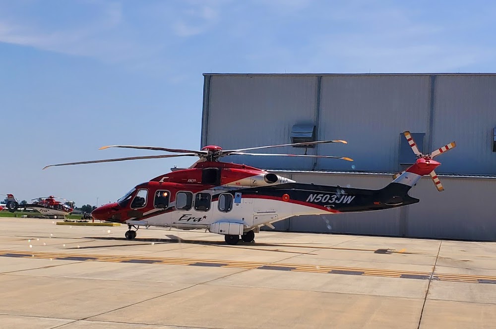
- Extensive helicopter opns south thru west of arpt.
- For cd when atct is clsd ctc msy apch at 504-471-4350 or 118.9.
- Actvt malsr rwy 18; reil rwy 12, 30 & 36; mirl rwy 12/30 & 18/36 - ctaf.
Comments