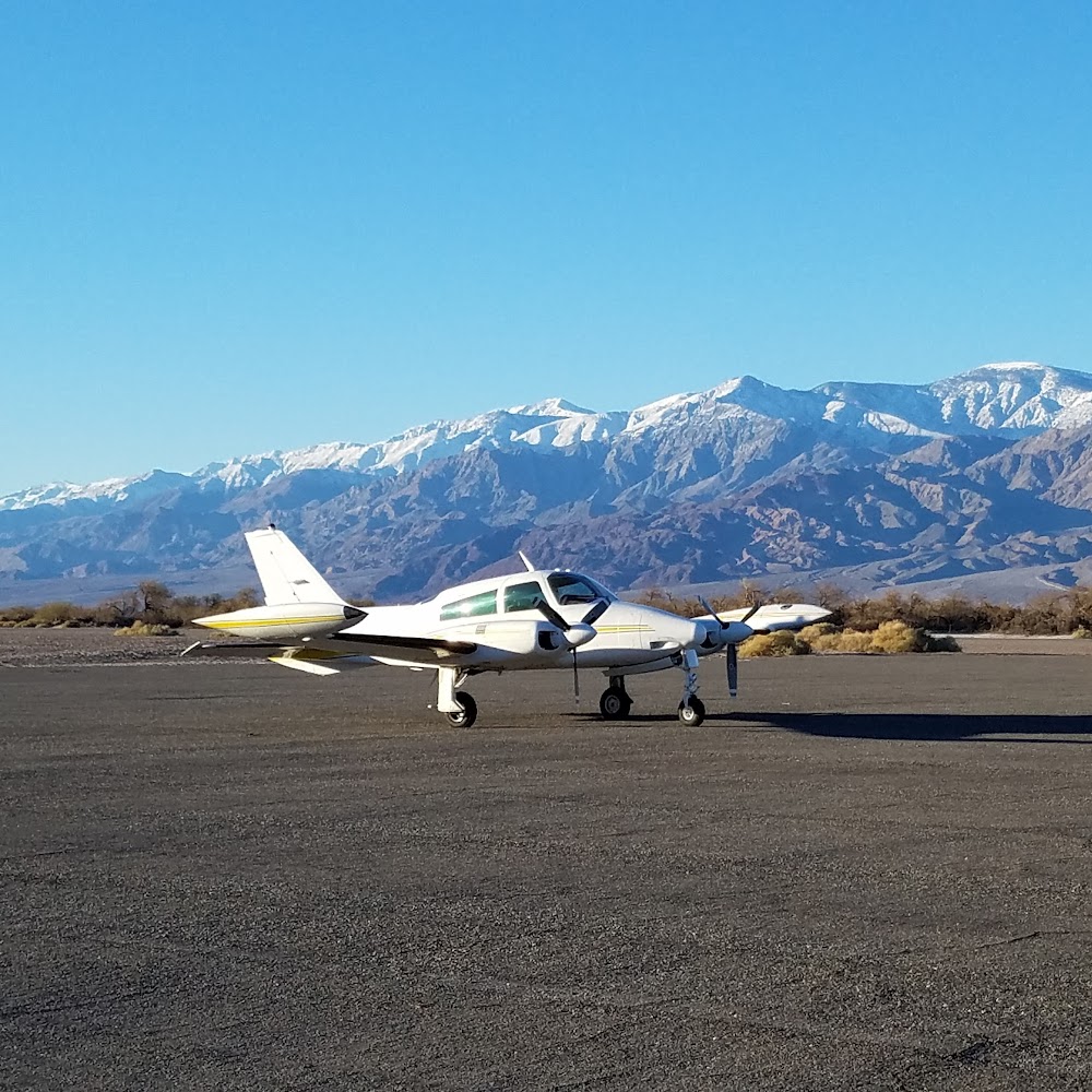
Pirep is a free, collaborative database of all public and private airports. All pilots are welcome to contribute their local knowledge to any airport, no registration required.
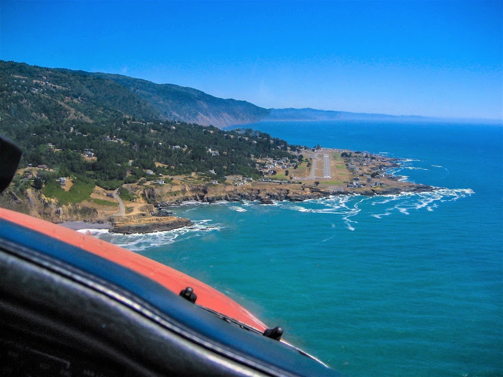

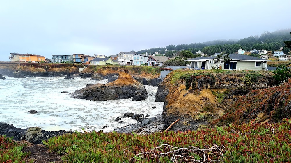
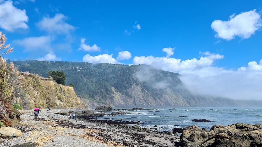


No upcoming events. Is anything happening here soon?
Last updated: 2024-04-06 01:04:19 PDT
Last updated: 2023-04-15 23:21:55 PDT
Airport Statistics
Location:
Shelter Cove, CA
Elevation:
73ft
Sectional:
Klamath Falls
Activation date:
Jun 1950
Fuel:
None
Runway 12/30:
3,407ft
Access: Open to the public
Similar Airports
Click/tap to add an annotation marker to the map
No webcams added yet.
Remarks
- Arpt use restricted by amgr to acft having a maximum certificated gross tkof wgt of 12,500 lbs or less; ctc amgr for additional info (707)986-7447.
- Student pilot solo flights prohibited.
- No practice low apchs or touch and go landings.
- Be alert for ultra-lights, hangliders and parachuters invof arpt.
- Golf carts operating on and invof arpt.
- Expect crosswinds, downdrafts and extdd periods of fog year-round.
- Terrain +40 ft drop off lctd 500 ft north ry 12 end.
- For cd ctc oakland artcc at 510-745-3380.
Comments
