Pirep is a free, collaborative database of all public and private airports. All pilots are welcome to contribute their local knowledge to any airport, no registration required.
No upcoming events. Is anything happening here soon?
Last updated: 2023-07-03 00:20:00 PDT
Airport Statistics
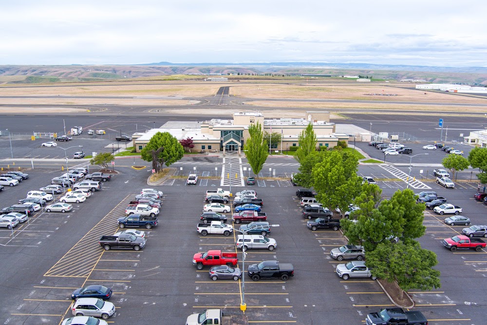
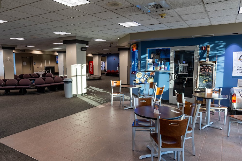
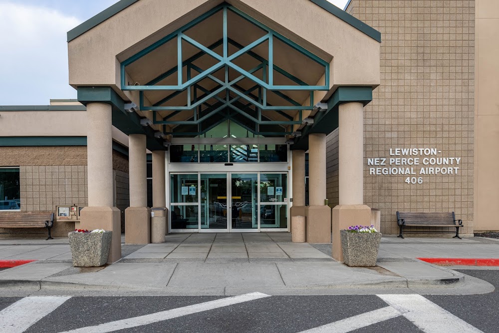
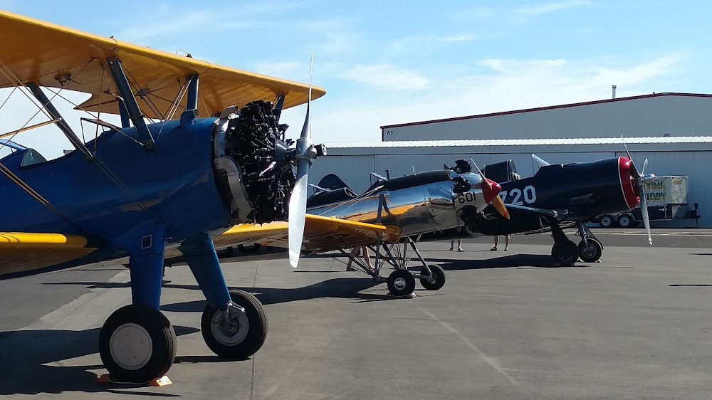
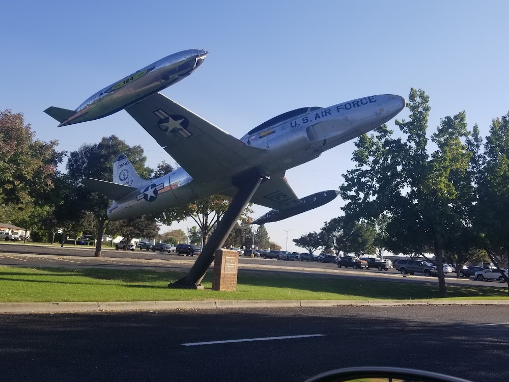
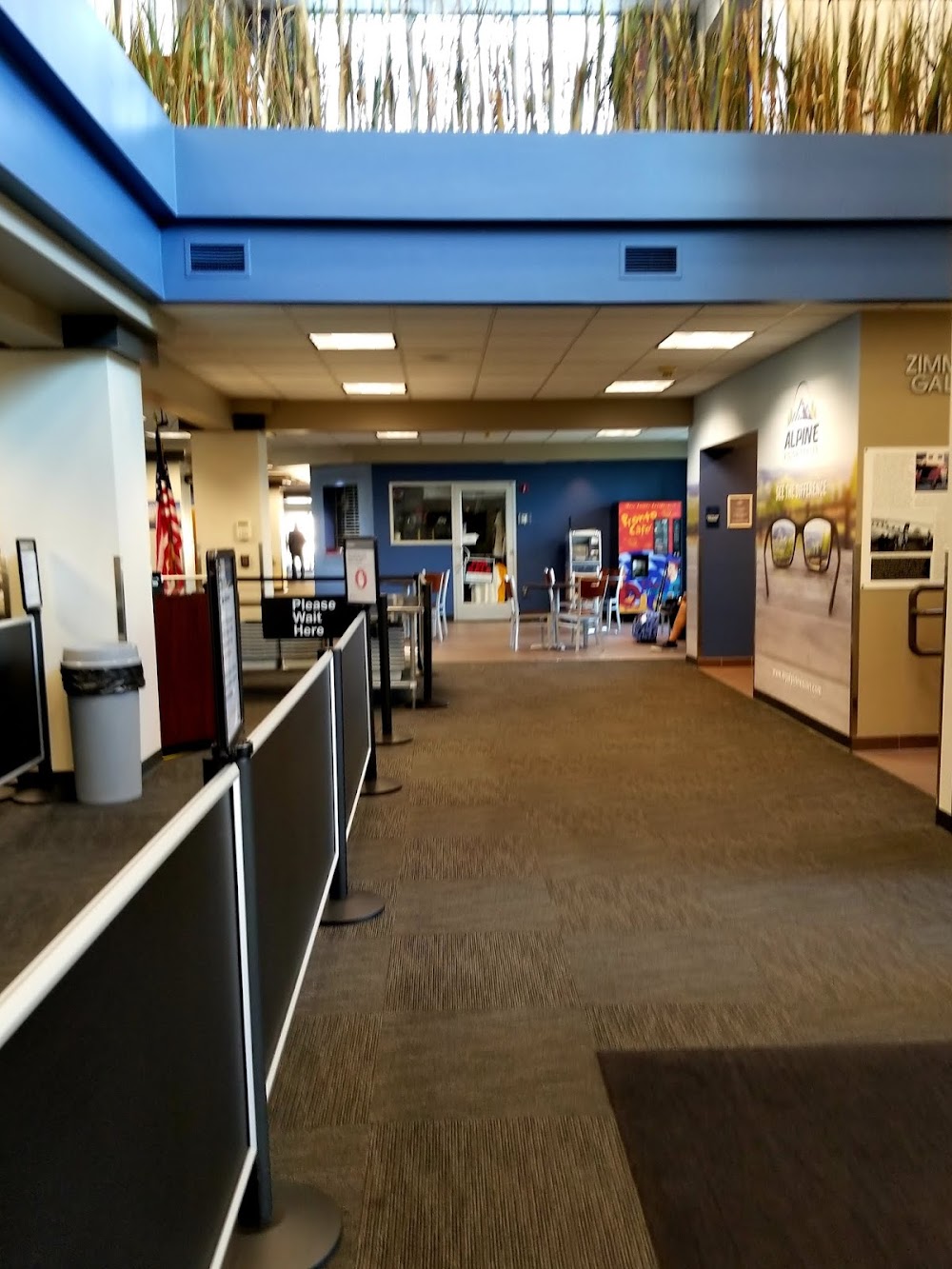
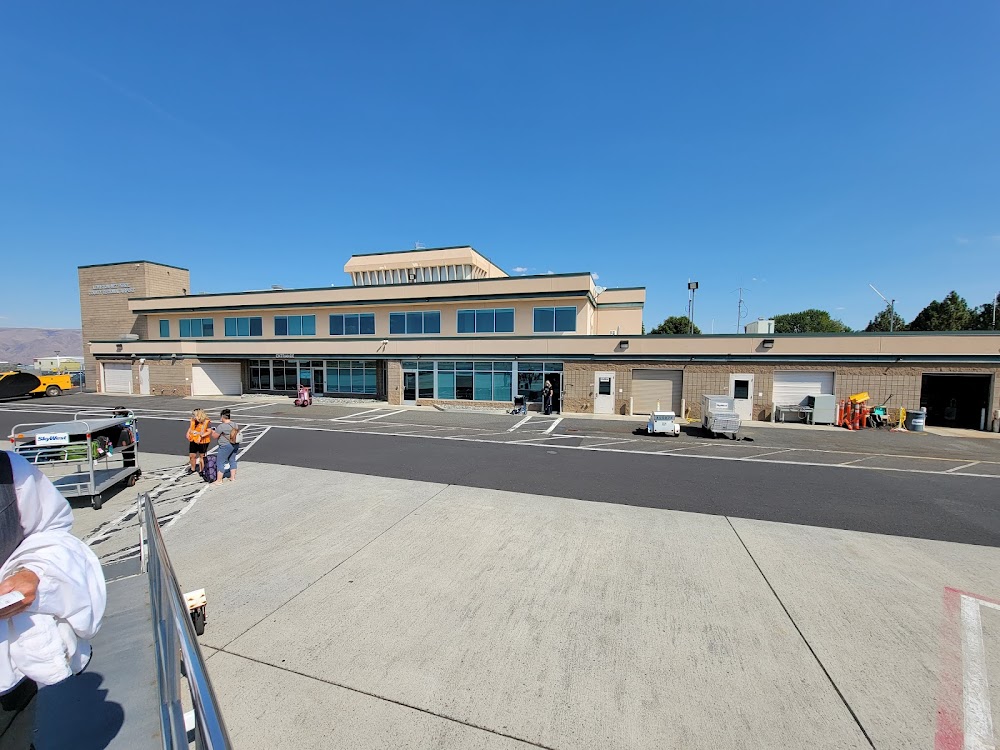
- Airport photos
- Landing & tie-down fees
- Crew car availability
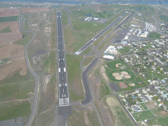
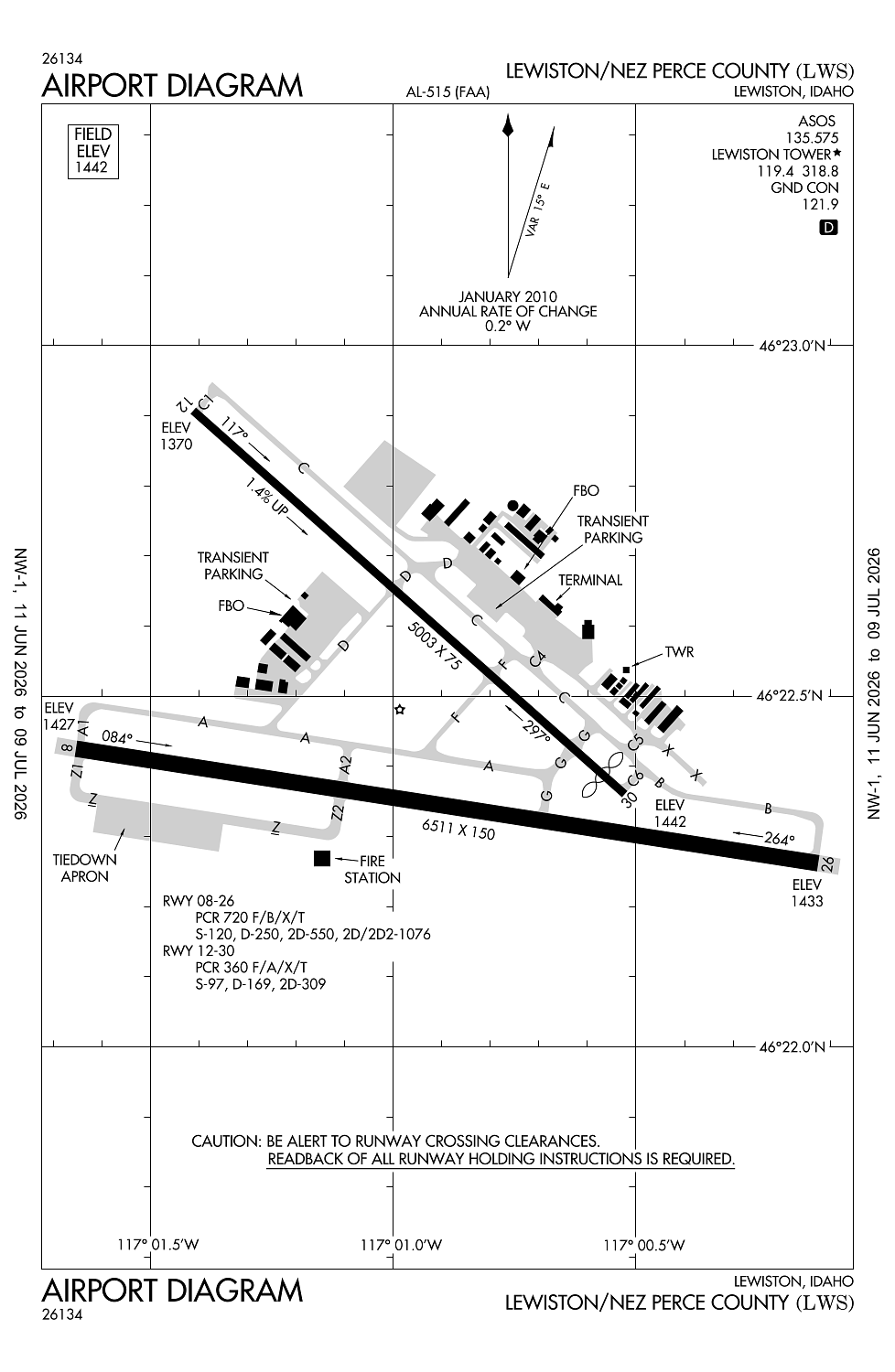
Location:
Lewiston, ID
Elevation:
1,442ft
Sectional:
Seattle
Activation date:
Jul 1944
Fuel:
100, 100LL, A (prices)
Runway 08/26:
6,511ft
Runway 12/30:
5,003ft
Access: Open to the public
Similar Airports
Current Weather — VFR
-
Weather data is strictly informational and not for flight planning purposes.
-
METAR2026-07-19 09:56:00 PDT
Ceiling: Sky clear Wind: 310° @ 4kt Temperature: 75°F Dewpoint: 42°F Weather: N/A Visbility: 10SM Raw:METAR KLWS 191656Z AUTO 31004KT 10SM CLR 24/06 A3003 RMK AO2 SLP160 T02390061 $ -
TAF2026-07-19 05:00:00 PDT – 2026-07-19 07:00:00 PDT
Ceiling: Sky clear Wind: 160° @ 5kt Weather: N/A Visbility: 6SM Clouds: @ ft Raw:TAF KLWS 191145Z 1912/2012 16005KT P6SM SKC FM191400 VRB02KT P6SM SKC FM191800 33005KT P6SM SKC FM192300 34008KT P6SM BKN250 FM200400 VRB04KT P6SM BKN250 -
TAF2026-07-19 07:00:00 PDT – 2026-07-19 11:00:00 PDT
Ceiling: Sky clear Wind: Variable Weather: N/A Visbility: 6SM Clouds: @ ft Raw:TAF KLWS 191145Z 1912/2012 16005KT P6SM SKC FM191400 VRB02KT P6SM SKC FM191800 33005KT P6SM SKC FM192300 34008KT P6SM BKN250 FM200400 VRB04KT P6SM BKN250 -
TAF2026-07-19 11:00:00 PDT – 2026-07-19 16:00:00 PDT
Ceiling: Sky clear Wind: 330° @ 5kt Weather: N/A Visbility: 6SM Clouds: @ ft Raw:TAF KLWS 191145Z 1912/2012 16005KT P6SM SKC FM191400 VRB02KT P6SM SKC FM191800 33005KT P6SM SKC FM192300 34008KT P6SM BKN250 FM200400 VRB04KT P6SM BKN250 -
TAF2026-07-19 16:00:00 PDT – 2026-07-19 21:00:00 PDT
Ceiling: 25,000ft Wind: 340° @ 8kt Weather: N/A Visbility: 6SM Clouds: Broken @ 25,000ft Raw:TAF KLWS 191145Z 1912/2012 16005KT P6SM SKC FM191400 VRB02KT P6SM SKC FM191800 33005KT P6SM SKC FM192300 34008KT P6SM BKN250 FM200400 VRB04KT P6SM BKN250 -
TAF2026-07-19 21:00:00 PDT – 2026-07-20 05:00:00 PDT
Ceiling: 25,000ft Wind: Variable Weather: N/A Visbility: 6SM Clouds: Broken @ 25,000ft Raw:TAF KLWS 191145Z 1912/2012 16005KT P6SM SKC FM191400 VRB02KT P6SM SKC FM191800 33005KT P6SM SKC FM192300 34008KT P6SM BKN250 FM200400 VRB04KT P6SM BKN250
Click/tap to add an annotation marker to the map
No webcams added yet.
Remarks
- Clsd to unsked acr opns with more than 30 psgr seats excp ppr call amgr 208-790-1050.
- (e94) lawrs
- Frequent no radio agricultural acft activity in vicinity of arpt.
- For cd if una to ctc on fss freq, ctc seattle artcc at 253-351-3694.
- Lws apn e hngr ramp clsd to acrs exc ga and acft wingspan less than 58 ft.
Comments