Pirep is a free, collaborative database of all public and private airports. All pilots are welcome to contribute their local knowledge to any airport, no registration required.
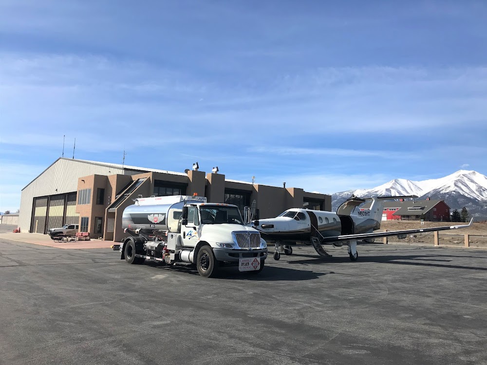
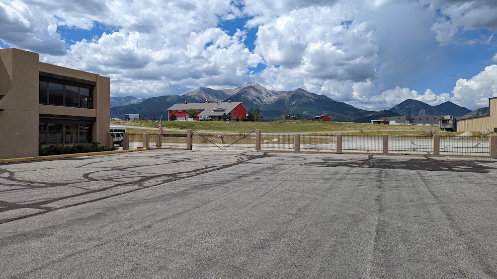
Public
Undocumented
METAR / TAF
Edit Tags
No upcoming events. Is anything happening here soon?
Airport Statistics
- WiFi availability
- Airport photos
- Crew car availability
Location:
Buena Vista, CO
Elevation:
7,950ft
Sectional:
Denver
Activation date:
May 1964
Fuel:
100LL, A
Runway 15/33:
8,303ft
Access: Open to the public
Current Weather — MVFR
-
Weather data is strictly informational and not for flight planning purposes.
-
METAR2026-10-25 10:15:00 MDT
Ceiling: 2,100ft Wind: Calm Temperature: 36°F Dewpoint: 34°F Weather: N/A Visbility: 10SM Clouds: Overcast @ 2,100ft Raw:METAR KAEJ 251615Z AUTO 00000KT 10SM OVC021 03/01 A3036 RMK AO2 T00250012
Click/tap to add an annotation marker to the map
No webcams added yet.
Remarks
- All twys mkd with blue/yellow reflectors.
- Deer on & invof arpt.
- -3 ft drainage ditch 170 ft e of ry 15/33 cntrln, full length.
- Ry 15 has +25 ft tree 765 ft fm thld 275 r of cntrln.
- Cold temperature airport. altitude correction required at or below -21c.
- For cd ctc denver artcc at 303-651-4257.
- Actvt mirl ry 15/33 & papi rys 15 & 33 - ctaf.
- For svc after hrs call 719-395-3496.
Comments