Pirep is a free, collaborative database of all public and private airports. All pilots are welcome to contribute their local knowledge to any airport, no registration required.


Public
Undocumented
METAR / TAF
Edit Tags
No upcoming events. Is anything happening here soon?
Airport Statistics
- Local flying clubs
- General description
- Fuel pump location
Location:
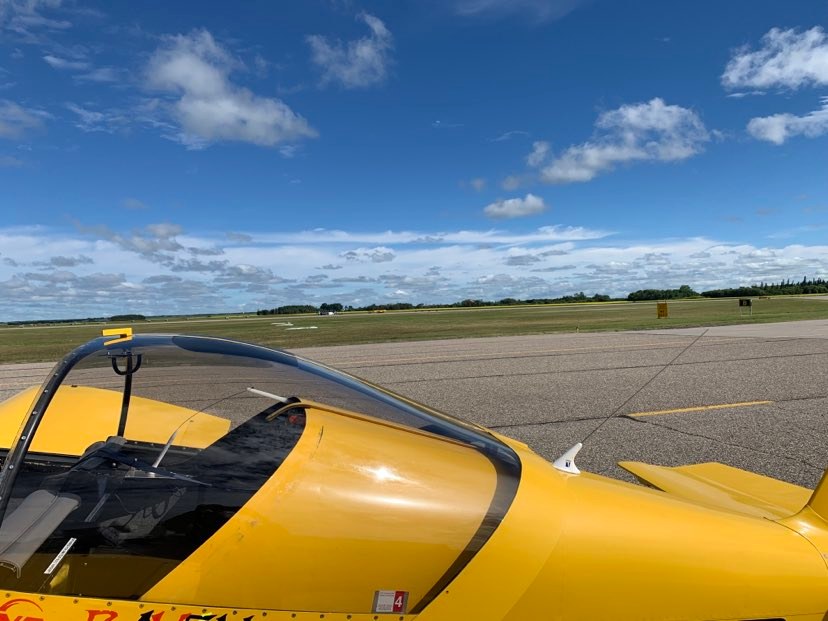
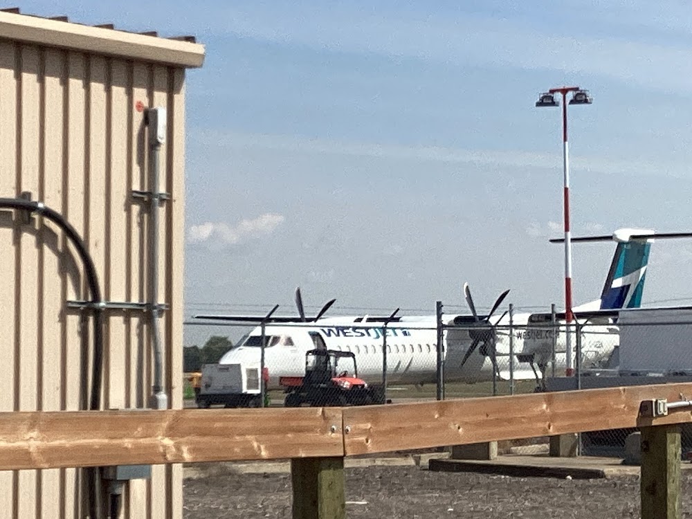
Brandon, Manitoba
Elevation:
1,343ft
Runway 08/26:
6,500ft
Runway 14/32:
3,000ft
Warning: This airport was imported from a non-authoritative source. Its public/private status may not be accurate.
Access: Open to the public
Current Weather — VFR
-
Weather data is strictly informational and not for flight planning purposes.
-
METAR2026-07-21 11:00:00 CDT
Ceiling: 25,000ft Wind: 350° @ 3kt Temperature: 68°F Dewpoint: 57°F Weather: N/A Visbility: 15SM Clouds: Scattered @ 2,800ft, Broken @ 25,000ft Raw:METAR CYBR 211600Z 35003KT 330V050 15SM SCT028 BKN250 20/14 A3015 RMK CU3CI3 SLP216 DENSITY ALT 2000FT -
TAF2026-07-21 07:00:00 CDT – 2026-07-21 11:00:00 CDT
Ceiling: Sky clear Wind: 300° @ 6kt Weather: N/A Visbility: 6SM Clouds: Few @ 4,000ft Raw:TAF CYBR 211140Z 2112/2124 30006KT P6SM FEW040 FM211600 35008KT P6SM SCT040 FM212000 VRB03KT P6SM SCT050 TEMPO 2120/2124 P6SM -SHRA BKN050 RMK FCST BASED ON AUTO OBS. NXT FCST BY 211800Z -
TAF2026-07-21 11:00:00 CDT – 2026-07-21 15:00:00 CDT
Ceiling: Sky clear Wind: 350° @ 8kt Weather: N/A Visbility: 6SM Clouds: Scattered @ 4,000ft Raw:TAF CYBR 211140Z 2112/2124 30006KT P6SM FEW040 FM211600 35008KT P6SM SCT040 FM212000 VRB03KT P6SM SCT050 TEMPO 2120/2124 P6SM -SHRA BKN050 RMK FCST BASED ON AUTO OBS. NXT FCST BY 211800Z -
TAF2026-07-21 15:00:00 CDT – 2026-07-21 19:00:00 CDT
Ceiling: 5,000ft Wind: 000° @ kt Weather: Light rain showers Visbility: 6SM Clouds: Broken @ 5,000ft Raw:TAF CYBR 211140Z 2112/2124 30006KT P6SM FEW040 FM211600 35008KT P6SM SCT040 FM212000 VRB03KT P6SM SCT050 TEMPO 2120/2124 P6SM -SHRA BKN050 RMK FCST BASED ON AUTO OBS. NXT FCST BY 211800Z -
TAF2026-07-21 15:00:00 CDT – 2026-07-21 19:00:00 CDT
Ceiling: Sky clear Wind: Variable Weather: N/A Visbility: 6SM Clouds: Scattered @ 5,000ft Raw:TAF CYBR 211140Z 2112/2124 30006KT P6SM FEW040 FM211600 35008KT P6SM SCT040 FM212000 VRB03KT P6SM SCT050 TEMPO 2120/2124 P6SM -SHRA BKN050 RMK FCST BASED ON AUTO OBS. NXT FCST BY 211800Z
Click/tap to add an annotation marker to the map
No webcams added yet.
Comments