Pirep is a free, collaborative database of all public and private airports. All pilots are welcome to contribute their local knowledge to any airport, no registration required.
Sadly, this airport is reportedly closed based on it being removed from the FAA's database.
No upcoming events. Is anything happening here soon?
Last updated: 2023-04-04 14:49:55 PDT
Airport Statistics
- Local flying clubs
- Fuel pump location
- WiFi availability
Location:
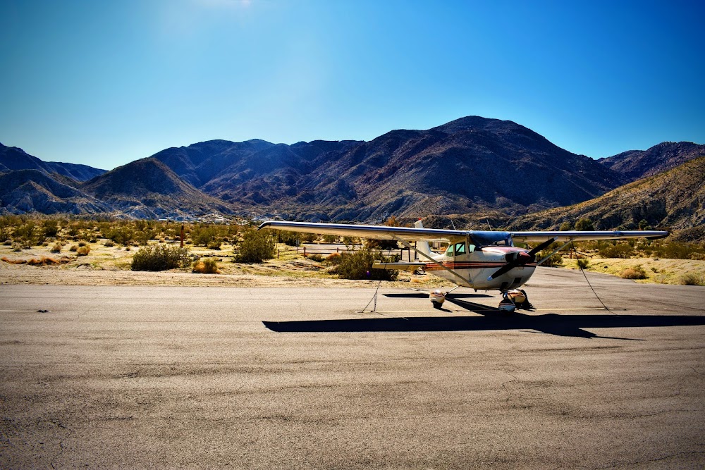
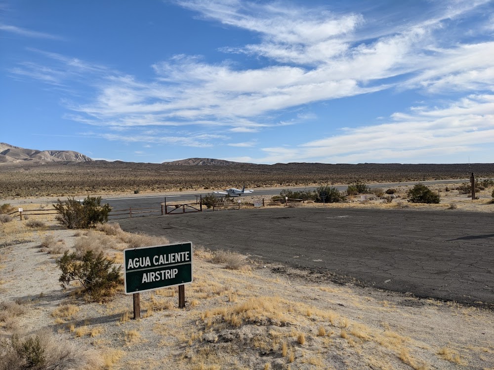
Agua Caliente Springs, CA
Elevation:
1,220ft
Sectional:
Los Angeles
Activation date:
Jul 1960
Closed date:
Aug 2025
Fuel:
None
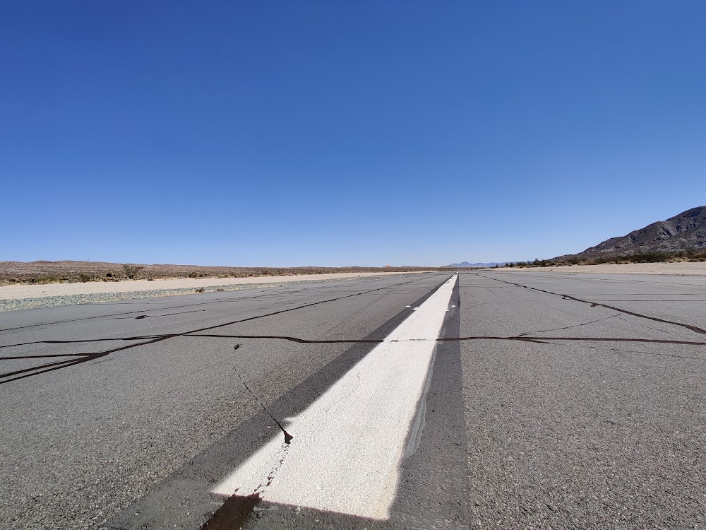
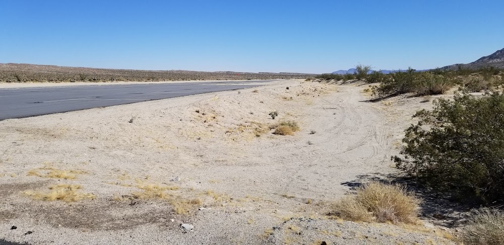
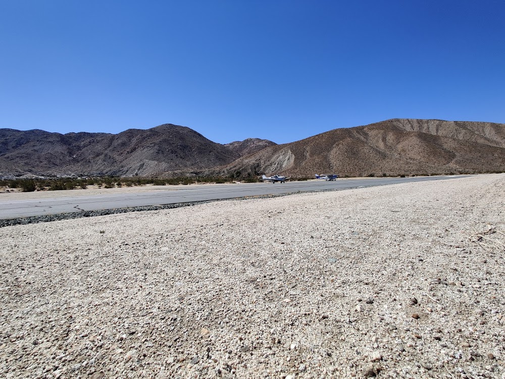
Runway 11/29:
2,500ft
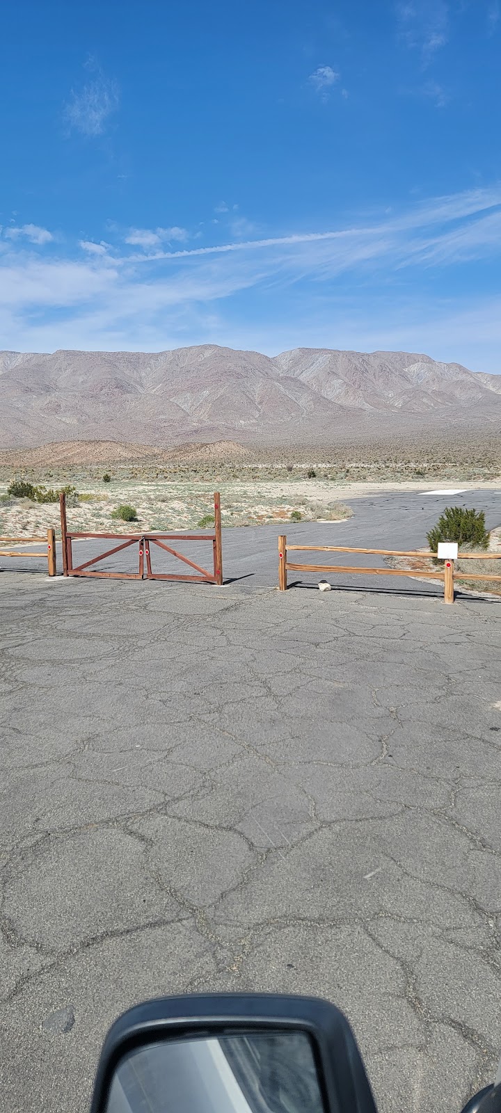
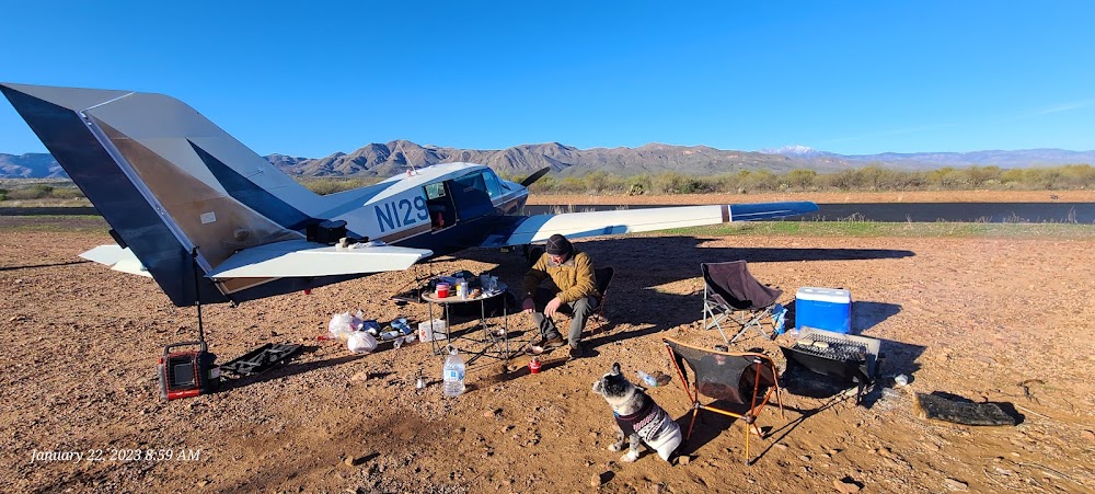
Access: Open to the public
Similar Airports

Click/tap to add an annotation marker to the map
No webcams added yet.
Remarks
- Estabd prior to 5/15/59.
- Hazardous during rains or flash floods.
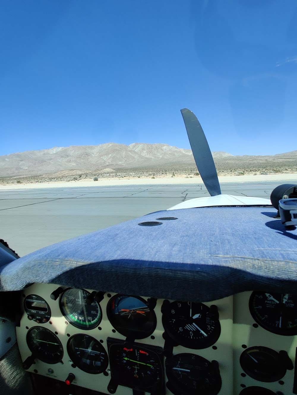
- Obstrn part 77-mtns s & w of rwy, dirt berm, ditch, sand both sides of rwy.
- Acft tied down within primary sfc.
- Wind permitting use of ry 29 for landing and ry 11 for departure recommended due to 460 ft hill 1/2 mile west of airport
- Acft shall self annc on ctaf prior to ldg or dep.
- Ppr for all mil acft, copter skid/run-on ldg prohibited; ctc amgr.
- For cd ctc los angeles artcc at 661-575-2079.
Comments