Pirep is a free, collaborative database of all public and private airports. All pilots are welcome to contribute their local knowledge to any airport, no registration required.
Public
Undocumented
Edit Tags
No upcoming events. Is anything happening here soon?
Airport Statistics
- Fuel pump location
- WiFi availability
- Landing & tie-down fees
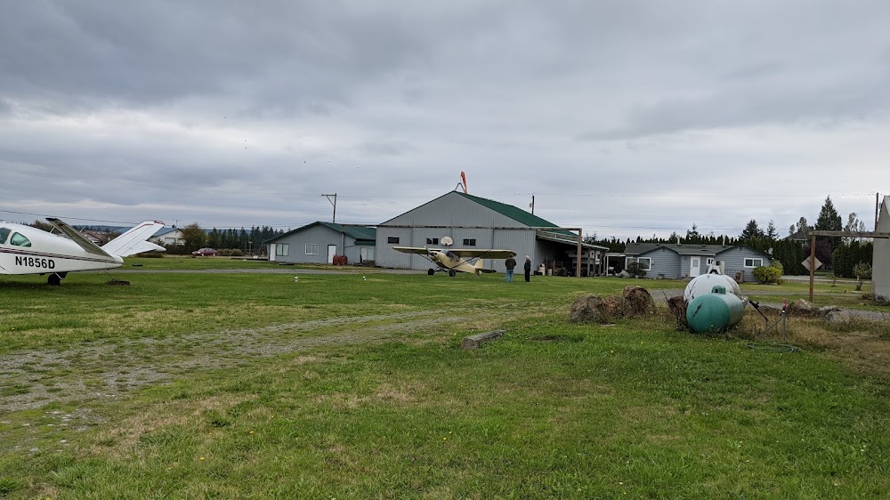
Location:
Stanwood, WA
Elevation:
145ft
Sectional:
Seattle
Activation date:
Jan 1964
Fuel:
None
Runway 16/34:
1,750ft
Access: Open to the public
This airport is privately owned but open to the public.
Click/tap to add an annotation marker to the map
No webcams added yet.
Remarks
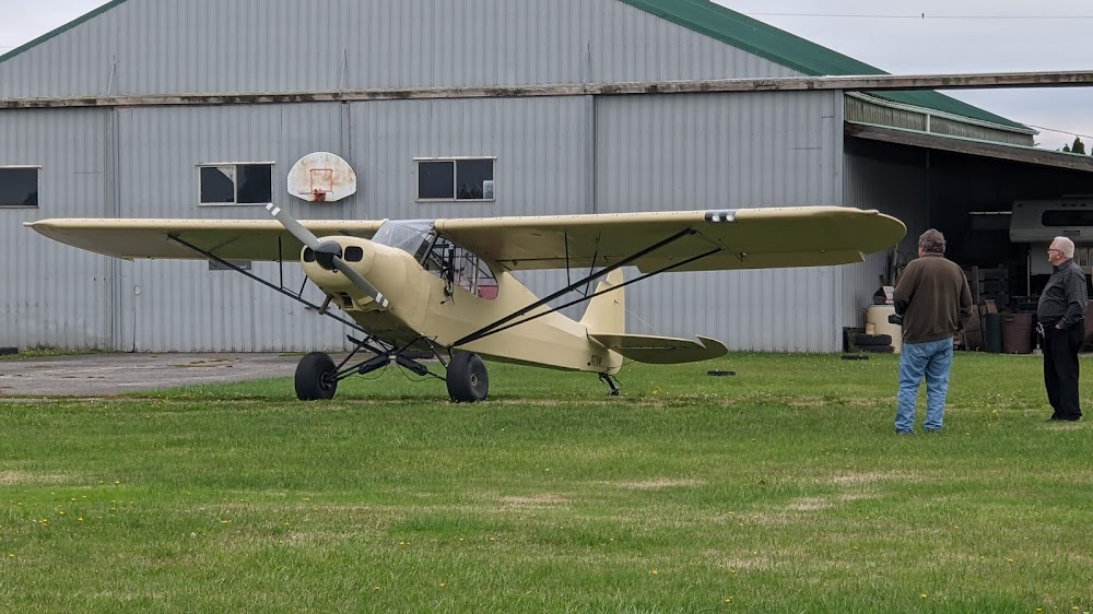
- Student landings not rcmdd unless accompanied by an instructor.
- Fst 1049 ft of rwy 16 has 3 pct uphill slp to the south.
- Parallel driveway adjacent to ry 16/34.
- Do not taxi on grass oct - may.
- 50 ft trees, 60 ft e of cntrln in pri sfc.
- No take-offs or landings during hours of darkness.
- For cd ctc whidbey apch at 360-257-3310.
- Pilots bring own tie-downs.
Comments