Pirep is a free, collaborative database of all public and private airports. All pilots are welcome to contribute their local knowledge to any airport, no registration required.
Public
Undocumented
Edit Tags
No upcoming events. Is anything happening here soon?
Airport Statistics
- Tags
- Airport map annotations
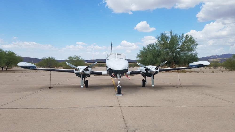
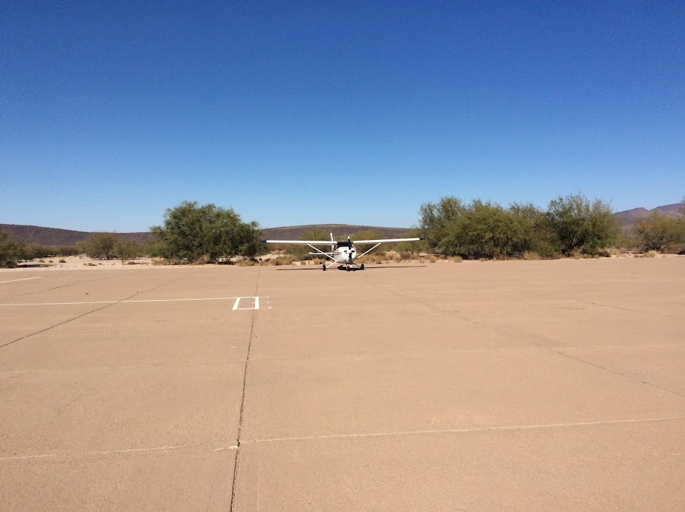
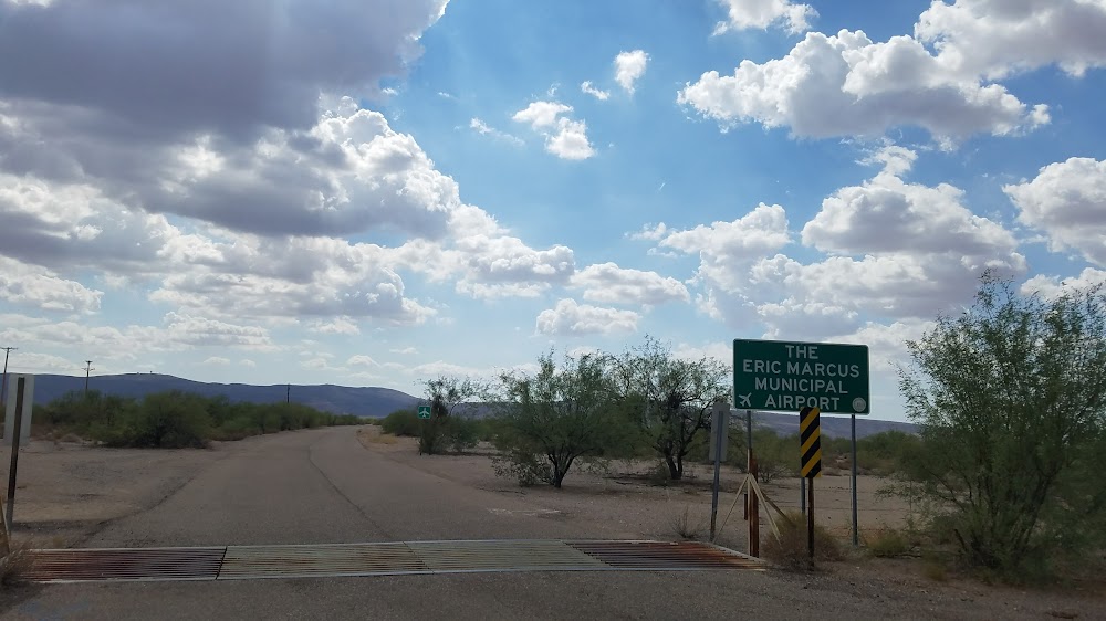
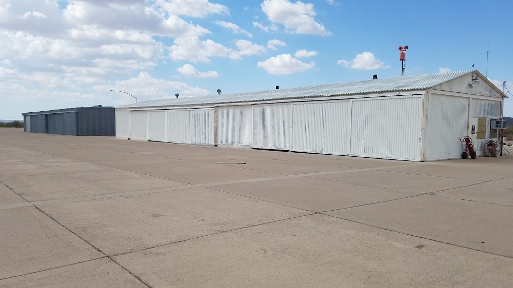
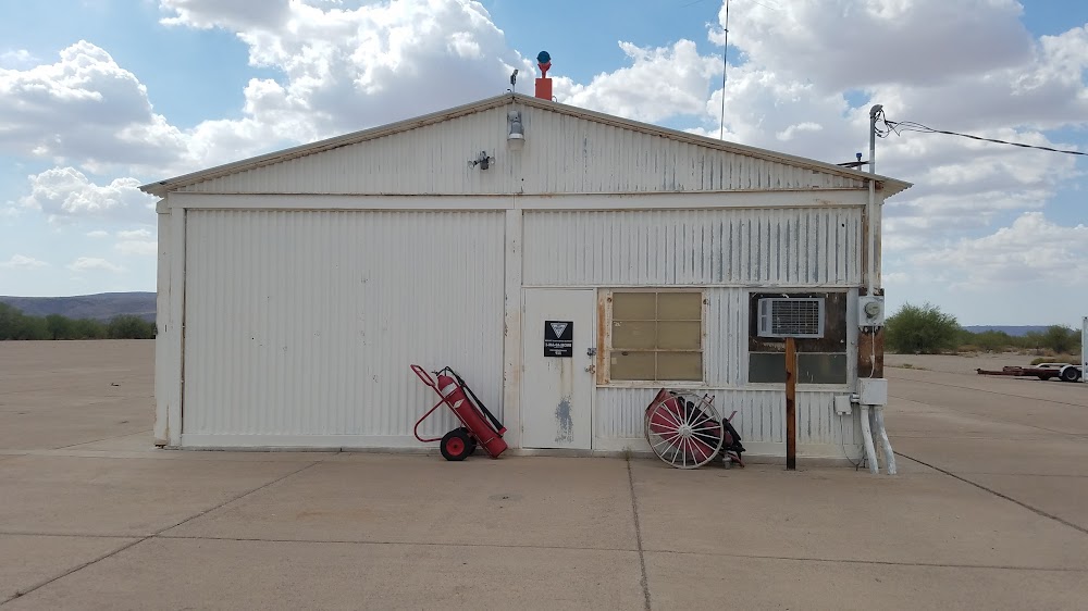
- Airport photos
Location:
Ajo, AZ
Elevation:
1,450ft
Sectional:
Phoenix
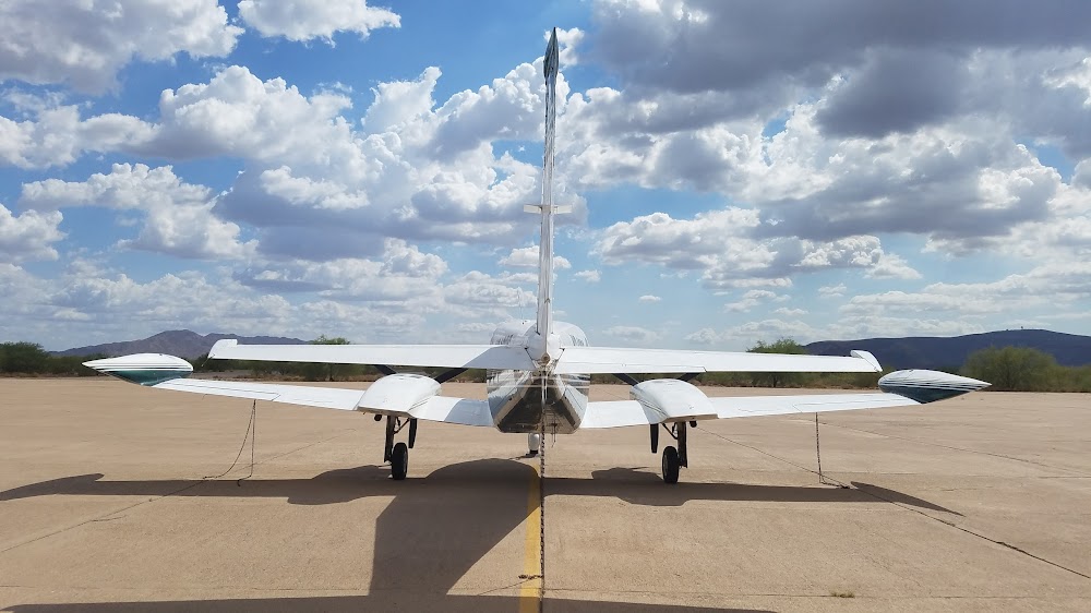
Fuel:
None
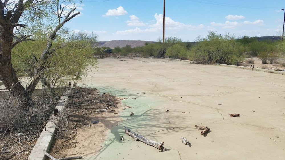
Runway 12/30:
3,800ft
Access: Open to the public
Click/tap to add an annotation marker to the map
No webcams added yet.
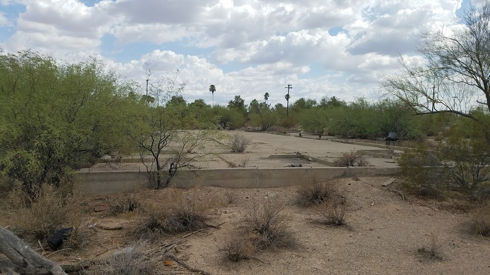
Remarks
- Estabd prior to 1959.
- Mt all quads. mil jet tfc & livestock on & invof arpt.
- Mountains in all quadrants.
- 4 ft dike 1340 ft fm thr rwy 30.
- Rwy 12/30 asph & gravel stopway 1400 ft nw end, 1065 ft stopway se end. asph broken, short brush growing on stopways byd 200 ft fm thrs.
- Ry 12/30 has a number of 2 ft by 2 ft exposed conc cable markers both sides of ry within 20 ft of paved sfc.
- 6-10 ft raised panels acrs ramp 70 ft in front of t-hngrs; mkd with paint.
- Livestock on or in vicinity of airport.
Comments