Pirep is a free, collaborative database of all public and private airports. All pilots are welcome to contribute their local knowledge to any airport, no registration required.

No upcoming events. Is anything happening here soon?
Airport Statistics
- Fuel pump location
- General description
- Webcam links
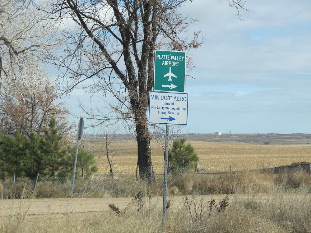
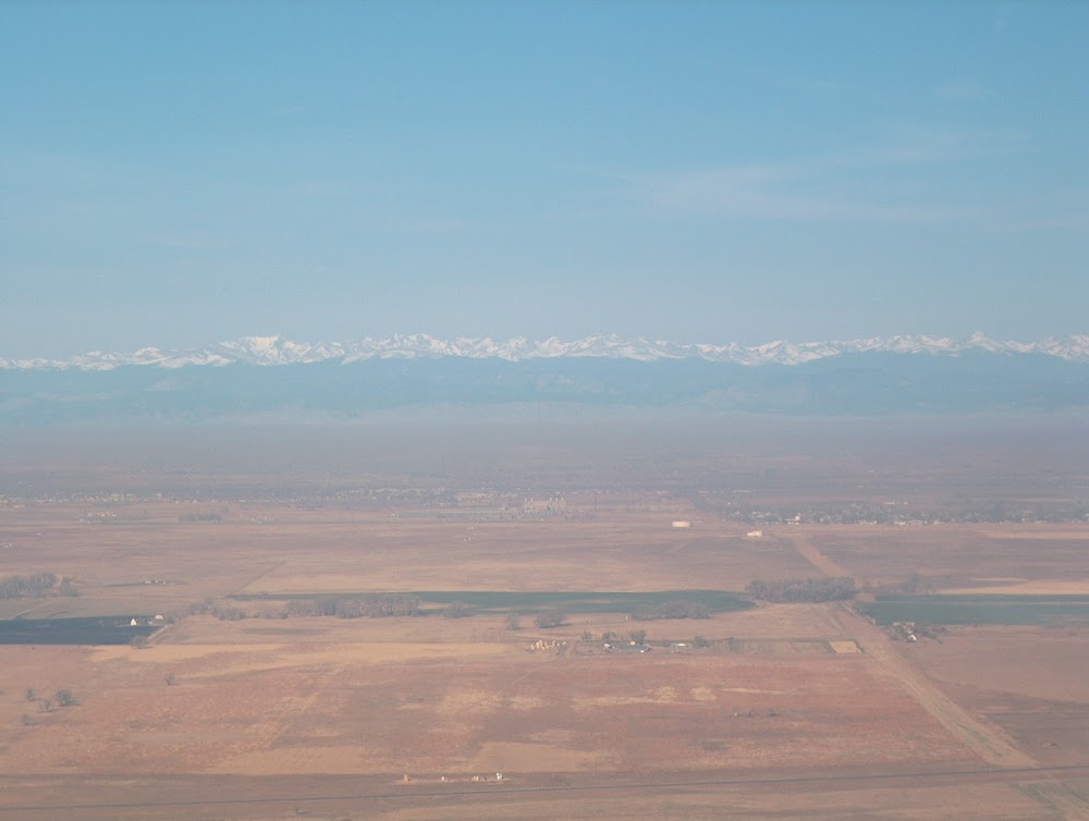
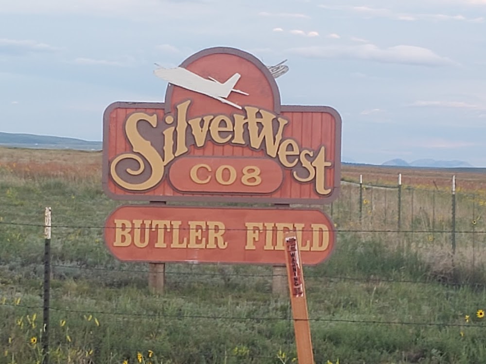
Location:
Hudson, CO
Elevation:
4,965ft
Sectional:
Cheyenne
Activation date:
Mar 1966
Fuel:
100LL (prices)
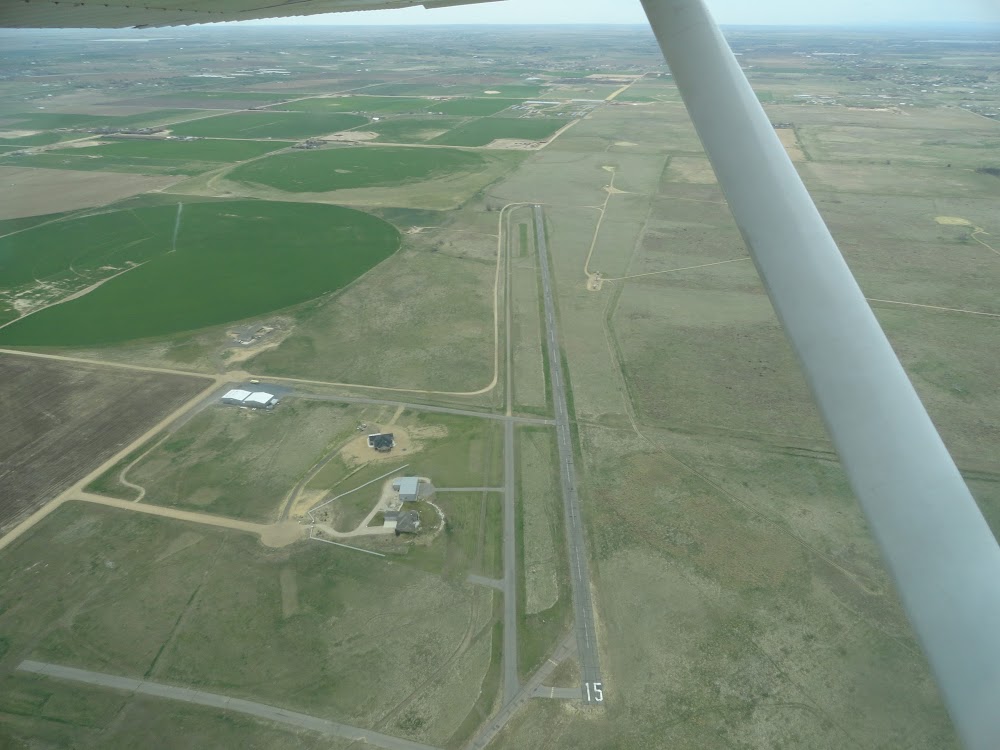
Runway 15/33:
4,100ft
Runway 09/27:
2,500ft
Access: Open to the public
This airport is privately owned but open to the public.
Similar Airports

Click/tap to add an annotation marker to the map
No webcams added yet.
Remarks
- Dirt twy soft when wet.
- Twy int rwy 09/27 mid field.
- For cd ctc denver apch at 303-342-1916.
- Actvt lirl rwy 15/33 - ctaf.
- 24 hr credit card svc avbl.
- -3 ft ditch 45 ft n full len.
- 10 ft aces road 50 ft fm thr both sides; +40 ft trees 300 ft r of cntrln 120 ft n of thr.
- +15 ft trees 175 ft l of cntrln; +15 ft stack 100 ft fm thr 150 l of cntrln; +12 ft windsock 30 ft r of cntrln.
Comments