Pirep is a free, collaborative database of all public and private airports. All pilots are welcome to contribute their local knowledge to any airport, no registration required.
Public
Undocumented
METAR / TAF
Edit Tags
No upcoming events. Is anything happening here soon?
Airport Statistics
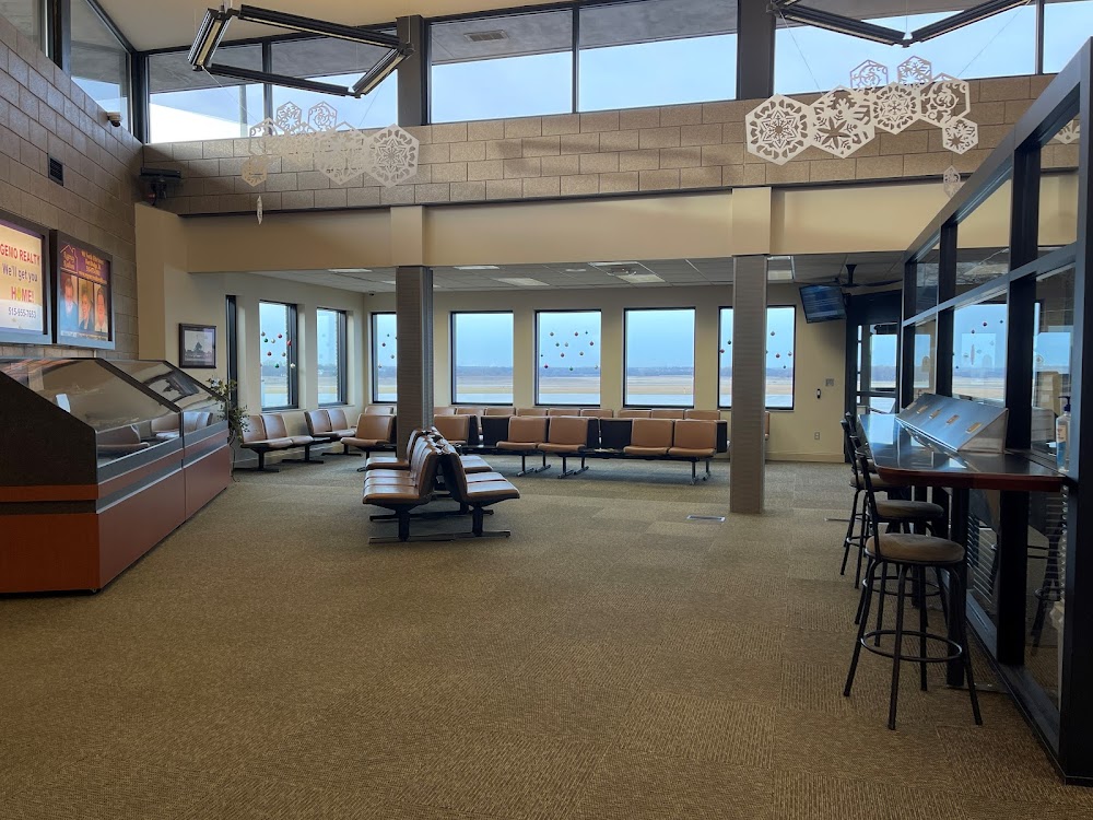
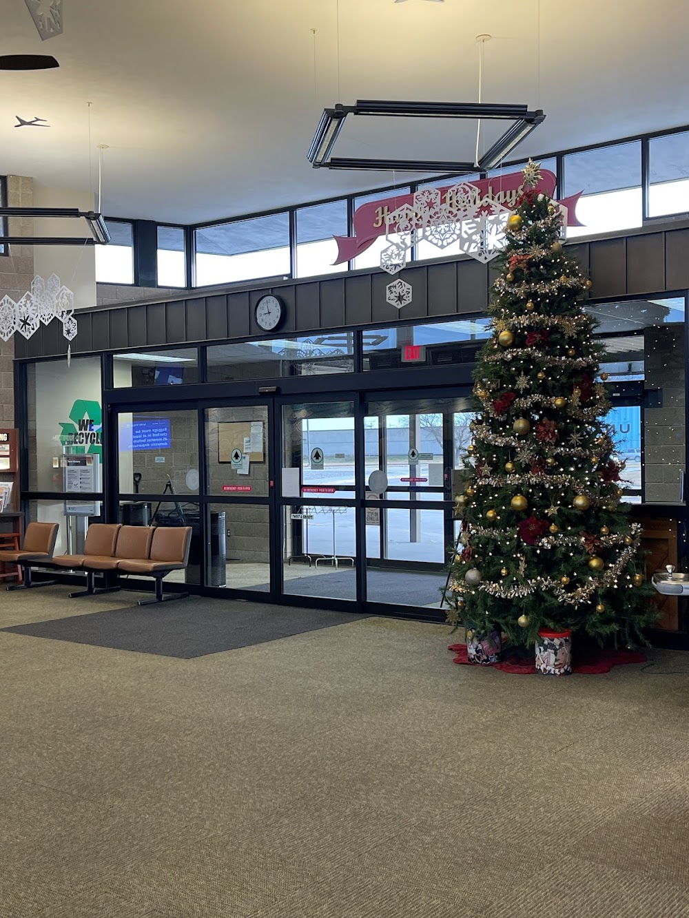
- Crew car availability
- Transient parking location
- General description
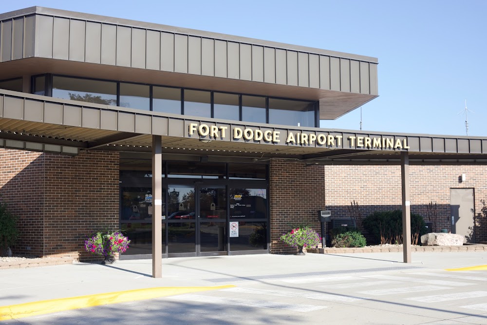
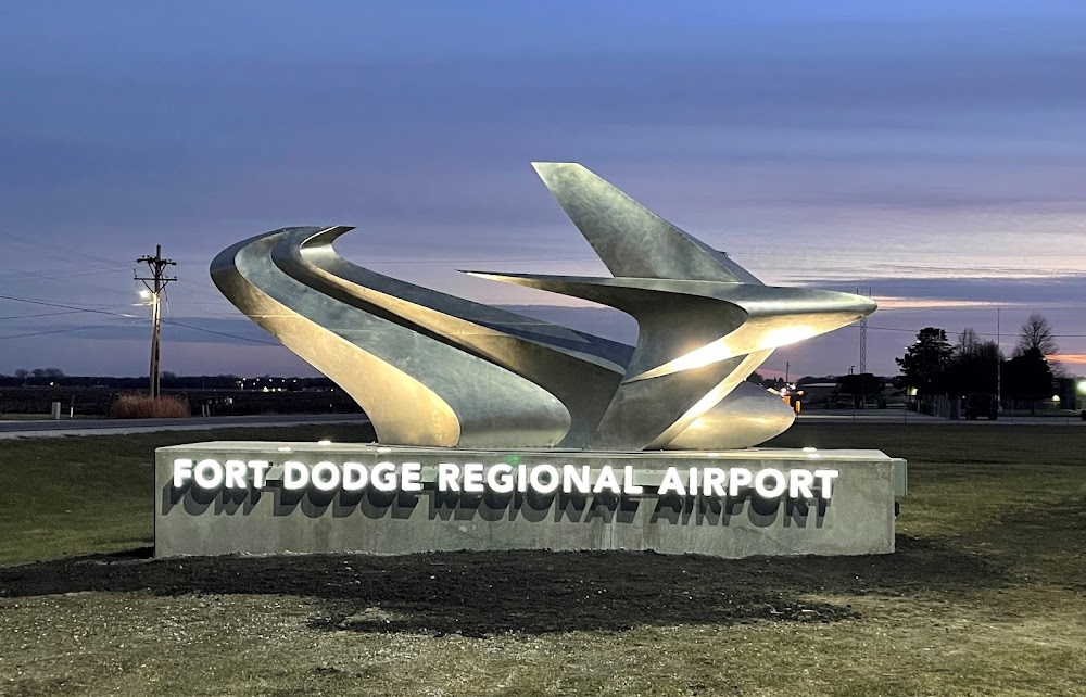
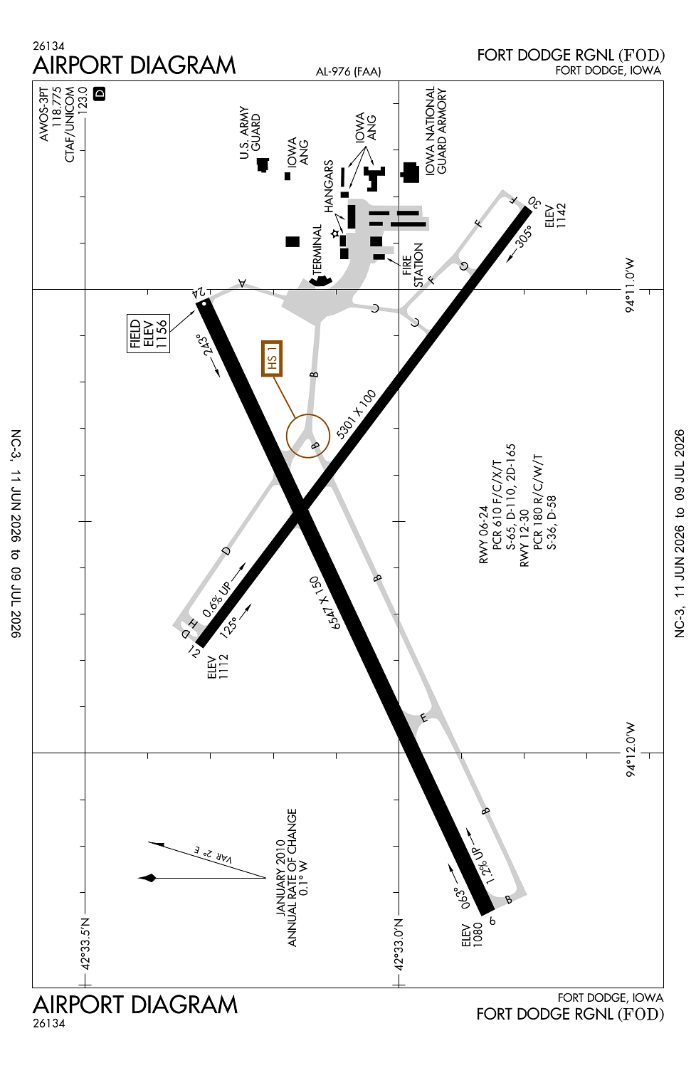
Location:
Fort Dodge, IA
Elevation:
1,156ft
Sectional:
Omaha
Activation date:
Oct 1952
Fuel:
100LL, A (prices)
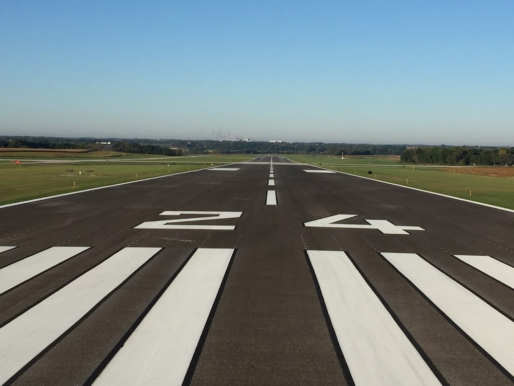
Runway 06/24:
6,547ft
Runway 12/30:
5,301ft
Access: Open to the public
Current Weather — VFR
-
Weather data is strictly informational and not for flight planning purposes.
-
METAR2026-07-21 09:56:00 CDT
Ceiling: Sky clear Wind: 340° @ 8kt, gusts 16kt Temperature: 71°F Dewpoint: 60°F Weather: N/A Visbility: 10SM Clouds: Scattered @ 2,900ft Raw:METAR KFOD 211456Z AUTO 34008G16KT 320V020 10SM SCT029 22/16 A2996 RMK AO2 SLP152 T02220156 51017 $ -
TAF2026-07-21 10:00:00 CDT – 2026-07-21 12:00:00 CDT
Ceiling: 2,500ft Wind: 340° @ 13kt, gusts 22kt Weather: N/A Visbility: 6SM Clouds: Broken @ 2,500ft Raw:TAF KFOD 211455Z 2115/2212 34013G22KT P6SM BKN025 FM211700 34013G22KT P6SM BKN040 FM220200 34006KT P6SM FEW250 -
TAF2026-07-21 12:00:00 CDT – 2026-07-21 21:00:00 CDT
Ceiling: 4,000ft Wind: 340° @ 13kt, gusts 22kt Weather: N/A Visbility: 6SM Clouds: Broken @ 4,000ft Raw:TAF KFOD 211455Z 2115/2212 34013G22KT P6SM BKN025 FM211700 34013G22KT P6SM BKN040 FM220200 34006KT P6SM FEW250 -
TAF2026-07-21 21:00:00 CDT – 2026-07-22 07:00:00 CDT
Ceiling: Sky clear Wind: 340° @ 6kt Weather: N/A Visbility: 6SM Clouds: Few @ 25,000ft Raw:TAF KFOD 211455Z 2115/2212 34013G22KT P6SM BKN025 FM211700 34013G22KT P6SM BKN040 FM220200 34006KT P6SM FEW250
Click/tap to add an annotation marker to the map
No webcams added yet.
Remarks
- Arff index b avbl ppr ctc arpt ops 712-541-5790.
- Acr opns involving acft with more than 9 passenger seats are not authorized in excess of 15 mins before or aft scheduled arr or dep times without prior coord with arpt management and/or arpt maint & confirmation that arff svcs are avbl prior to landing or takeoff.
- Ry 06 is calm wind ry.
- Sfc conds not montrd on wkends and btwn 1600-0500 mon-fri.
- For cd if una to ctc on fss freq, ctc minneapolis artcc at 651-463-5588.
Comments