Pirep is a free, collaborative database of all public and private airports. All pilots are welcome to contribute their local knowledge to any airport, no registration required.
Public
Undocumented
Edit Tags
No upcoming events. Is anything happening here soon?
Airport Statistics
- Local flying clubs
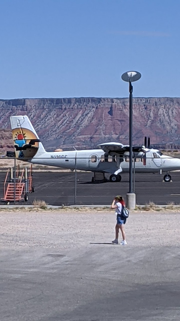
- Airport photos
- Airport map annotations
Location:
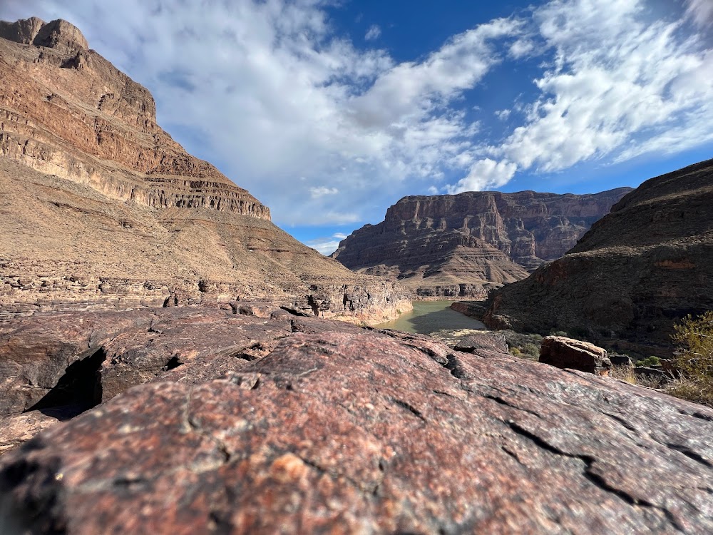
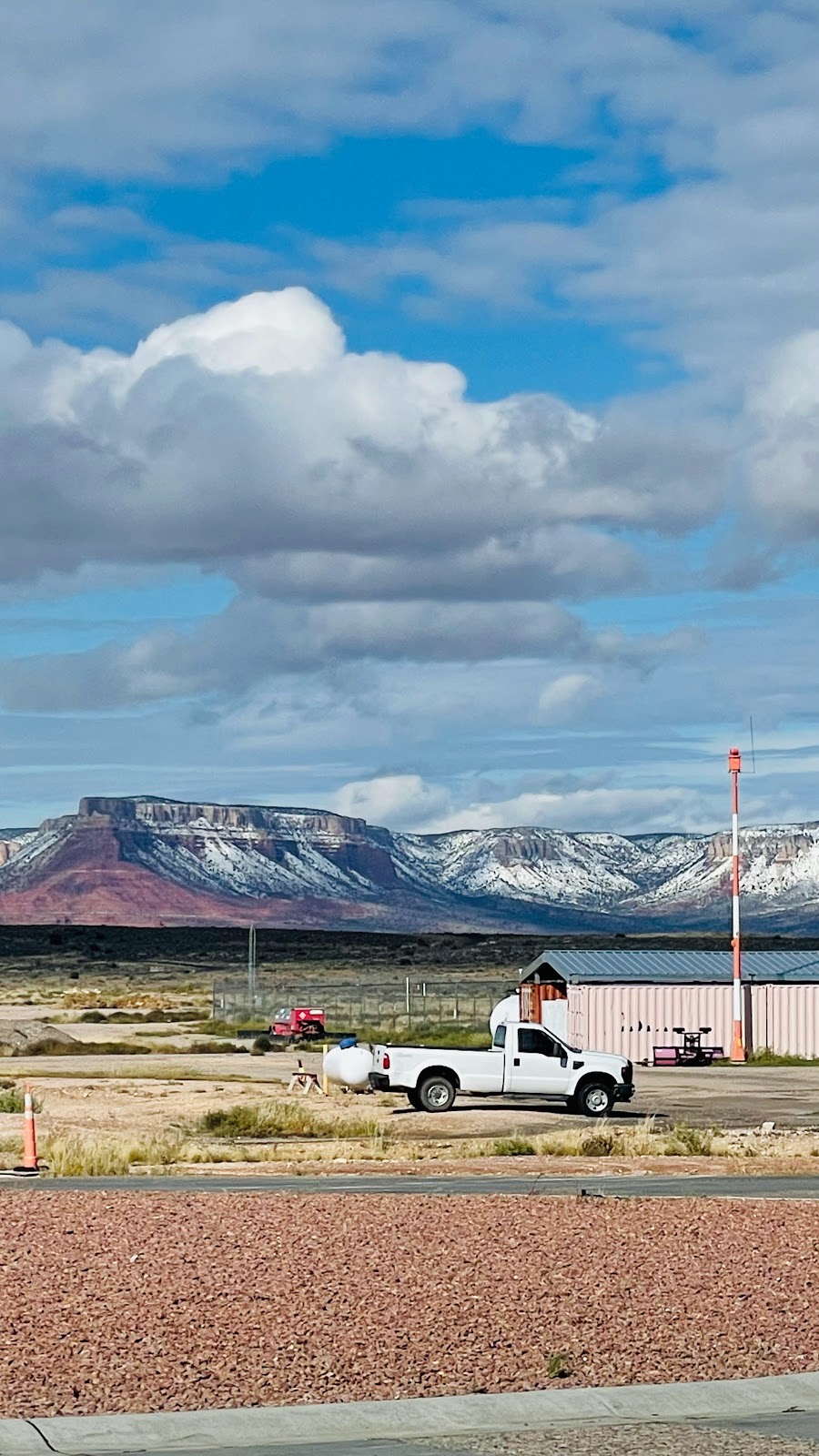
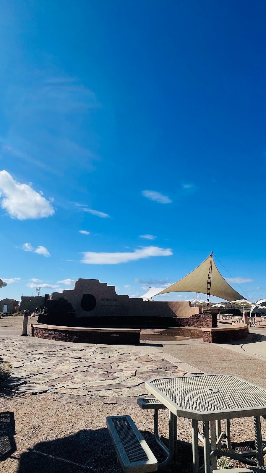
Peach Springs, AZ
Elevation:
4,816ft
Sectional:
Las Vegas
Activation date:
Oct 1988
Fuel:
None
Runway 17/35:
5,000ft
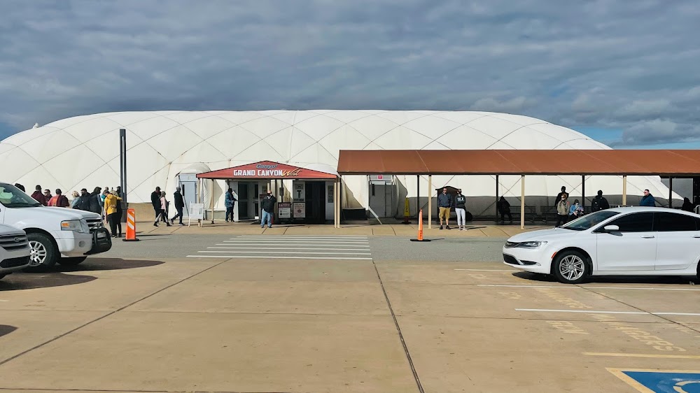
Access: Open to the public
Click/tap to add an annotation marker to the map
No webcams added yet.
Remarks
- Prvdd opns conducted during vfr conditions; sponsor ensure all opns adhere to the communications & coordination requirements for vfr tfc operating within & btn the boundaries of class e and class b airspace.
- Attn: due to proximity of grand canyon national park see sfar 50-2; particular attn to reg for ops blw 14500 ft msl.
- Practice tgl na.
- Calm winds recommend using rwy 35 for dept and rwy 17 for landing.
- Ctn: high speed fixed wing & rotary wing tfc in & invof arpt.
- Tsnt prkg s end of apron.
- For cd ctc los angeles artcc at 661-265-8205.
- Awos 928-237-1354
Comments