Pirep is a free, collaborative database of all public and private airports. All pilots are welcome to contribute their local knowledge to any airport, no registration required.
Public
Undocumented
Edit Tags
No upcoming events. Is anything happening here soon?
Airport Statistics
- Local flying clubs
- Webcam links
- General description
Location:
Searchlight, NV
Elevation:
3,413ft
Sectional:
Phoenix
Activation date:
Mar 1953
Fuel:
None
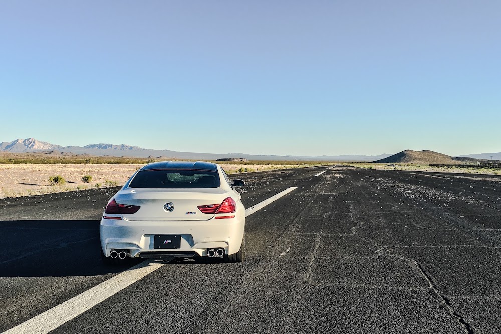
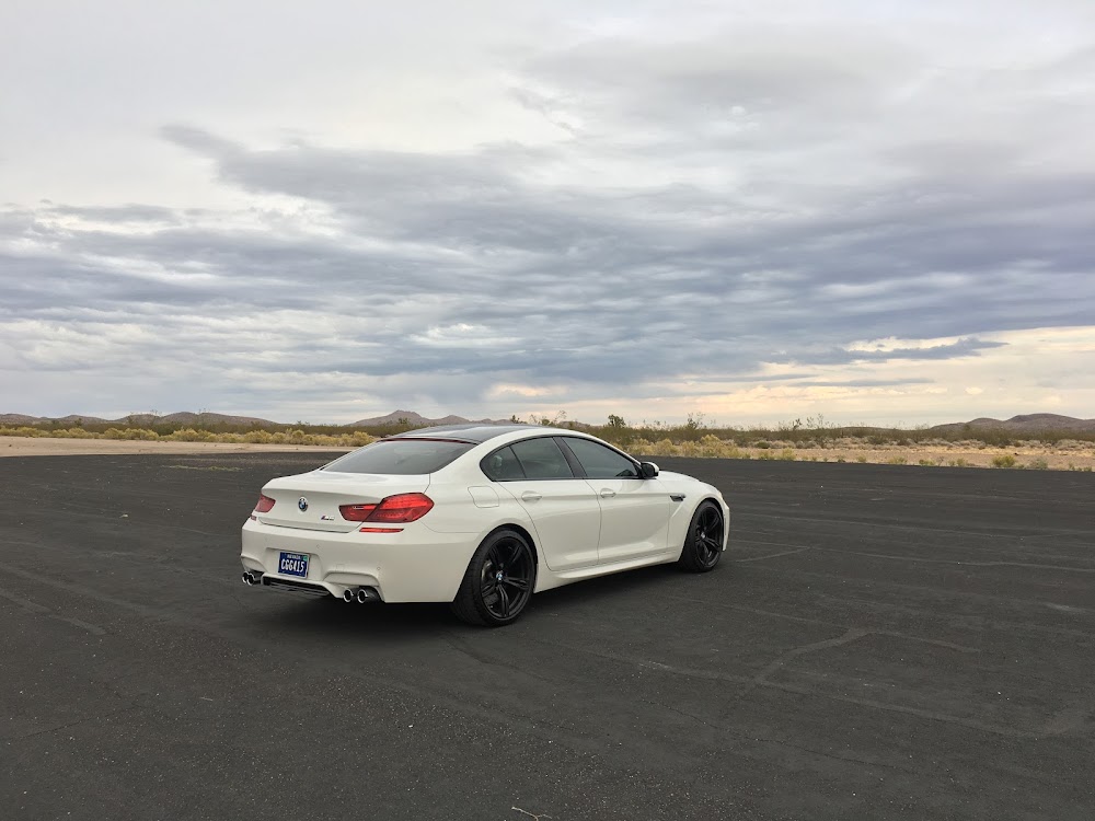
Runway 16/34:
5,040ft
Runway H1:
46ft
Runway H2:
46ft
Access: Open to the public
This airport is privately owned but open to the public.
Click/tap to add an annotation marker to the map
No webcams added yet.
Remarks
- Estabd prior to 15 may 1959. approved iaw asn 2020-awp-1742-nra.
- 3481 ft lgtd mtn sw.
- Unlgtd 165 ft pline 3.2 mi south of rwy.
- Trrn rises cnstnt rate n for 2 mi.
- Arpt cond not mntd - rwy clsd for repairs indefly.
- For cd ctc los angeles artcc at 661-575-2079.
- Ppr for pvt arpt area use or info - amgr.
- Rwy 16/34 clsd indefly.
Comments