Pirep is a free, collaborative database of all public and private airports. All pilots are welcome to contribute their local knowledge to any airport, no registration required.


Private
Undocumented
Edit Tags
No upcoming events. Is anything happening here soon?
Airport Statistics
- Webcam links
- WiFi availability
- Local flying clubs
Location:
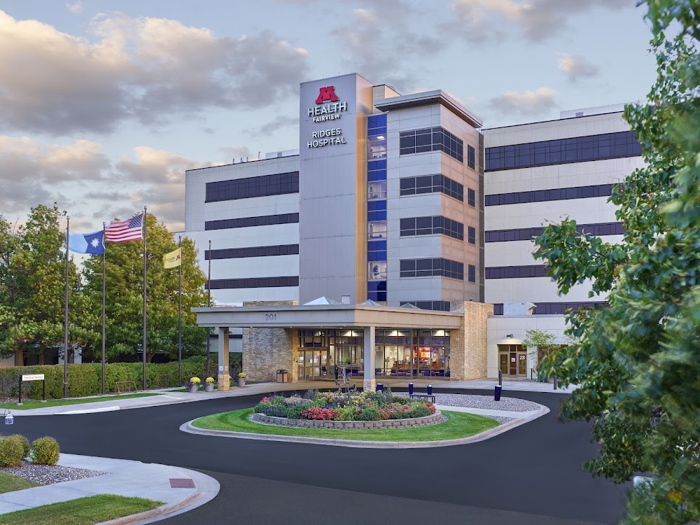
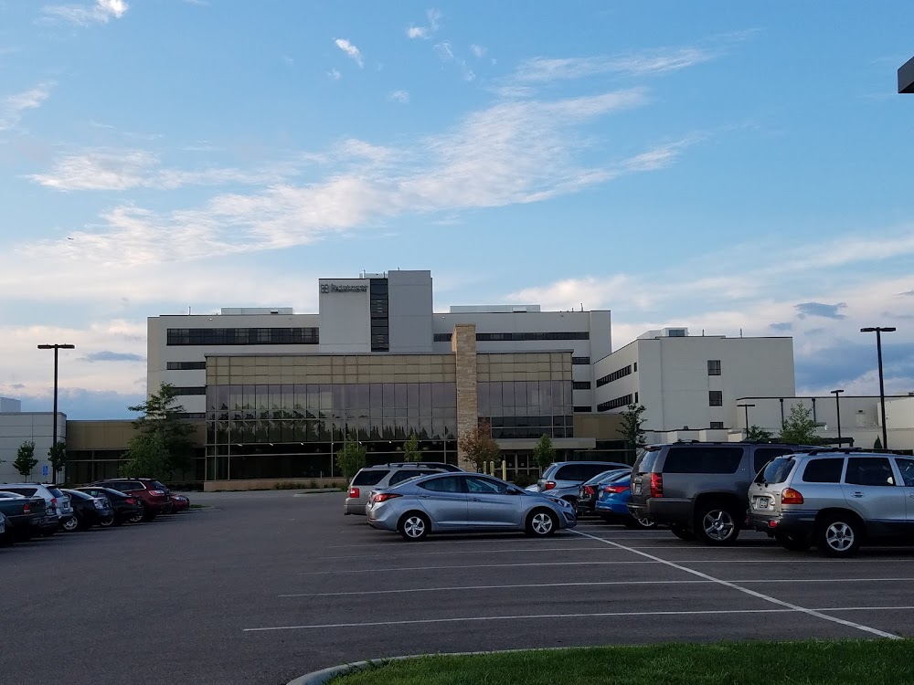
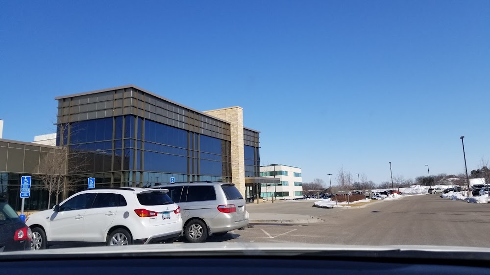
Burnsville, MN
Elevation:
1,050ft
Sectional:
Twin Cities
Activation date:
Apr 2017
Fuel:
None
Runway H1:
45ft
Access: Private to everyone
Is this airport privately owned but open to the public with or without restrictions? Or perhaps the owner is simply happy for pilots to stop by with prior permission?
Click/tap to add an annotation marker to the map
No webcams added yet.
Remarks
- We have determined that the proposed private use landing area, will not adversely affect the safe and efficient use of navigable airspace by aircraft, provided: 1. the proponent must meet all state and local requirement. 2. the landing area must be limited to private use only 3. all operations must be conducted visually. we recommend that because this is a private use heliport, all operators proceed at their own risk, and to enhance the safety of operations, we recommend: 1. all helicopter approach/departure route operations should be conducted on a 125 degree clockwise to 180 degree egress course / 305 degree clockwise to 000 degree ingress course using the center of the heliport as the reference point. helicopter operations may also be conducted on a 040 degree egress course i 220 degree ingress course, or on a 305 degree egress course / 125 degree ingress course using the center of the heliport as the reference point. 2. a wind indicator is maintained adjacent to the heliport, away from the approach and departure routes, and outside the safety area. 3. no night helicopter operations are conducted un less the heliport and wind indicator are lit in accordance with ac 150/5390-2c, paragraphs 415 and 41lc 4. the takeoff/landing area continues to be appropriately marked in accordance with ac 150/5390-2c, paragraph 414. 5. the heliport proponent will reexamine obstacles in the vicinity of the approach/departure paths on an annual ...
- For cd ctc minneapolis apch at 612-713-4016.
Comments