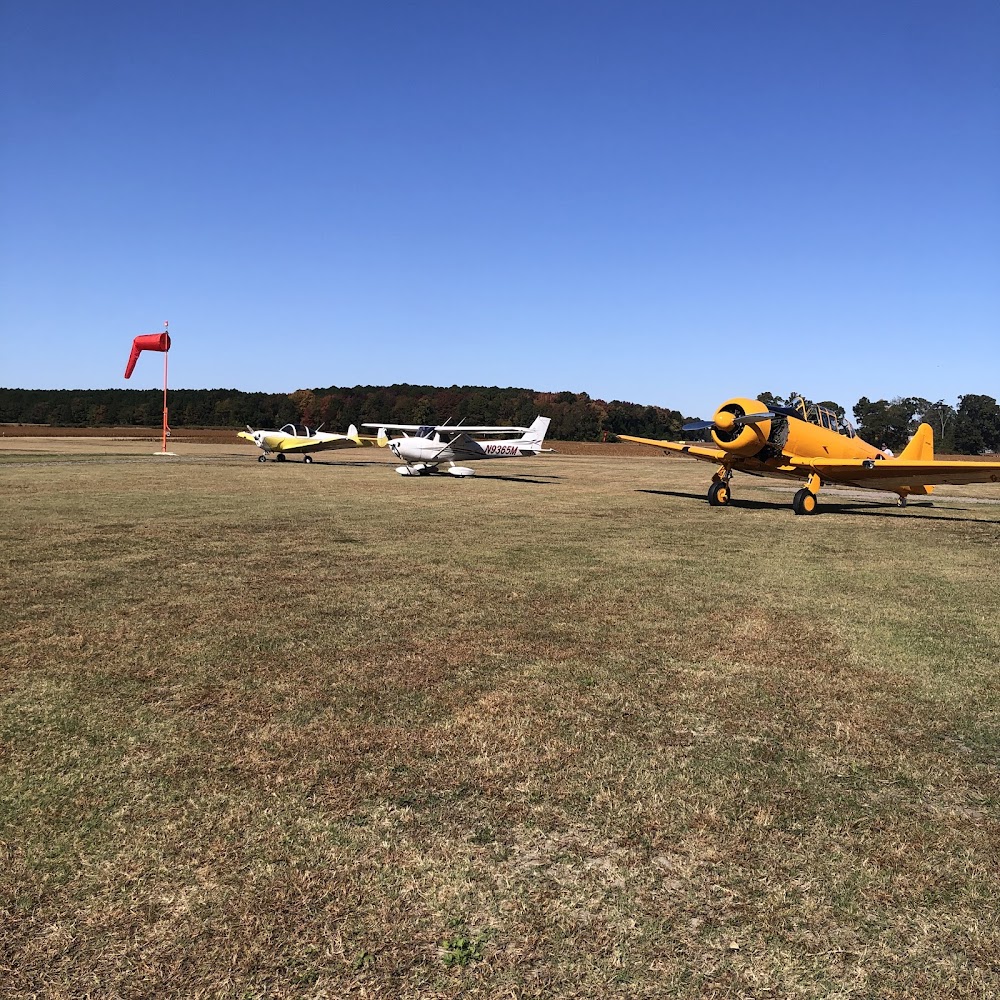
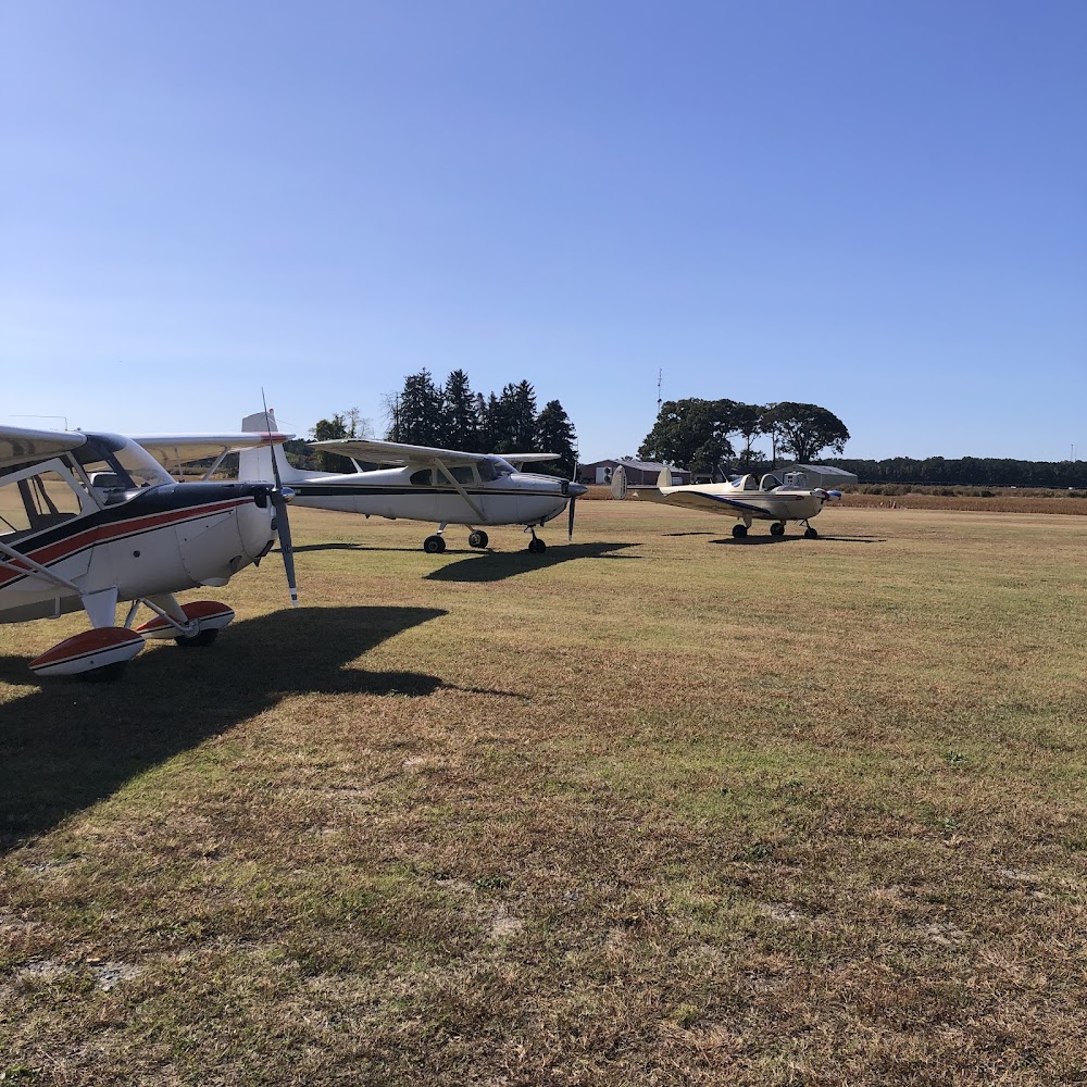
Pirep is a free, collaborative database of all public and private airports. All pilots are welcome to contribute their local knowledge to any airport, no registration required.
Public
Undocumented
Edit Tags
No upcoming events. Is anything happening here soon?
Airport Statistics
- General description
- Transient parking location
- Crew car availability
Location:
Salisbury, MD
Elevation:
46ft
Sectional:
Washington
Activation date:
Aug 1973
Fuel:
None
Runway 17/35:
3,171ft
Runway 08/26:
2,302ft
Access: Open to the public
This airport is privately owned but open to the public.
Click/tap to add an annotation marker to the map
No webcams added yet.
Remarks
- Dusk-2300. actvt bcn- ctaf.
- Ultralight act on & invof arpt.
- +375 ft lgtd ant 3200 ft l of rwy 35 thr on l downwind.
- Birds & wildlife on & invof arpt.
- For cd ctc patuxent apch at 301-342-3740, when patuxent apch is clsd ctc potomac apch at 866-640-4124.
- +70 ft trees mid-point both sides ry 17/35.
- Dusk-2300. actvt lirl rwy 17/35 - ctaf.
- +60 ft trees mid-point both sides of rwy.
Comments