Pirep is a free, collaborative database of all public and private airports. All pilots are welcome to contribute their local knowledge to any airport, no registration required.
No upcoming events. Is anything happening here soon?
Airport Statistics
- Local flying clubs
- Airport photos
- Webcam links
Location:
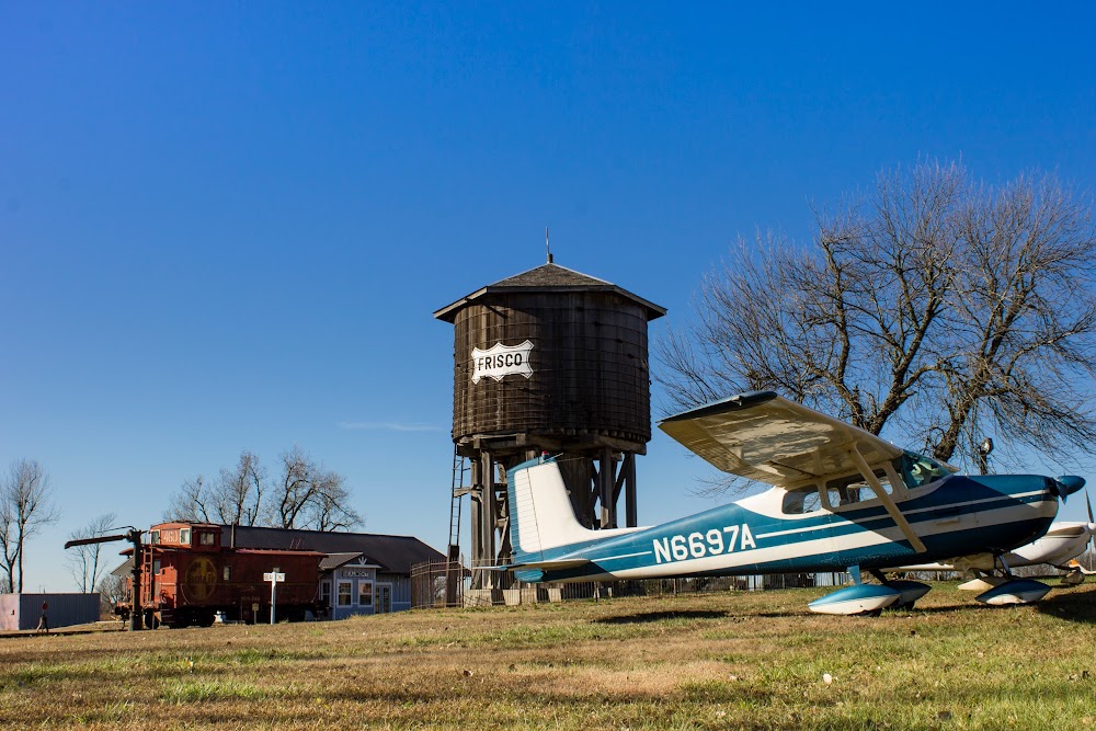
Ponca City, OK
Elevation:
1,008ft
Sectional:
Wichita
Activation date:
Nov 1938
Fuel:
100LL, A+ (prices)
Runway 17/35:
7,201ft
Access: Open to the public
Similar Airports


Current Weather — VFR
-
Weather data is strictly informational and not for flight planning purposes.
-
METAR2026-07-21 07:53:00 CDT
Ceiling: Sky clear Wind: Calm Temperature: 80°F Dewpoint: 73°F Weather: N/A Visbility: 10SM Raw:METAR KPNC 211253Z AUTO 00000KT 10SM CLR 27/23 A2989 RMK AO2 SLP107 T02720228 $ -
TAF2026-07-21 07:00:00 CDT – 2026-07-21 10:00:00 CDT
Ceiling: Sky clear Wind: 230° @ 4kt Weather: N/A Visbility: 6SM Clouds: @ ft Raw:TAF KPNC 211120Z 2112/2212 23004KT P6SM SKC FM211500 32006KT P6SM FEW080 FM211900 06011KT P6SM FEW080 FM220000 08007KT P6SM FEW250 -
TAF2026-07-21 10:00:00 CDT – 2026-07-21 14:00:00 CDT
Ceiling: Sky clear Wind: 320° @ 6kt Weather: N/A Visbility: 6SM Clouds: Few @ 8,000ft Raw:TAF KPNC 211120Z 2112/2212 23004KT P6SM SKC FM211500 32006KT P6SM FEW080 FM211900 06011KT P6SM FEW080 FM220000 08007KT P6SM FEW250 -
TAF2026-07-21 14:00:00 CDT – 2026-07-21 19:00:00 CDT
Ceiling: Sky clear Wind: 060° @ 11kt Weather: N/A Visbility: 6SM Clouds: Few @ 8,000ft Raw:TAF KPNC 211120Z 2112/2212 23004KT P6SM SKC FM211500 32006KT P6SM FEW080 FM211900 06011KT P6SM FEW080 FM220000 08007KT P6SM FEW250 -
TAF2026-07-21 19:00:00 CDT – 2026-07-22 07:00:00 CDT
Ceiling: Sky clear Wind: 080° @ 7kt Weather: N/A Visbility: 6SM Clouds: Few @ 25,000ft Raw:TAF KPNC 211120Z 2112/2212 23004KT P6SM SKC FM211500 32006KT P6SM FEW080 FM211900 06011KT P6SM FEW080 FM220000 08007KT P6SM FEW250
Click/tap to add an annotation marker to the map
No webcams added yet.
Remarks
- Established prior to 1958.
- Ultralights on & invof arpt.
- For cd if una to ctc on fss freq, ctc kansas city artcc at 913-254-8508.
- Actvt malsr rwy 17; odals rwy 35; hirl rwy 17/35 - ctaf. papi rwy 17 & 35 on consly.
- 100ll avbl 24 hrs; svc avbl 0700-dusk; otr times - 580-767-0429.
- North 2400 ft nstd plastic grooving entire width; 25 ft each edge remaining 4801 ft.
- Papi unusbl byd 8 degs right of cntrln.
Comments