Pirep is a free, collaborative database of all public and private airports. All pilots are welcome to contribute their local knowledge to any airport, no registration required.
Public
Undocumented
METAR / TAF
Edit Tags
No upcoming events. Is anything happening here soon?
Airport Statistics
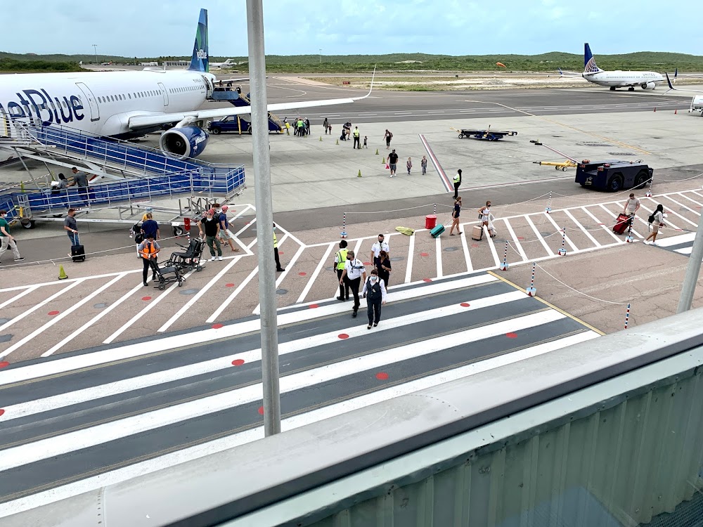
- Airport map annotations
- Local flying clubs
- General description
Access: Open to the public
Click/tap to add an annotation marker to the map
No webcams added yet.
Remarks
- As rqr
- Foreign civ govt. lndg fees and diplomatic clnc may be rqr.
- Bird and animal haz.
- Firefight equip: three foam tenders, each 7,585 gals water, 271 gals foam, 1,488 lbs dry chem avbl.
- Lcl ais brf on arpt all months, all days, 1100-0100z++ utc-5(-4dt). otr hrs on req.
- Prior arng only.
- Papi on left.
- Papi on left.
Comments