Pirep is a free, collaborative database of all public and private airports. All pilots are welcome to contribute their local knowledge to any airport, no registration required.


Public
Undocumented
METAR / TAF
Edit Tags
No upcoming events. Is anything happening here soon?
Airport Statistics
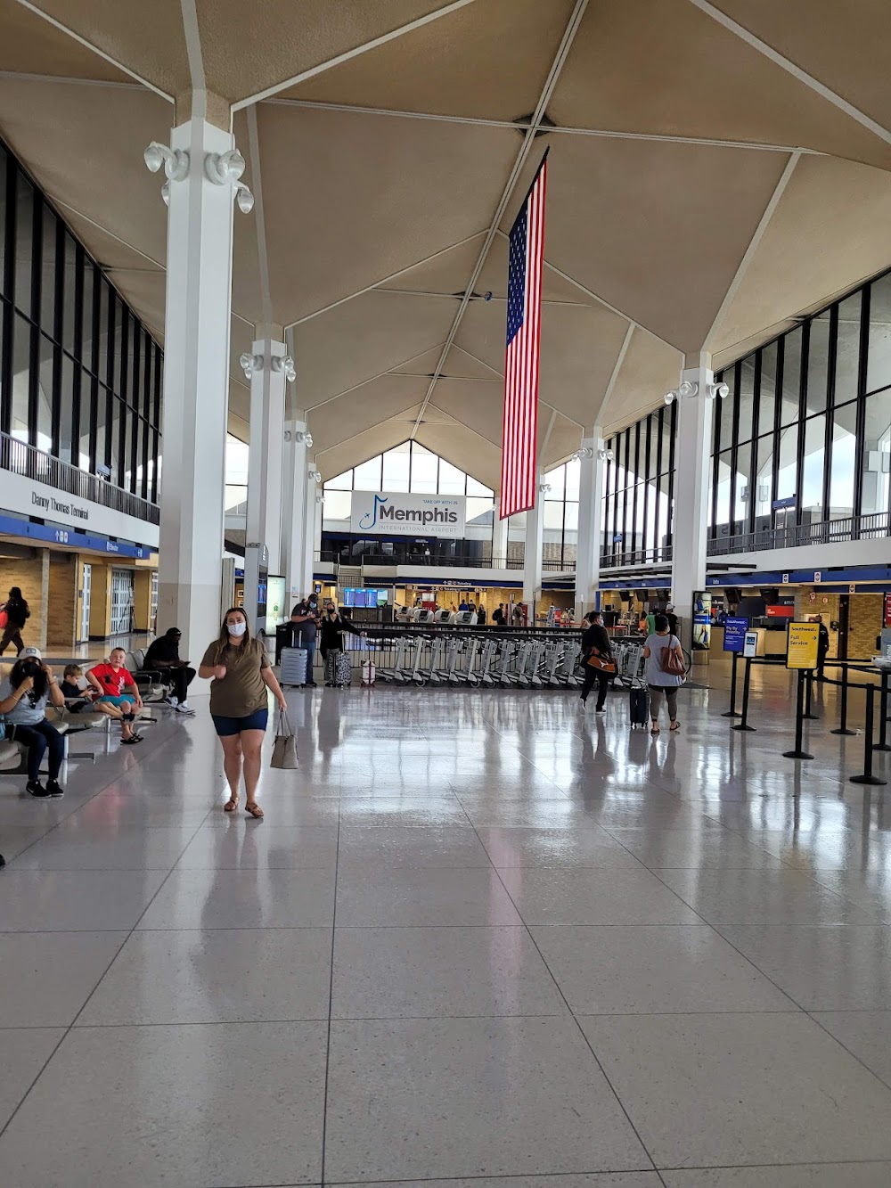
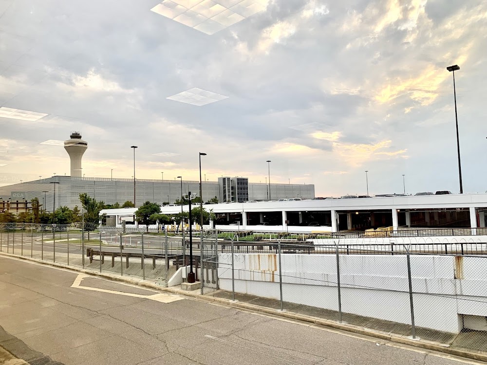
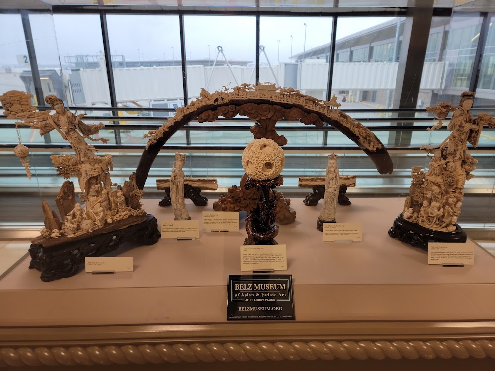
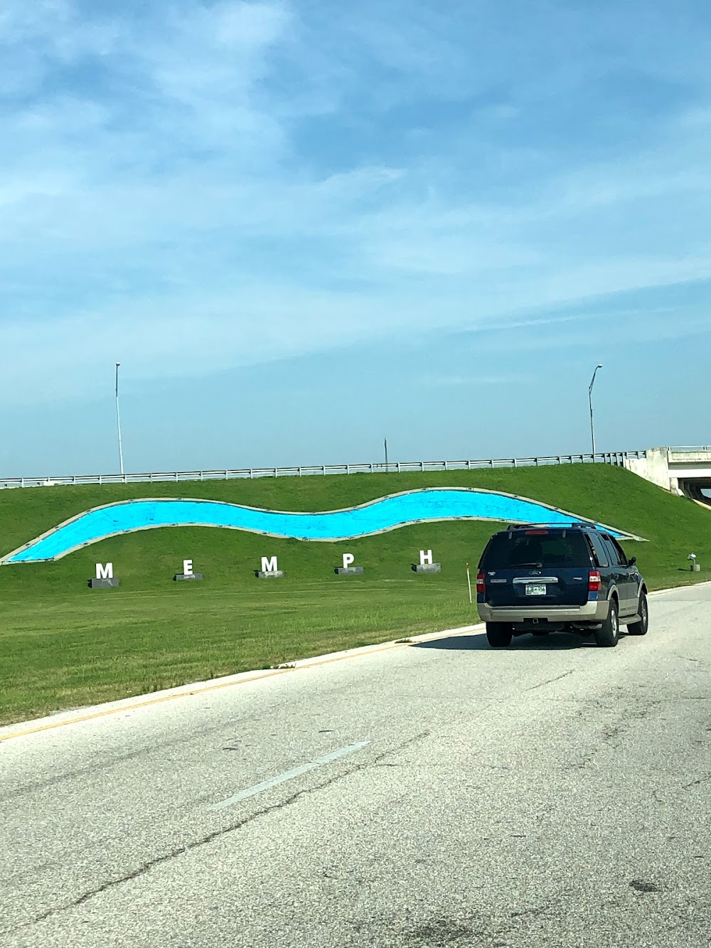
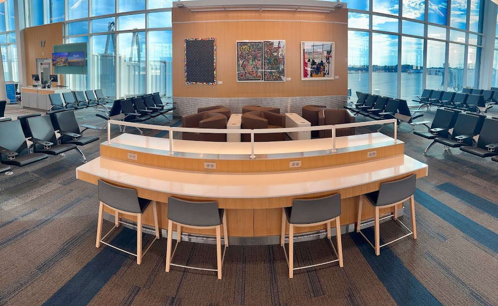
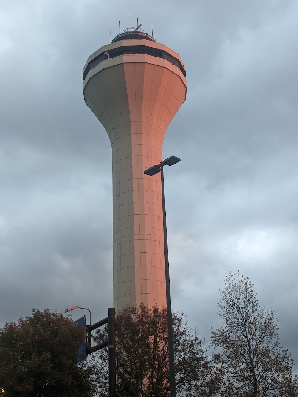
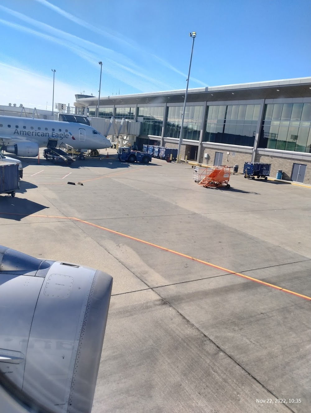
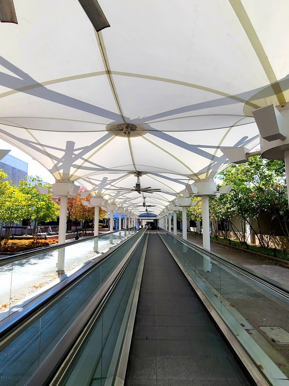
- Airport photos
- General description
- Local flying clubs
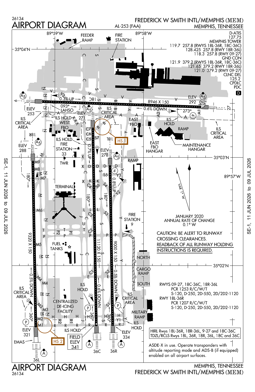
Location:
Memphis, TN
Elevation:
340ft
Sectional:
Memphis
Activation date:
Aug 1937
Fuel:
100LL, A, A+, A++ (prices)
Runway 18C/36C:
11,120ft
Runway 18R/36L:
9,320ft
Runway 18L/36R:
9,000ft
Runway 09/27:
8,946ft
Access: Open to the public
Current Weather — VFR
-
Weather data is strictly informational and not for flight planning purposes.
-
METAR2026-07-15 21:54:00 CDT
Ceiling: 4,200ft Wind: 270° @ 3kt Temperature: 78°F Dewpoint: 73°F Weather: N/A Visbility: 10SM Clouds: Few @ 800ft, Scattered @ 3,000ft, Broken @ 4,200ft, Broken @ 25,000ft Raw:METAR KMEM 160254Z 27003KT 10SM FEW008 SCT030 BKN042 BKN250 26/23 A3005 RMK AO2 SLP172 60000 T02560233 53010 $ -
TAF2026-07-15 22:00:00 CDT – 2026-07-16 07:00:00 CDT
Ceiling: 12,000ft Wind: 210° @ 3kt Weather: N/A Visbility: 6SM Clouds: Scattered @ 4,500ft, Broken @ 12,000ft Raw:TAF KMEM 160250Z 1603/1706 21003KT P6SM SCT045 BKN120 FM161200 23004KT P6SM BKN015 FM161500 25005KT P6SM BKN027 FM161700 26010KT P6SM BKN045 FM170000 24005KT P6SM FEW050 -
TAF2026-07-16 07:00:00 CDT – 2026-07-16 10:00:00 CDT
Ceiling: 1,500ft Wind: 230° @ 4kt Weather: N/A Visbility: 6SM Clouds: Broken @ 1,500ft Raw:TAF KMEM 160250Z 1603/1706 21003KT P6SM SCT045 BKN120 FM161200 23004KT P6SM BKN015 FM161500 25005KT P6SM BKN027 FM161700 26010KT P6SM BKN045 FM170000 24005KT P6SM FEW050 -
TAF2026-07-16 10:00:00 CDT – 2026-07-16 12:00:00 CDT
Ceiling: 2,700ft Wind: 250° @ 5kt Weather: N/A Visbility: 6SM Clouds: Broken @ 2,700ft Raw:TAF KMEM 160250Z 1603/1706 21003KT P6SM SCT045 BKN120 FM161200 23004KT P6SM BKN015 FM161500 25005KT P6SM BKN027 FM161700 26010KT P6SM BKN045 FM170000 24005KT P6SM FEW050 -
TAF2026-07-16 12:00:00 CDT – 2026-07-16 19:00:00 CDT
Ceiling: 4,500ft Wind: 260° @ 10kt Weather: N/A Visbility: 6SM Clouds: Broken @ 4,500ft Raw:TAF KMEM 160250Z 1603/1706 21003KT P6SM SCT045 BKN120 FM161200 23004KT P6SM BKN015 FM161500 25005KT P6SM BKN027 FM161700 26010KT P6SM BKN045 FM170000 24005KT P6SM FEW050 -
TAF2026-07-16 19:00:00 CDT – 2026-07-17 01:00:00 CDT
Ceiling: Sky clear Wind: 240° @ 5kt Weather: N/A Visbility: 6SM Clouds: Few @ 5,000ft Raw:TAF KMEM 160250Z 1603/1706 21003KT P6SM SCT045 BKN120 FM161200 23004KT P6SM BKN015 FM161500 25005KT P6SM BKN027 FM161700 26010KT P6SM BKN045 FM170000 24005KT P6SM FEW050
Click/tap to add an annotation marker to the map
No webcams added yet.
Remarks
- Index d arff equip h24.
- Ang ramp offl bus only; ppr - v966-8131. tsnt acft rqr follow me assist entering ang ramp.
- Heli ops to/fm trml bldg na.
- Birds invof arpt.
- Twy n north of twy v, twy c north of twy v, twy s north of twy v and twy v west of twy n designated as non-movement areas.
Comments