Pirep is a free, collaborative database of all public and private airports. All pilots are welcome to contribute their local knowledge to any airport, no registration required.


Public
Undocumented
Edit Tags
No upcoming events. Is anything happening here soon?
Airport Statistics
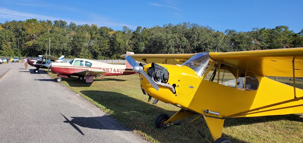
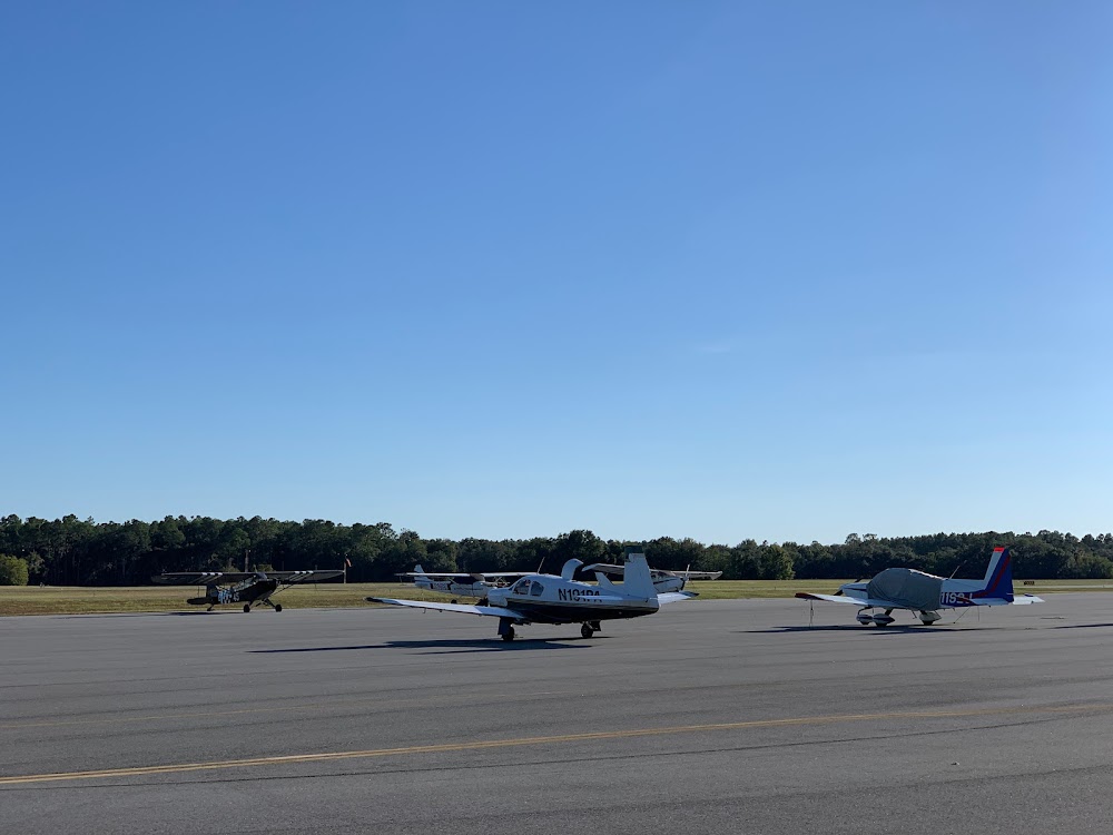
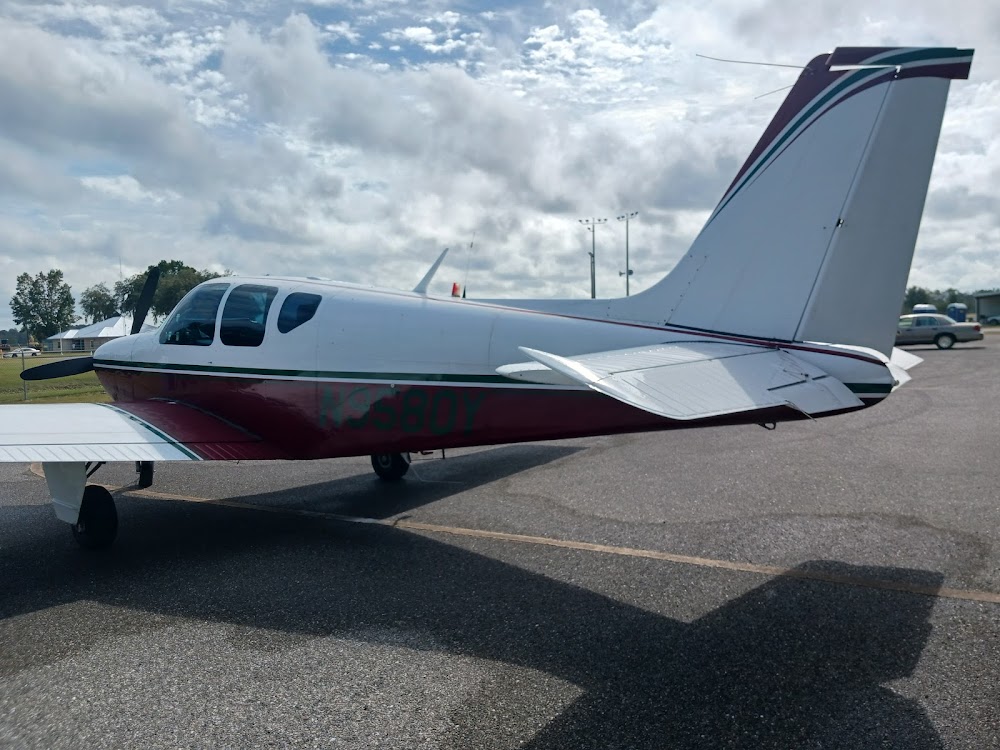
- Airport photos
- Local flying clubs
- Crew car availability
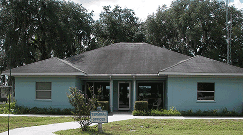
Location:
Live Oak, FL
Elevation:
103ft
Sectional:
Jacksonville
Activation date:
Jul 1965
Fuel:
100LL, A, A+ (prices)
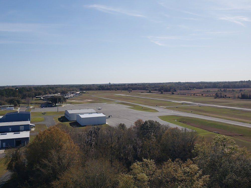
Runway 07/25:
4,005ft
Access: Open to the public
Click/tap to add an annotation marker to the map
No webcams added yet.
Remarks
- Vfr ops only.
- For cd ctc jacksonville artcc at 904-845-1592.
- Actvt reil rwy 07 & 25; papi rwy 07 & 25; mirl rwy 07/25 - ctaf.
- Tpa: 1197 ft agl prop, 1697 ft agl tbjt.
- Apch slope 21:1 due to 63 ft trees 1515 fm rwy end 30 ft l.
- Apch slope 30:1 due to 46 ft trees 1580 ft fm rwy end l & r.
- Ctc: jason furry
- 24 hr ppr for acft equipped with weather modification or geoengineering eqpt 386-368-4200.
Comments