Pirep is a free, collaborative database of all public and private airports. All pilots are welcome to contribute their local knowledge to any airport, no registration required.

Public
Undocumented
Edit Tags
No upcoming events. Is anything happening here soon?
Airport Statistics
- Tags
- Webcam links
- General description
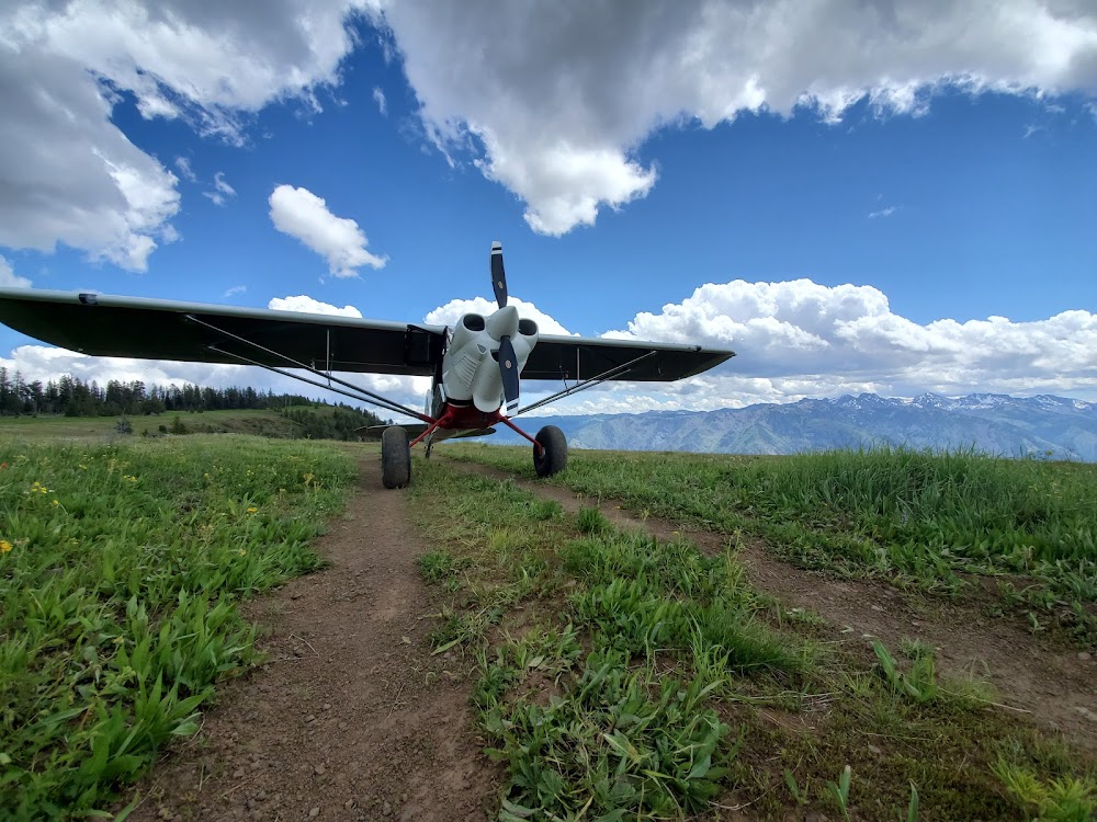
Location:
Imnaha, OR
Elevation:
6,708ft
Sectional:
Great Falls
Activation date:
Nov 1949
Fuel:
None
Runway 17/35:
3,300ft
Access: Open to the public
Click/tap to add an annotation marker to the map
No webcams added yet.
Remarks
- Estabd prior to 1959.
- Clsd winters
- Early spring: damp soft spot on north end of rwy; land long to south.
- Ry 35 expect downdrafts on short final due to sheer drop in terrain.
- Livestock and wildlife on & invof arpt.
- Ry 17 slopes up 2.5 % to south.
- No line of sight btn ry ends.
- Ry 35 has 9 inch berm along l shoulder 500 ft.
Comments