Pirep is a free, collaborative database of all public and private airports. All pilots are welcome to contribute their local knowledge to any airport, no registration required.
Public
Undocumented
Edit Tags
No upcoming events. Is anything happening here soon?
Airport Statistics
- Airport map annotations
- Local flying clubs
- Landing & tie-down fees
Location:
Indian Trail, NC
Elevation:
565ft
Sectional:
Charlotte
Activation date:
Jan 1970
Fuel:
None
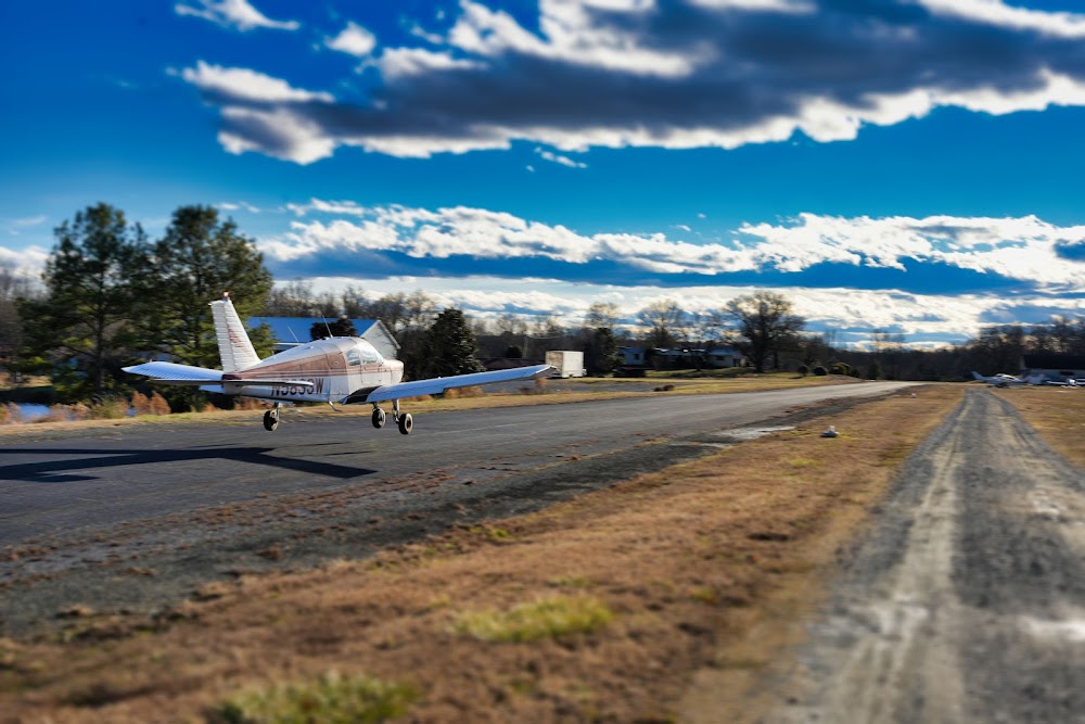
Runway 04/22:
2,350ft
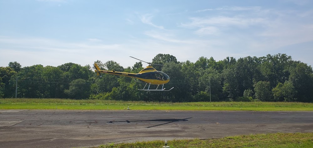
Access: Open to the public
This airport is privately owned but open to the public.
Click/tap to add an annotation marker to the map
No webcams added yet.
Remarks
- 980-875-0114.
- Vfr ops only.
- Birds and wildlife on and invof arpt.
- Rwy safety area has potentially hazardous depressions and humps.
- Nmrs obstn (trees, bldgs, vehicles, parked acft & landscape poles) in pri sfc 65 ft from rwy cntrln.
- Numerous unmarked & unlgtd obstn in both approaches.
- Rwy 04/22 - first 400 ft sw end unlgtd.
- Rwy 04/22 has 15 ft drop-off 50 ft fm cntrln on se side at midfield.
Comments