Pirep is a free, collaborative database of all public and private airports. All pilots are welcome to contribute their local knowledge to any airport, no registration required.
Public
Undocumented
Edit Tags
No upcoming events. Is anything happening here soon?
Airport Statistics
- Landing & tie-down fees
- Transient parking location
- Tags
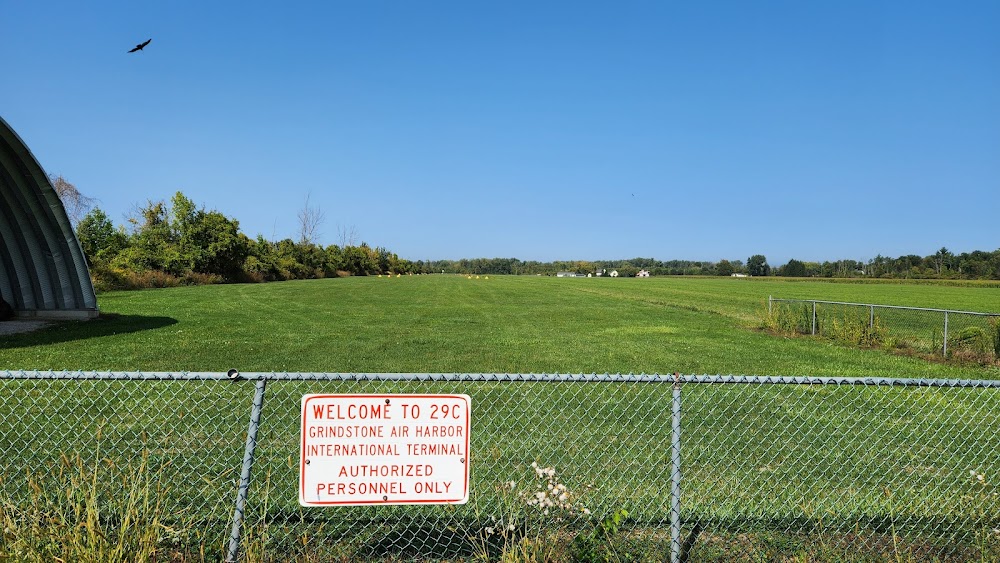
Location:
Port Austin, MI
Elevation:
640ft
Sectional:
Lake Huron
Activation date:
Nov 1996
Fuel:
None
Runway 18/36:
1,800ft
Access: Open to the public
This airport is privately owned but open to the public.
Click/tap to add an annotation marker to the map
No webcams added yet.
Remarks
- Man-made or natural objects exist wi the asp needed to ensure safety in the tkof/ldg of acft.
- Rwy 36, 25 ft power line, 720 ft south of rwy. apch ratio 28:1.
- Rwy 18, 27 ft power line, 570 ft n of rwy, apch ratio 21:1
- For cd ctc minneapolis artcc at 651-463-5588.
- Deer & lrg birds on & invof arpt.
- Ctlg obstn exceeds a 45 deg slp. apch ratio 16:1 to thr ovr +76 ft tree, 1244 ft dist, 42 ft l. apch ratio 20:1 ovr 27 ft pline, 570 ft dist, 125 ft l/r.
- Ctlg obstn exceeds a 45 deg slp. apch ratio 20:1 ovr 25 ft pline, 720 ft dist, 125 ft l/r.
Comments