Pirep is a free, collaborative database of all public and private airports. All pilots are welcome to contribute their local knowledge to any airport, no registration required.
Sadly, this airport is reportedly closed based on it being removed from the FAA's database.


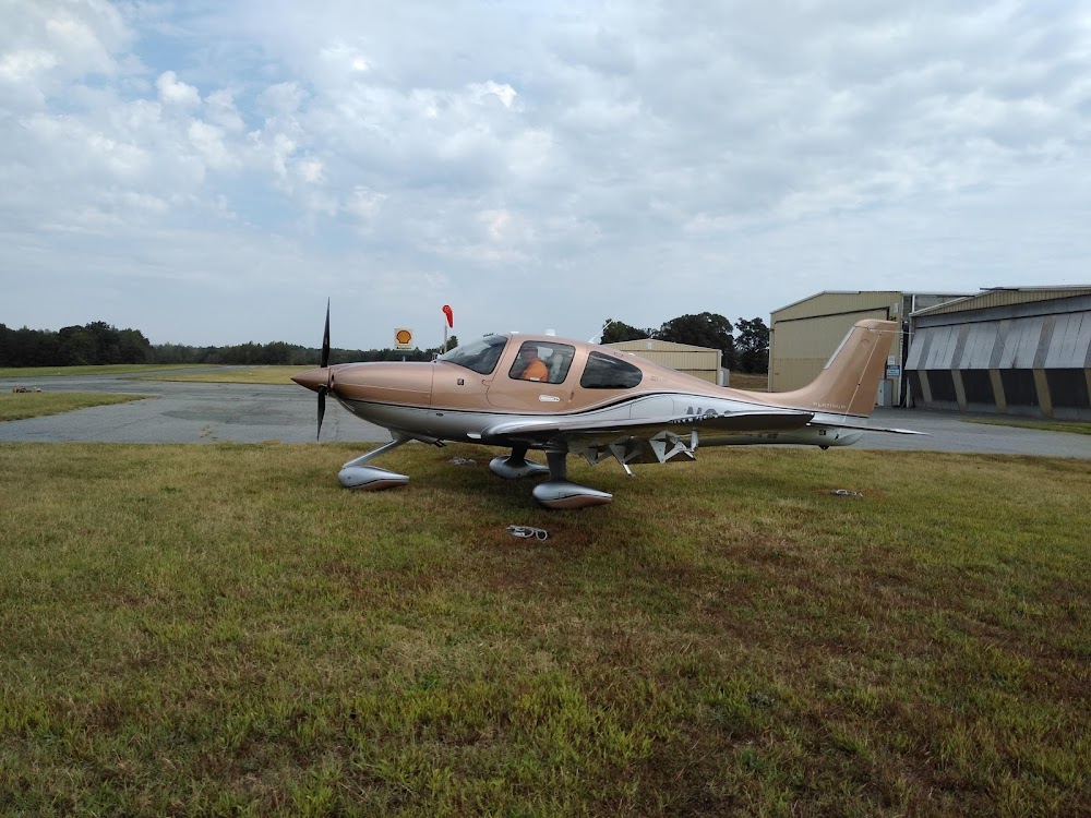

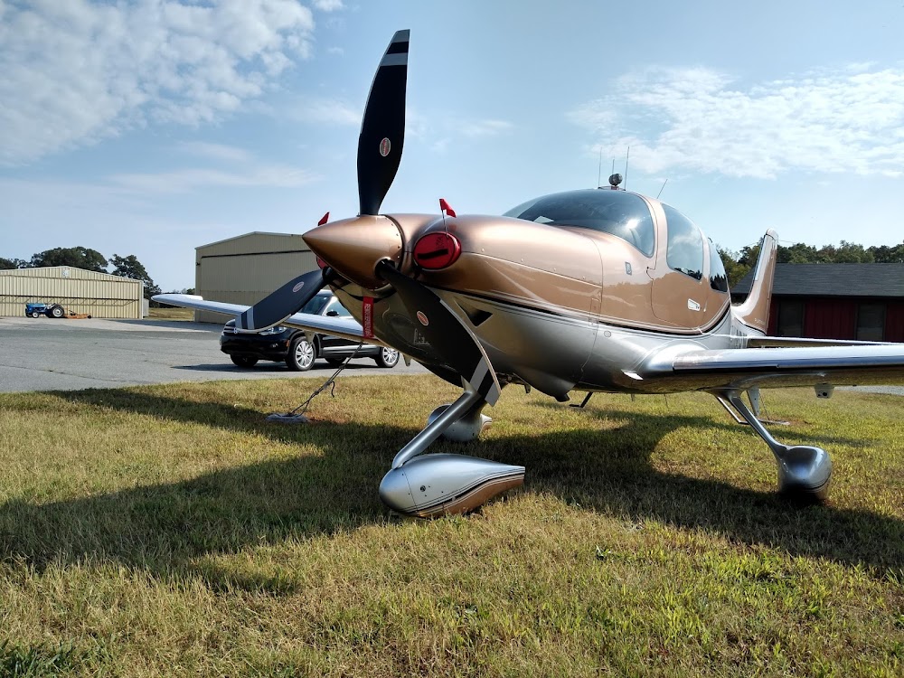
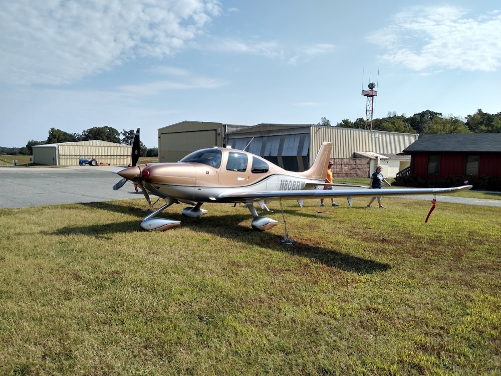


Private
Undocumented
Closed
Edit Tags
No upcoming events. Is anything happening here soon?
Airport Statistics
- WiFi availability
- General description
- Local flying clubs
Location:
Liberty, NC
Elevation:
723ft
Sectional:
Charlotte
Closed date:
Jan 2023
Fuel:
100LL, A1+ (prices)
Runway 02/20:
3,800ft
Access: Private to everyone
Is this airport privately owned but open to the public with or without restrictions? Or perhaps the owner is simply happy for pilots to stop by with prior permission?
Click/tap to add an annotation marker to the map
No webcams added yet.
Remarks
- Bldg and parked acft within 90 ft of cntrln at north end of rwy.
- Soft dirt all rwy edges; exit ramp & twy.
- Fuel tank lctd 500 ft from rwy 20 thr & 125 ft left.
- For cd ctc greensboro apch at 743-222-6129.
- Rwy 02 has 40 ft drop-off 75 ft fm thr and 20 ft drop-off 50 ft left and right of cntrln.
- Exer ctn with ngt ldgs due to non-std lgt end lgt not at rwy thr.
- Seasonal farming opns, eqpt and hay bales invof rwy.
- Unatndd sat, sun, new years day, easter, july 4th, thanksgiving, & christmas.
Comments