Pirep is a free, collaborative database of all public and private airports. All pilots are welcome to contribute their local knowledge to any airport, no registration required.

Public
Undocumented
METAR / TAF
Edit Tags
No upcoming events. Is anything happening here soon?
Airport Statistics
- Transient parking location
- General description
- Airport photos
Location:
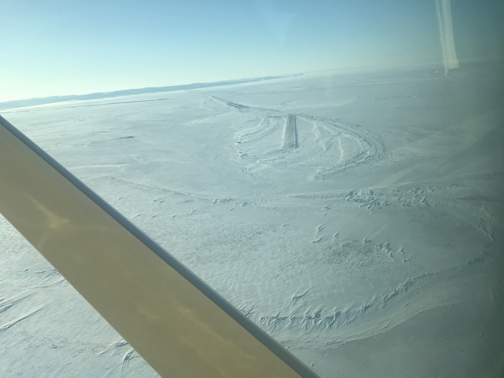
Shaktoolik, AK
Elevation:
24ft
Sectional:
Nome
Activation date:
Jul 2002
Fuel:
None
Runway 15/33:
4,001ft
Access: Open to the public
Current Weather — VFR
-
Weather data is strictly informational and not for flight planning purposes.
-
METAR2026-07-21 00:56:00 AKDT
Ceiling: 9,000ft Wind: 090° @ 7kt Temperature: 53°F Dewpoint: 48°F Weather: N/A Visbility: 10SM Clouds: Overcast @ 9,000ft Raw:METAR PFSH 210856Z AUTO 09007KT 10SM OVC090 12/09 A2992 RMK AO2 SLP132 T01170094 401670106 53000 $
Click/tap to add an annotation marker to the map
No webcams added yet.
Remarks
- This airport has been surveyed by the national geodetic survey.
- Mnt dalgt hrs by lcl airline; response n/a to non-sked.
- Rwy cond unmnt; rcmd visual insp bfr lndg.
- Ctn: clsd abndd rwy unmkd.
- Wx camera avbl on internet at https://weathercams.faa.gov
- Actvt reil rwy 33; papi rwy 33; mirl rwy 15/33 - ctaf.
- Lgts & cones.
- Ponding & slippery when wet.
Comments