Pirep is a free, collaborative database of all public and private airports. All pilots are welcome to contribute their local knowledge to any airport, no registration required.
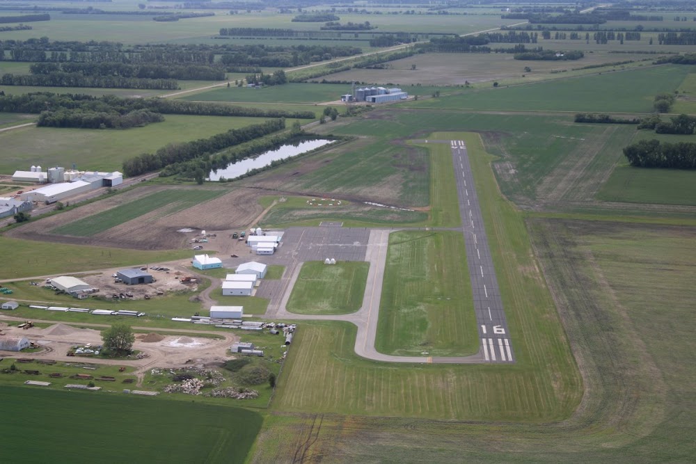
Public
Undocumented
Edit Tags
No upcoming events. Is anything happening here soon?
Airport Statistics
- Fuel pump location
- Airport map annotations
- Crew car availability
Location:
Cavalier, ND
Elevation:
892ft
Sectional:
Twin Cities
Activation date:
Oct 1948
Fuel:
100LL, A
Runway 16/34:
3,299ft
Access: Open to the public
Click/tap to add an annotation marker to the map
No webcams added yet.
Remarks
- Call 701-520-3055.
- Existed prior to 1959.
- Helipad located south edge of apron.
- Cfm snow removal with amgr aft wint storm.
- Ry 34 +31' pline 1300' fm thld on cl; apch ratio 35:1.
- Ry 16 +45' marked pline 1920' fm thld on cl; apch ratio 38:1.
- For cd ctc minneapolis artcc at 651-463-5588.
- Actvt reil rwy 34; papi rwy 16 & 34; mirl rwy 16/34 - ctaf.
Comments