Pirep is a free, collaborative database of all public and private airports. All pilots are welcome to contribute their local knowledge to any airport, no registration required.


Public
Undocumented
Edit Tags
No upcoming events. Is anything happening here soon?
Airport Statistics
- Tags
- Landing & tie-down fees
- Airport photos
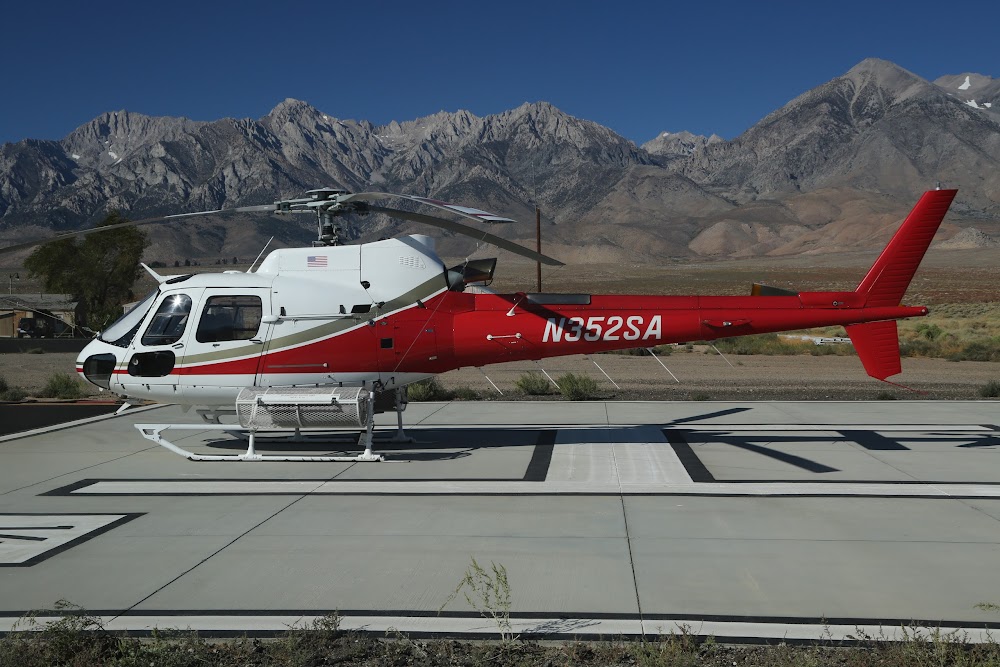
Location:
Independence, CA
Elevation:
3,908ft
Sectional:
San Francisco
Activation date:
Apr 1940
Fuel:
None
Runway 14/32:
3,533ft
Runway 05/23:
1,498ft
Access: Open to the public
Click/tap to add an annotation marker to the map
No webcams added yet.
Remarks
- Estabd prior 5/15/59.
- For cd ctc joshua apch at 661-277-3843.
- Rwy 5/23 undulating uneven dirt sfc. brush in sporadic locations on rwy.
- Rwy 5/23 clsd for public use.
- Rwy 5/23 unsafe for acft.
- Actvt mirl ry 14/32 - ctaf.
- Tfc pat indicators for rwy 14/32 only.
- Director of public works inyo county.
Comments