Pirep is a free, collaborative database of all public and private airports. All pilots are welcome to contribute their local knowledge to any airport, no registration required.

Public
Undocumented
METAR / TAF
Edit Tags
No upcoming events. Is anything happening here soon?
Airport Statistics
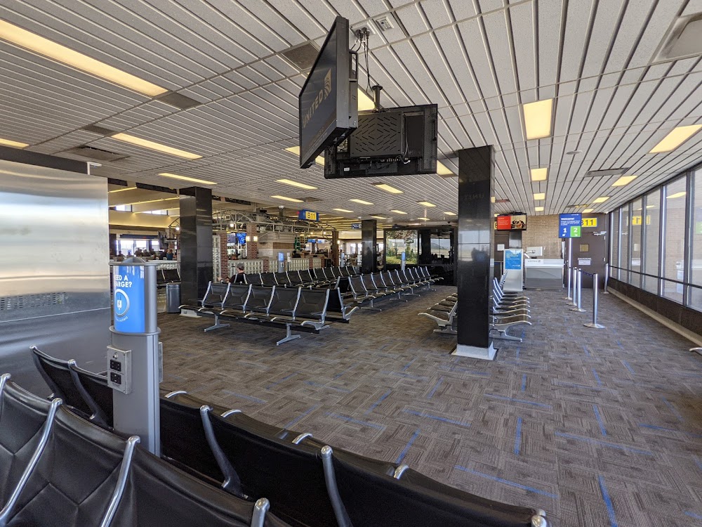
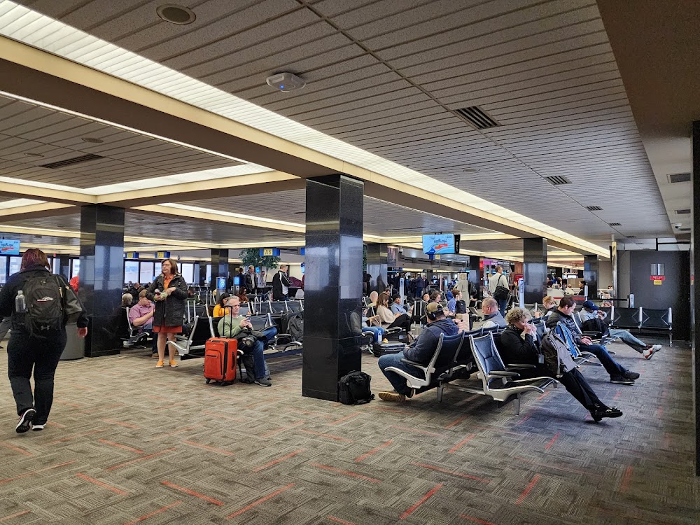
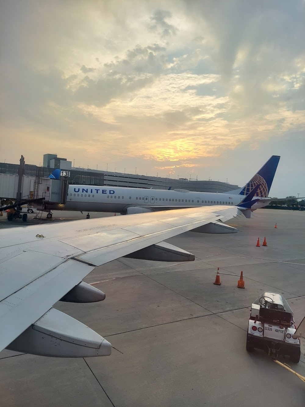
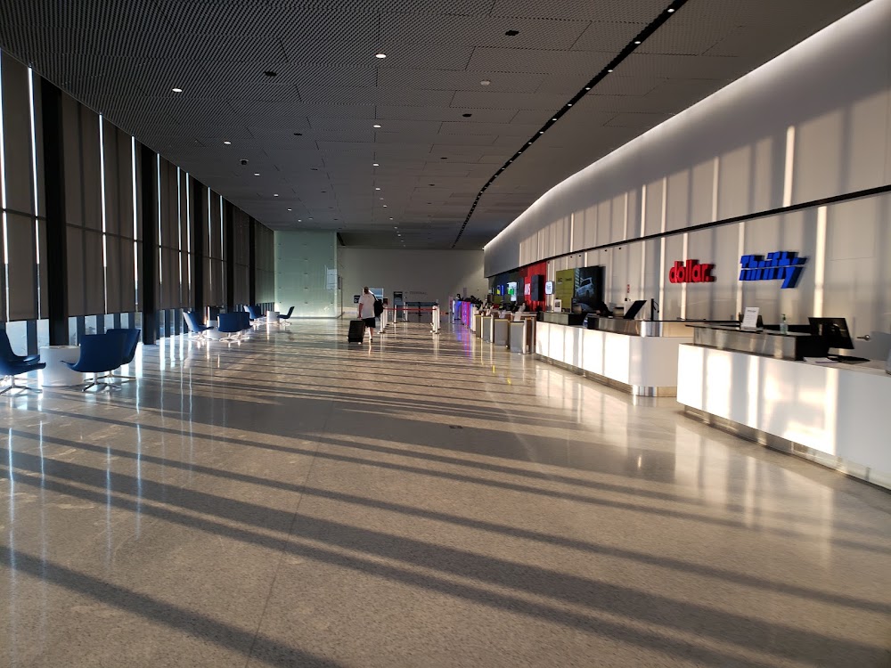
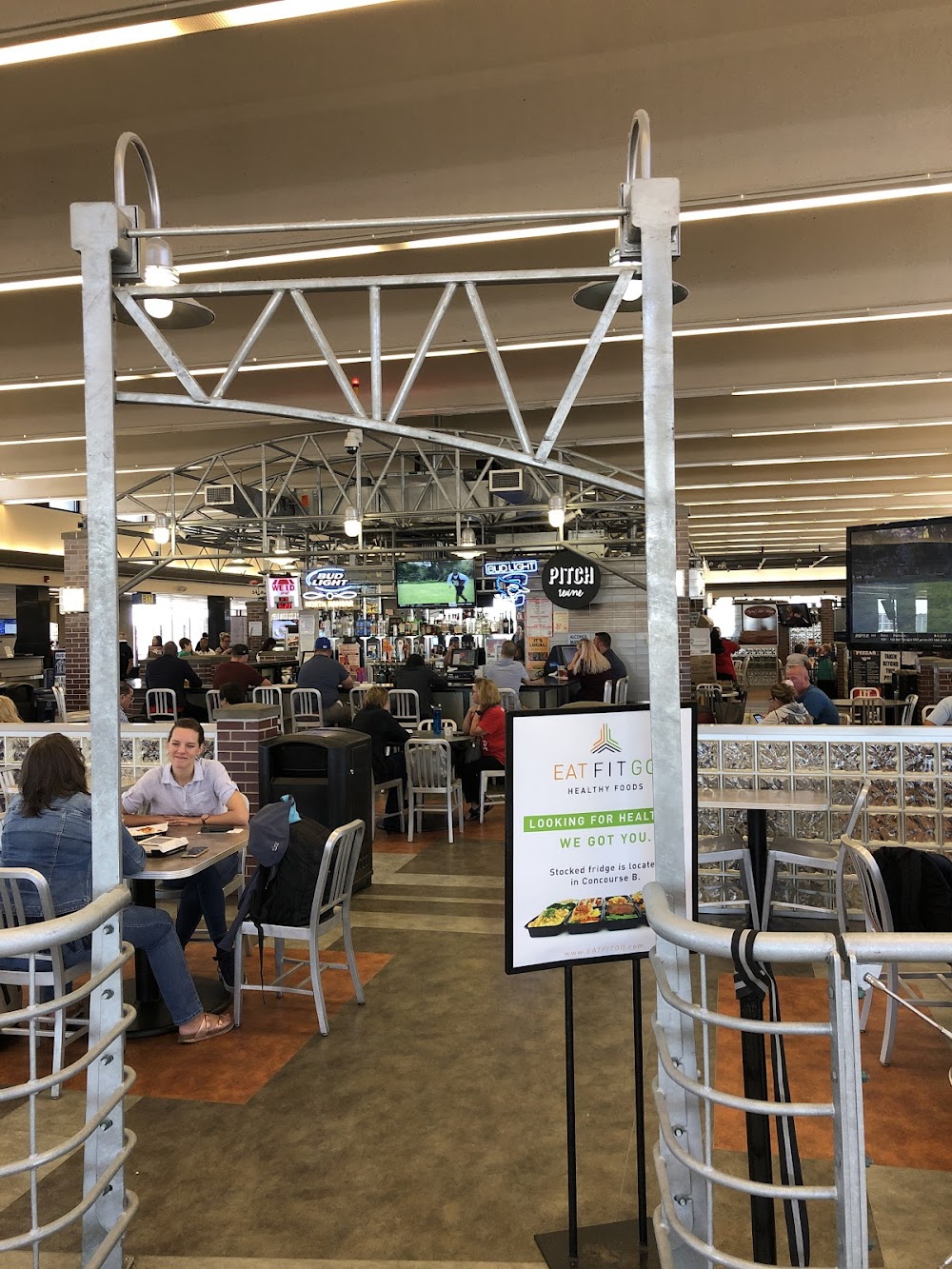
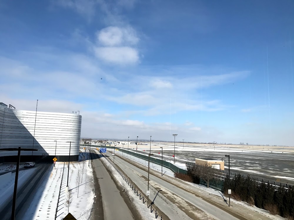
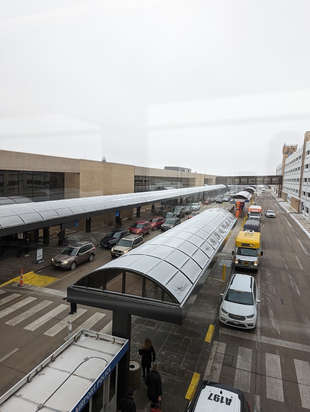
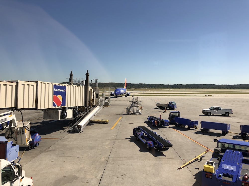
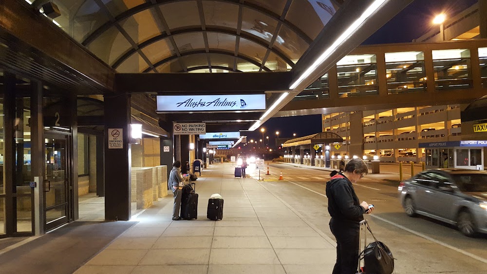
- Airport photos
- WiFi availability
- Fuel pump location
Location:
Omaha, NE
Elevation:
984ft
Sectional:
Omaha
Activation date:
Apr 1940
Fuel:
100LL, A, A+ (prices)
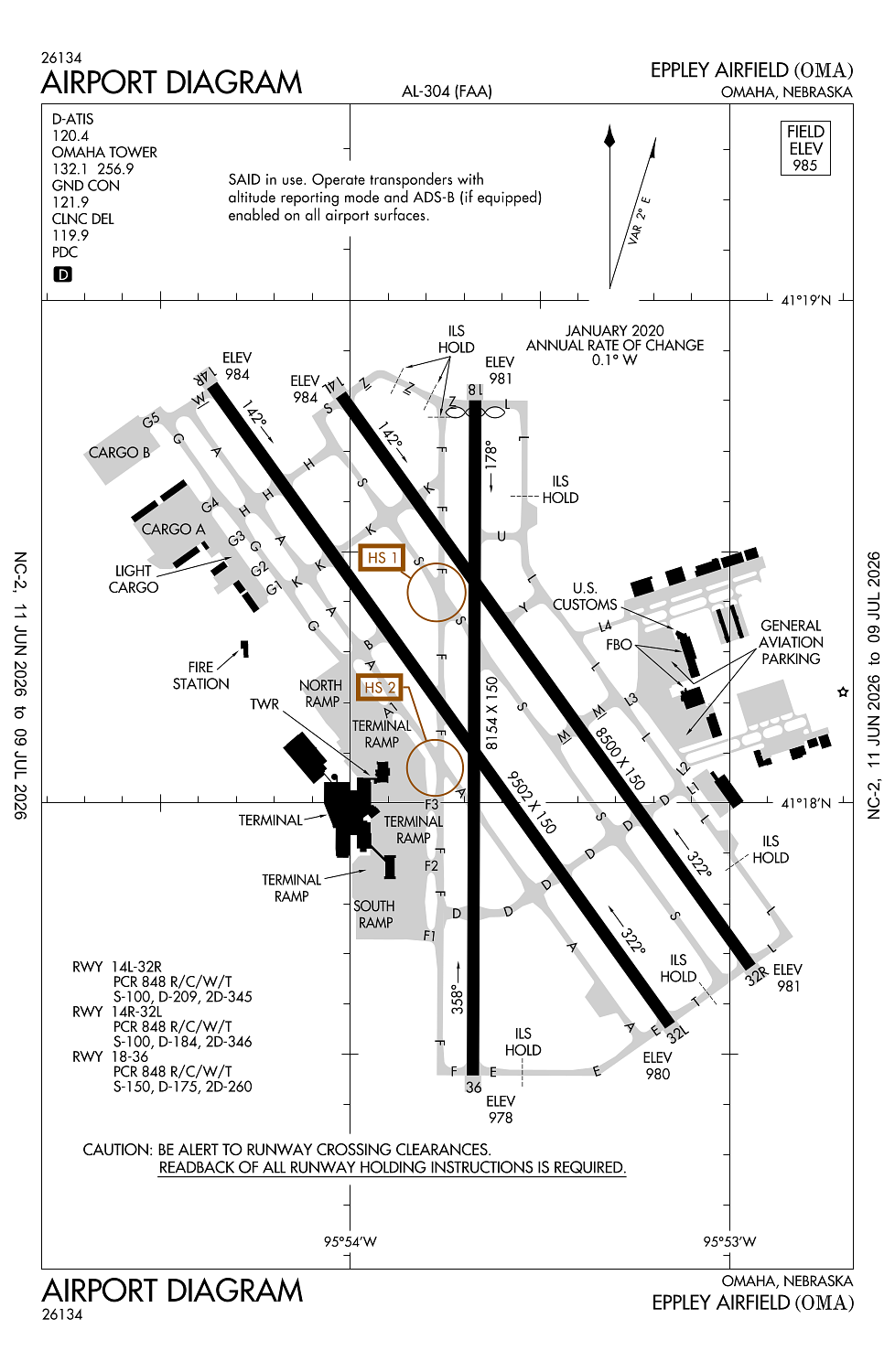
Runway 14R/32L:
9,502ft
Runway 14L/32R:
8,500ft
Runway 18/36:
8,154ft
Access: Open to the public
Current Weather — VFR
-
Weather data is strictly informational and not for flight planning purposes.
-
METAR2026-07-18 16:52:00 CDT
Ceiling: Sky clear Wind: 340° @ 7kt Temperature: 98°F Dewpoint: 66°F Weather: N/A Visbility: 10SM Clouds: Scattered @ 5,500ft, Scattered @ 25,000ft Raw:METAR KOMA 182152Z 34007KT 10SM SCT055 SCT250 37/19 A2993 RMK AO2 SLP122 CB DSNT NE AND E MOV S T03670189 -
TAF2026-07-18 13:00:00 CDT – 2026-07-18 21:30:00 CDT
Ceiling: Sky clear Wind: Variable Weather: N/A Visbility: 6SM Clouds: Few @ 5,000ft Raw:TAF KOMA 181722Z 1818/1918 VRB05KT P6SM FEW050 FM190230 08008KT P6SM SCT200 FM191600 12009KT P6SM FEW050 SCT200 -
TAF2026-07-18 21:30:00 CDT – 2026-07-19 11:00:00 CDT
Ceiling: Sky clear Wind: 080° @ 8kt Weather: N/A Visbility: 6SM Clouds: Scattered @ 20,000ft Raw:TAF KOMA 181722Z 1818/1918 VRB05KT P6SM FEW050 FM190230 08008KT P6SM SCT200 FM191600 12009KT P6SM FEW050 SCT200 -
TAF2026-07-19 11:00:00 CDT – 2026-07-19 13:00:00 CDT
Ceiling: Sky clear Wind: 120° @ 9kt Weather: N/A Visbility: 6SM Clouds: Few @ 5,000ft, Scattered @ 20,000ft Raw:TAF KOMA 181722Z 1818/1918 VRB05KT P6SM FEW050 FM190230 08008KT P6SM SCT200 FM191600 12009KT P6SM FEW050 SCT200
Click/tap to add an annotation marker to the map
No webcams added yet.
Remarks
- 24 hrs
- Birds on and invof arpt.
- Noise mitigation procedures prohibit vfr patterns for military turbojet acft between 0500-1200z.
- Group iv or larger acft with wingspans greater than 118 ft are prohibited from using the terminal ramp taxilane between gates 14 and 16.
- Hldg bay at rwy 32r clsd exc acft with wingspan less than 79 ft. hldg bay at rwy 18 clsd exc acft with wingspan less than 79 ft. hldg bay at rwy 32l clsd exc acft with wingspan less than 118 ft.
Comments