Pirep is a free, collaborative database of all public and private airports. All pilots are welcome to contribute their local knowledge to any airport, no registration required.
Public
METAR / TAF
Edit Tags
No upcoming events. Is anything happening here soon?
Airport Statistics
- Local flying clubs
- General description
- Transient parking location
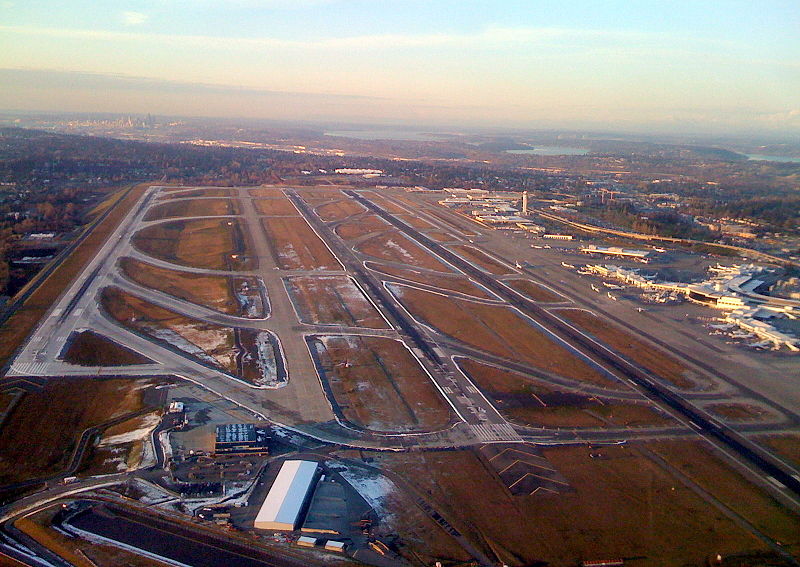
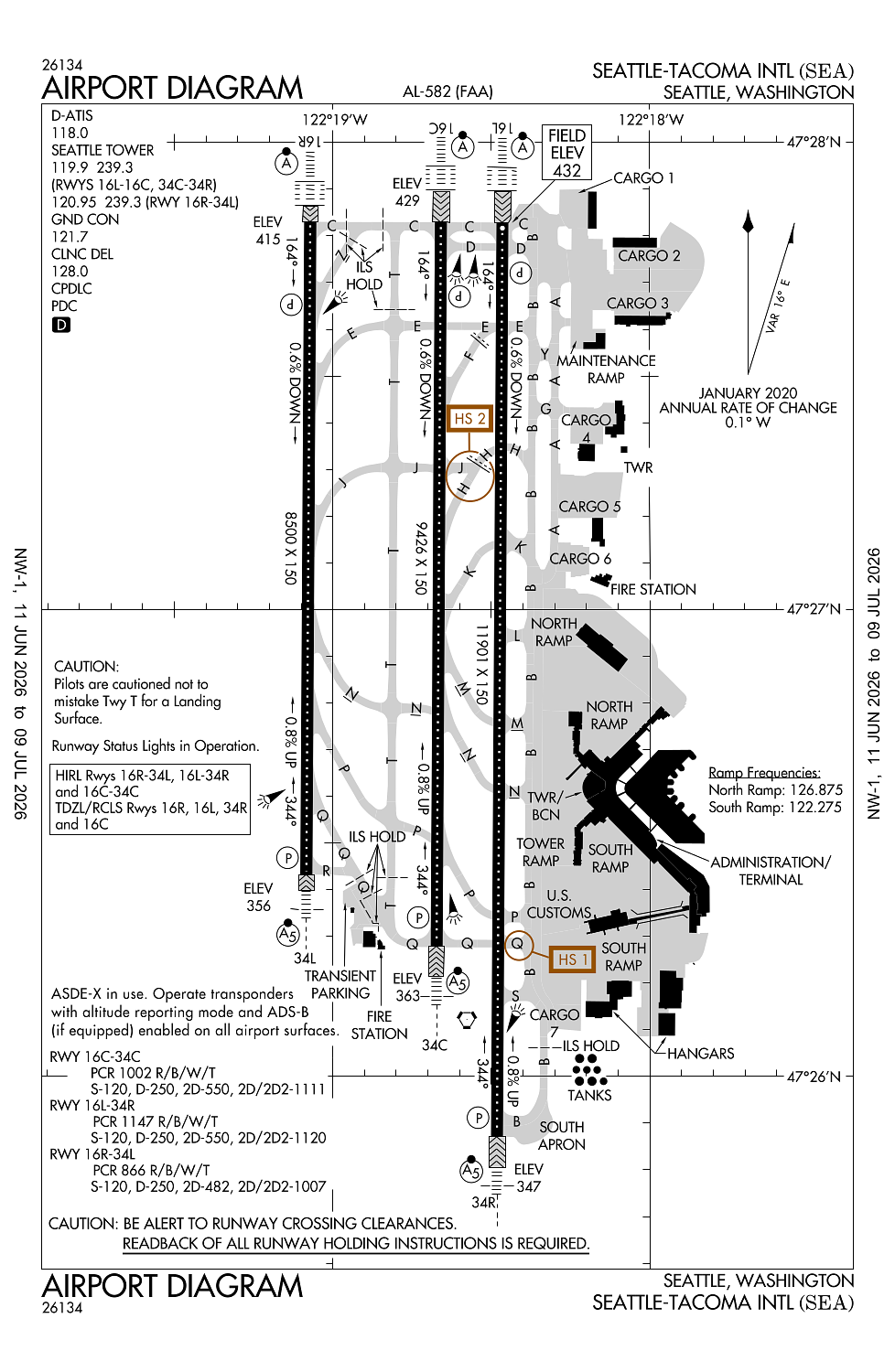
Location:
Seattle, WA
Elevation:
432ft
Sectional:
Seattle
Activation date:
Jan 1944
Fuel:
A, A1 (prices)
Runway 16L/34R:
11,901ft
Runway 16C/34C:
9,426ft
Runway 16R/34L:
8,500ft
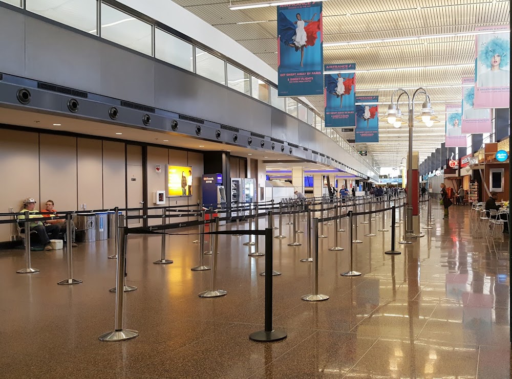
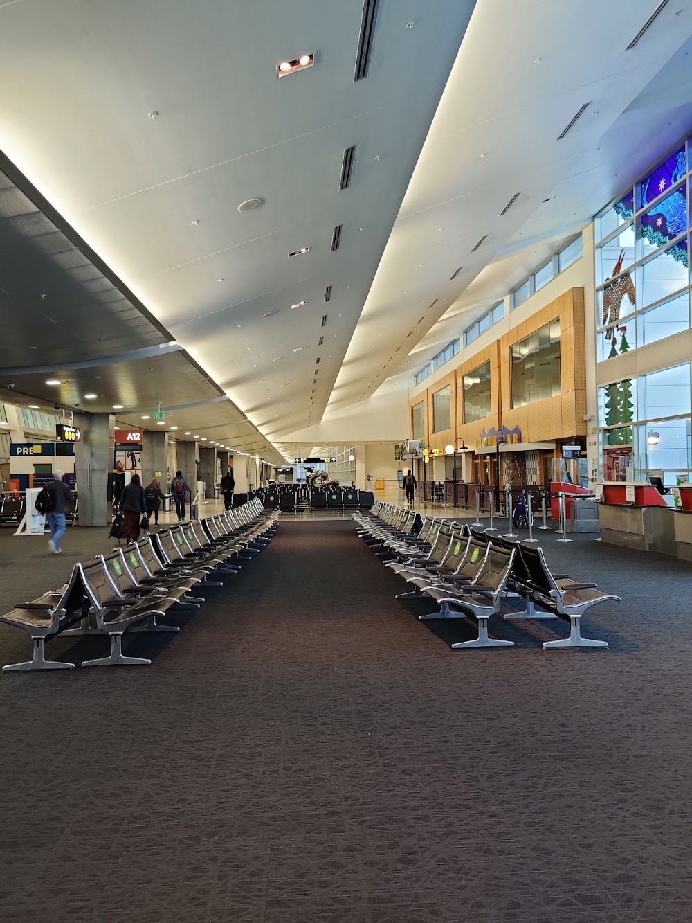
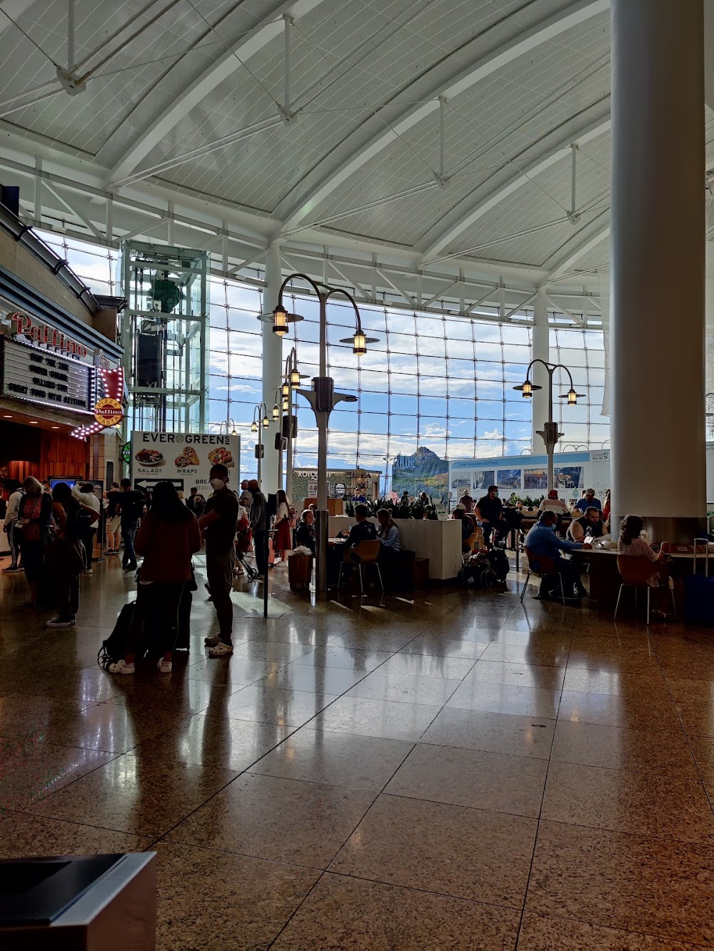
Access: Open to the public
Current Weather — VFR
-
Weather data is strictly informational and not for flight planning purposes.
-
METAR2026-07-01 20:53:00 PDT
Ceiling: 8,000ft Wind: 180° @ 4kt Temperature: 62°F Dewpoint: 48°F Weather: N/A Visbility: 10SM Clouds: Few @ 4,000ft, Broken @ 8,000ft Raw:METAR KSEA 020353Z 18004KT 10SM FEW040 BKN080 17/09 A3005 RMK AO2 SLP181 T01670089 $ -
TAF2026-07-01 20:00:00 PDT – 2026-07-02 01:00:00 PDT
Ceiling: 8,000ft Wind: 230° @ 5kt Weather: N/A Visbility: 6SM Clouds: Scattered @ 4,000ft, Broken @ 8,000ft Raw:TAF KSEA 020300Z 0203/0306 23005KT P6SM SCT040 BKN080 FM020800 26005KT P6SM BKN040 FM021100 21006KT P6SM SCT025 BKN040 TEMPO 0212/0216 BKN025 FM021800 20009KT P6SM SCT040 BKN080 FM022300 24006KT P6SM BKN040 -
TAF2026-07-02 01:00:00 PDT – 2026-07-02 04:00:00 PDT
Ceiling: 4,000ft Wind: 260° @ 5kt Weather: N/A Visbility: 6SM Clouds: Broken @ 4,000ft Raw:TAF KSEA 020300Z 0203/0306 23005KT P6SM SCT040 BKN080 FM020800 26005KT P6SM BKN040 FM021100 21006KT P6SM SCT025 BKN040 TEMPO 0212/0216 BKN025 FM021800 20009KT P6SM SCT040 BKN080 FM022300 24006KT P6SM BKN040 -
TAF2026-07-02 04:00:00 PDT – 2026-07-02 11:00:00 PDT
Ceiling: 4,000ft Wind: 210° @ 6kt Weather: N/A Visbility: 6SM Clouds: Scattered @ 2,500ft, Broken @ 4,000ft Raw:TAF KSEA 020300Z 0203/0306 23005KT P6SM SCT040 BKN080 FM020800 26005KT P6SM BKN040 FM021100 21006KT P6SM SCT025 BKN040 TEMPO 0212/0216 BKN025 FM021800 20009KT P6SM SCT040 BKN080 FM022300 24006KT P6SM BKN040 -
TAF2026-07-02 05:00:00 PDT – 2026-07-02 09:00:00 PDT
Ceiling: 2,500ft Wind: 000° @ kt Weather: N/A Visbility: SM Clouds: Broken @ 2,500ft Raw:TAF KSEA 020300Z 0203/0306 23005KT P6SM SCT040 BKN080 FM020800 26005KT P6SM BKN040 FM021100 21006KT P6SM SCT025 BKN040 TEMPO 0212/0216 BKN025 FM021800 20009KT P6SM SCT040 BKN080 FM022300 24006KT P6SM BKN040 -
TAF2026-07-02 11:00:00 PDT – 2026-07-02 16:00:00 PDT
Ceiling: 8,000ft Wind: 200° @ 9kt Weather: N/A Visbility: 6SM Clouds: Scattered @ 4,000ft, Broken @ 8,000ft Raw:TAF KSEA 020300Z 0203/0306 23005KT P6SM SCT040 BKN080 FM020800 26005KT P6SM BKN040 FM021100 21006KT P6SM SCT025 BKN040 TEMPO 0212/0216 BKN025 FM021800 20009KT P6SM SCT040 BKN080 FM022300 24006KT P6SM BKN040 -
TAF2026-07-02 16:00:00 PDT – 2026-07-02 23:00:00 PDT
Ceiling: 4,000ft Wind: 240° @ 6kt Weather: N/A Visbility: 6SM Clouds: Broken @ 4,000ft Raw:TAF KSEA 020300Z 0203/0306 23005KT P6SM SCT040 BKN080 FM020800 26005KT P6SM BKN040 FM021100 21006KT P6SM SCT025 BKN040 TEMPO 0212/0216 BKN025 FM021800 20009KT P6SM SCT040 BKN080 FM022300 24006KT P6SM BKN040
Click/tap to add an annotation marker to the map
No webcams added yet.
Remarks
- Existed prior to may 15, 1959.
- Bird flocks on and invof arpt - check lcl adzys.
- Flight notification service (adcus) avbl.
- Helicopters landing & departing avoid overflying fuel farm lctd at the se corner of the arpt.
- (e110) continuous power arpt.
Comments