Pirep is a free, collaborative database of all public and private airports. All pilots are welcome to contribute their local knowledge to any airport, no registration required.

No upcoming events. Is anything happening here soon?
Last updated: 2023-11-04 13:23:01 PDT
Airport Statistics
- Fuel pump location
- Local flying clubs
- Crew car availability
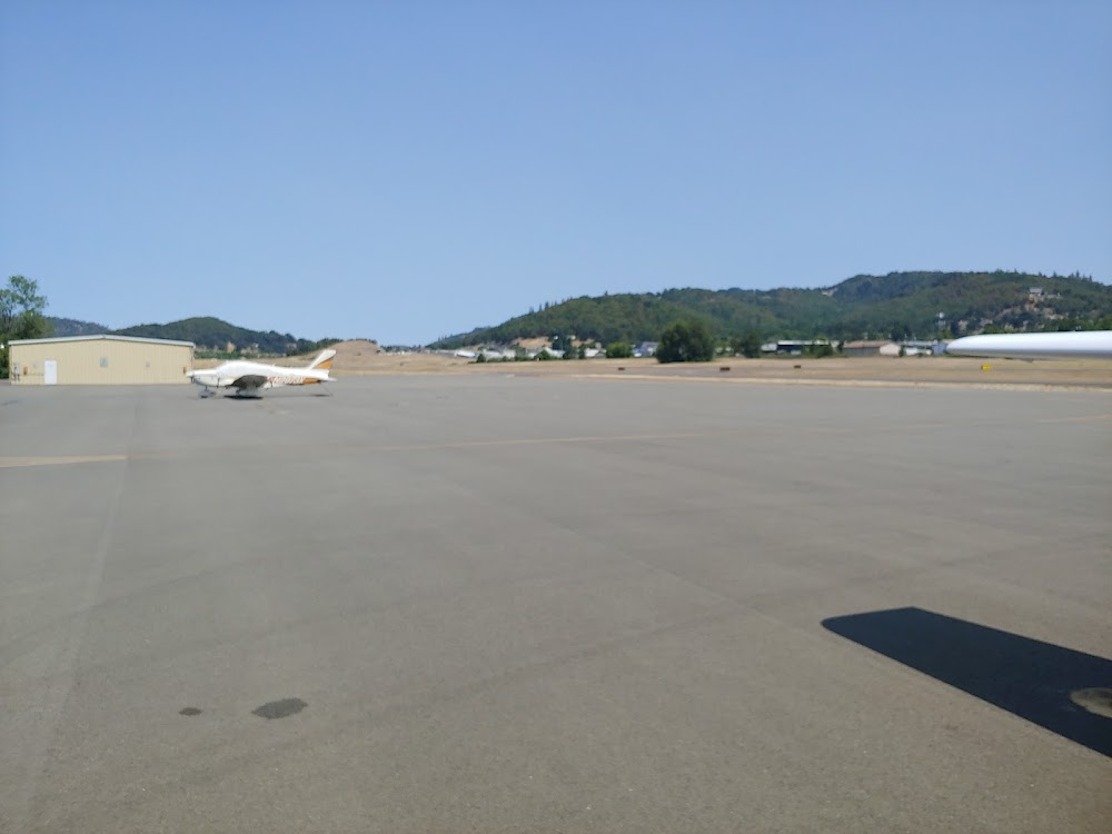
Location:
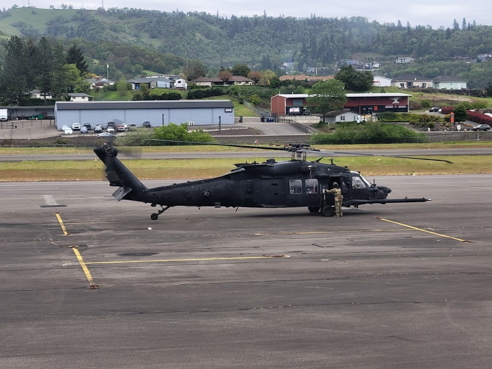
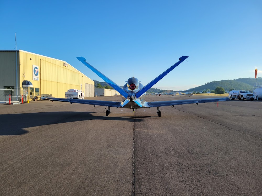
Roseburg, OR
Elevation:
533ft
Sectional:
Klamath Falls
Activation date:
Dec 1938
Fuel:
100LL, A (prices)
Runway 16/34:
5,003ft
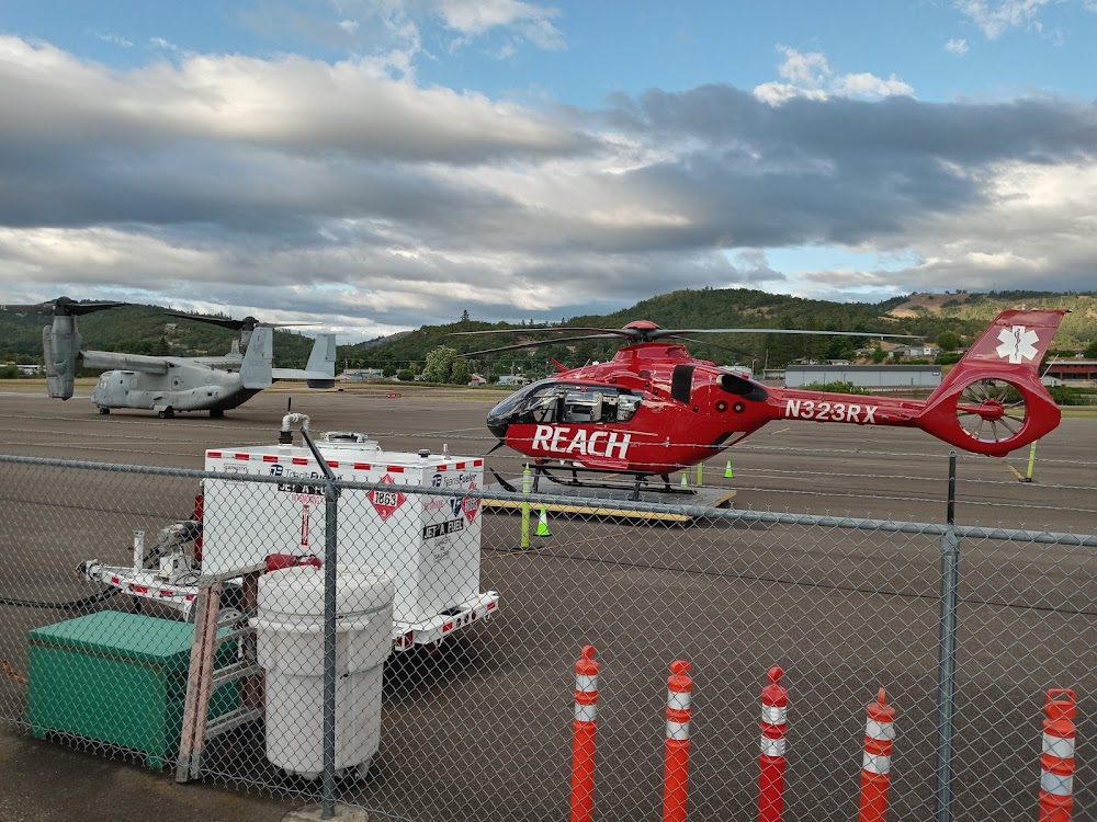
Access: Open to the public
Similar Airports
Current Weather — VFR
-
Weather data is strictly informational and not for flight planning purposes.
-
METAR2026-07-21 09:53:00 PDT
Ceiling: Sky clear Wind: 240° @ 3kt Temperature: 73°F Dewpoint: 59°F Weather: N/A Visbility: 10SM Raw:METAR KRBG 211653Z AUTO 24003KT 10SM CLR 23/15 A2994 RMK AO2 SLP135 T02330150 -
TAF2026-07-21 11:00:00 PDT – 2026-07-21 16:00:00 PDT
Ceiling: Sky clear Wind: Variable Weather: N/A Visbility: 6SM Clouds: Scattered @ 15,000ft Raw:TAF KRBG 211721Z 2118/2218 VRB02KT P6SM SCT150 FM212300 34007KT P6SM BKN150 FM220400 VRB03KT P6SM SCT150 -
TAF2026-07-21 16:00:00 PDT – 2026-07-21 21:00:00 PDT
Ceiling: 15,000ft Wind: 340° @ 7kt Weather: N/A Visbility: 6SM Clouds: Broken @ 15,000ft Raw:TAF KRBG 211721Z 2118/2218 VRB02KT P6SM SCT150 FM212300 34007KT P6SM BKN150 FM220400 VRB03KT P6SM SCT150 -
TAF2026-07-21 21:00:00 PDT – 2026-07-22 11:00:00 PDT
Ceiling: Sky clear Wind: Variable Weather: N/A Visbility: 6SM Clouds: Scattered @ 15,000ft Raw:TAF KRBG 211721Z 2118/2218 VRB02KT P6SM SCT150 FM212300 34007KT P6SM BKN150 FM220400 VRB03KT P6SM SCT150
Click/tap to add an annotation marker to the map
No webcams added yet.
Remarks
- Waterfowl on & invof arpt.
- +700 to 1200 ft trrn srnd arpt wi 2 mi.
- For cd if una to ctc on fss freq, ctc seattle artcc at 253-351-3694.
- Actvt reil rwy 16 & 34; mirl rwy 16/34 - ctaf. rwy 34 papi opr consly.
- 14:1 based on dsplcd thr.
- 19:1 based on dthr.
Comments