Pirep is a free, collaborative database of all public and private airports. All pilots are welcome to contribute their local knowledge to any airport, no registration required.
Public
Undocumented
Edit Tags
No upcoming events. Is anything happening here soon?
Airport Statistics
- General description
- Transient parking location
- Local flying clubs
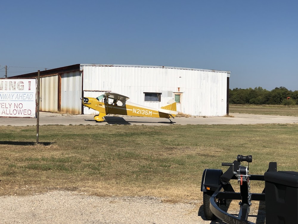
Location:
Lake Dallas, TX
Elevation:
535ft
Sectional:
Dallas Ft Worth
Activation date:
Mar 1959
Fuel:
None
Runway 18R/36L:
2,815ft
Runway 18L/36R:
2,600ft
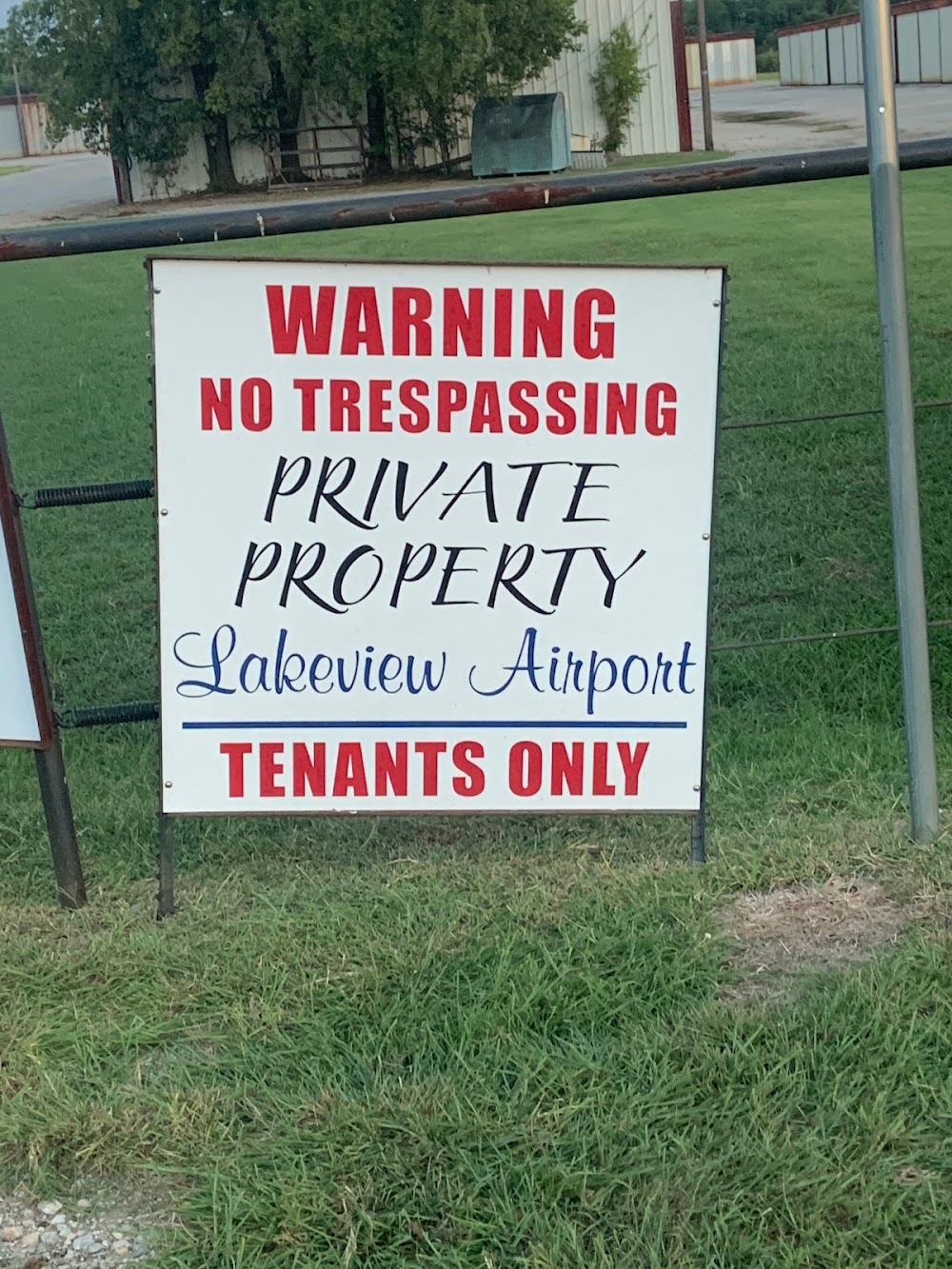
Access: Open to the public
Click/tap to add an annotation marker to the map
No webcams added yet.
Remarks
- Pre-dates the act.
- No tgl permitted.
- Arpt clsd to tsnt students.
- Birds on and invof arpt.
- Powered parachutes and balloons prohibited.
- Rwy 18l/36r lake 350 ft fm north end of rwy, 170 ft fm south end. portions of rwy may be under water during heavy rains.
- Gate locked 24 hrs.
- For cd ctc lone star apch at 972-615-2799.
Comments