Pirep is a free, collaborative database of all public and private airports. All pilots are welcome to contribute their local knowledge to any airport, no registration required.


Public
Undocumented
Edit Tags
No upcoming events. Is anything happening here soon?
Airport Statistics
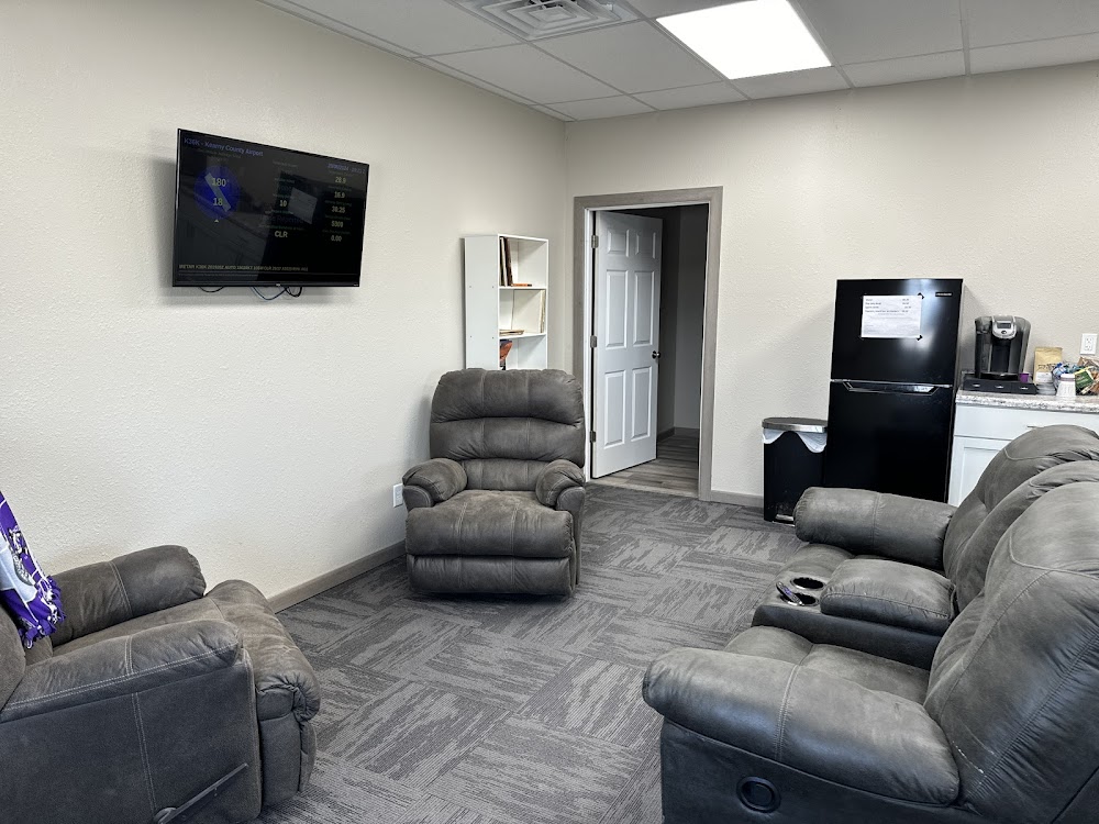
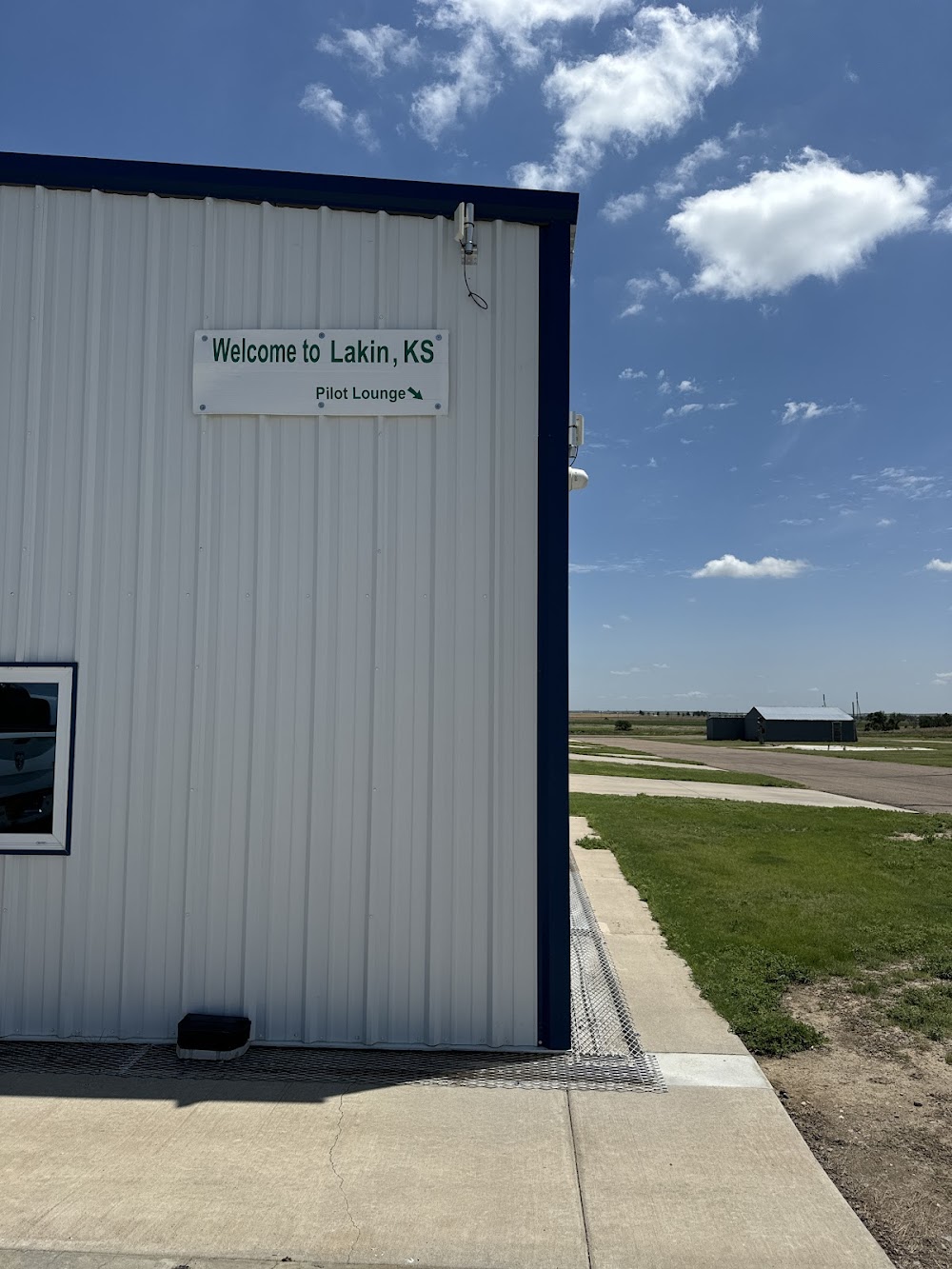
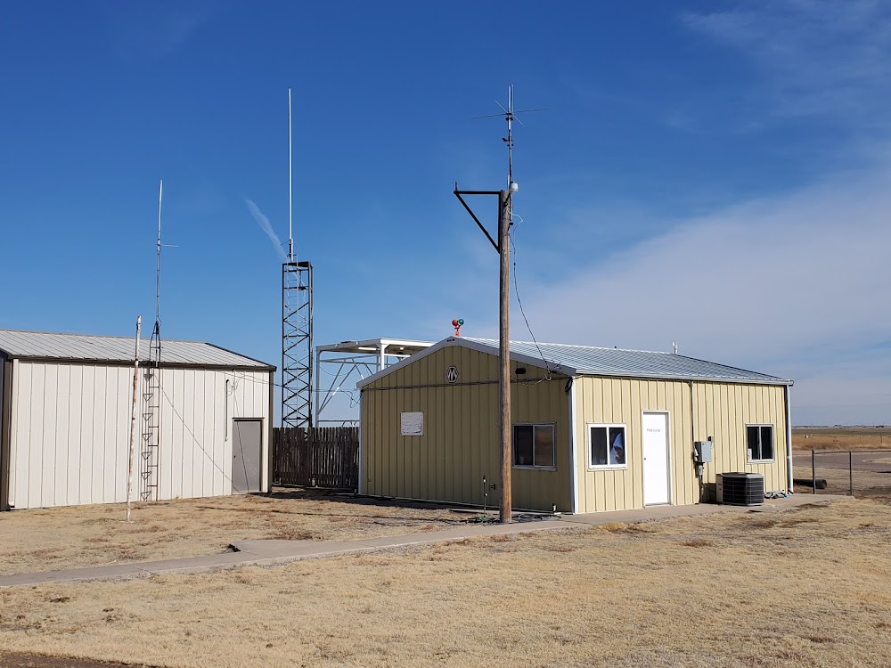
- Airport photos
- Airport map annotations
- Local flying clubs
Location:
Lakin, KS
Elevation:
3,076ft
Sectional:
Wichita
Activation date:
Jun 1955
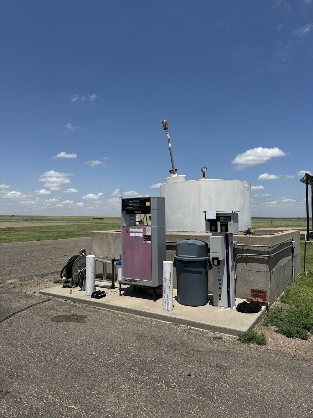
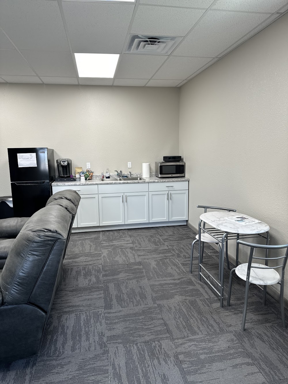
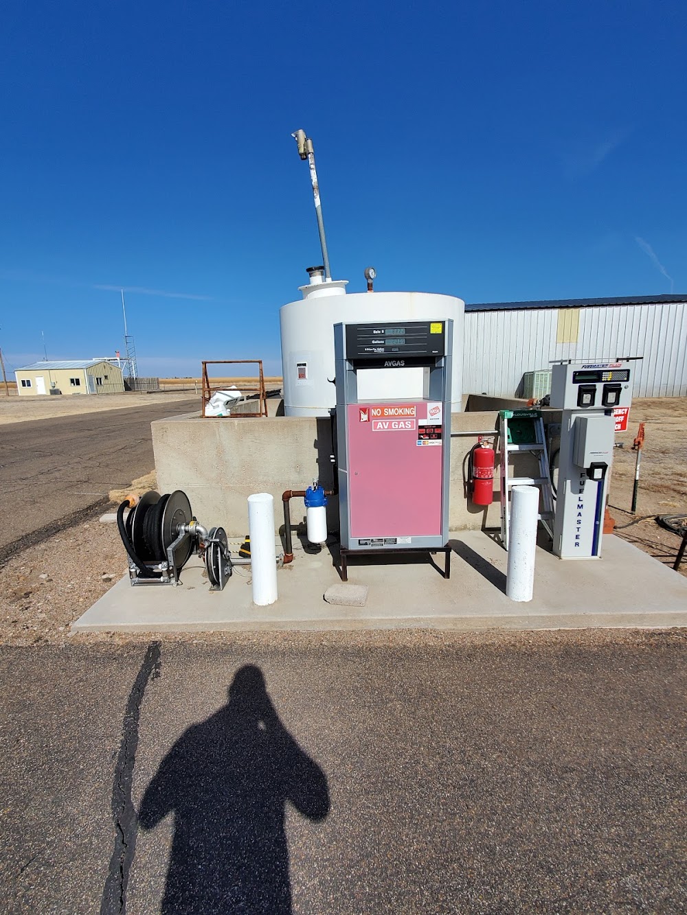
Fuel:
100LL (prices)
Runway 14/32:
3,410ft
Runway 02/20:
2,579ft
Access: Open to the public
Click/tap to add an annotation marker to the map
No webcams added yet.
Remarks
- Existed prior to 1959.
- Public phone avbl 24 hrs 620-355-6775.
- For cd ctc kansas city artcc at 913-254-8508.
- Controlling obstruction exceeds a 45 degree slope
- 9 ft rd, 193 ft dstc, 125 l.
- Rough & uneven, bare spots, 6 ft. berm both sides of rwy, midway.
Comments