Pirep is a free, collaborative database of all public and private airports. All pilots are welcome to contribute their local knowledge to any airport, no registration required.


Undocumented
METAR / TAF
Edit Tags
No upcoming events. Is anything happening here soon?
Airport Statistics
- Webcam links
- Fuel pump location
- WiFi availability
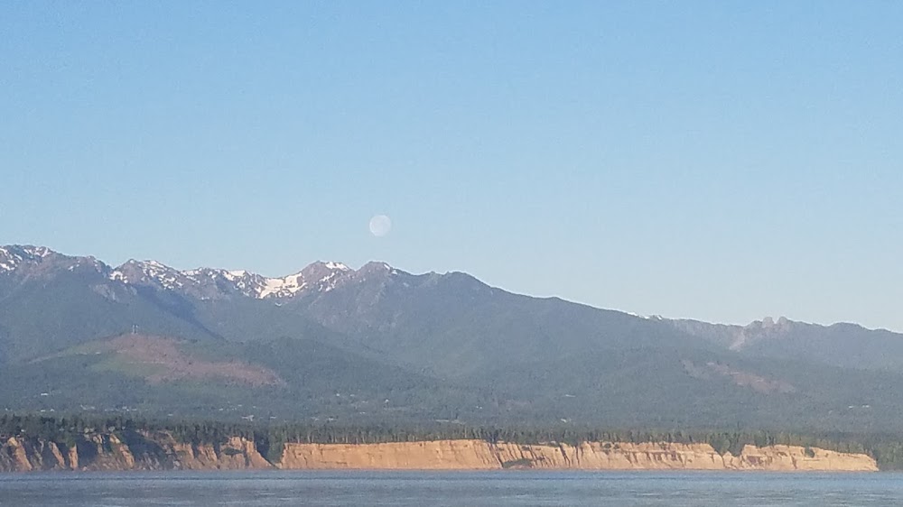
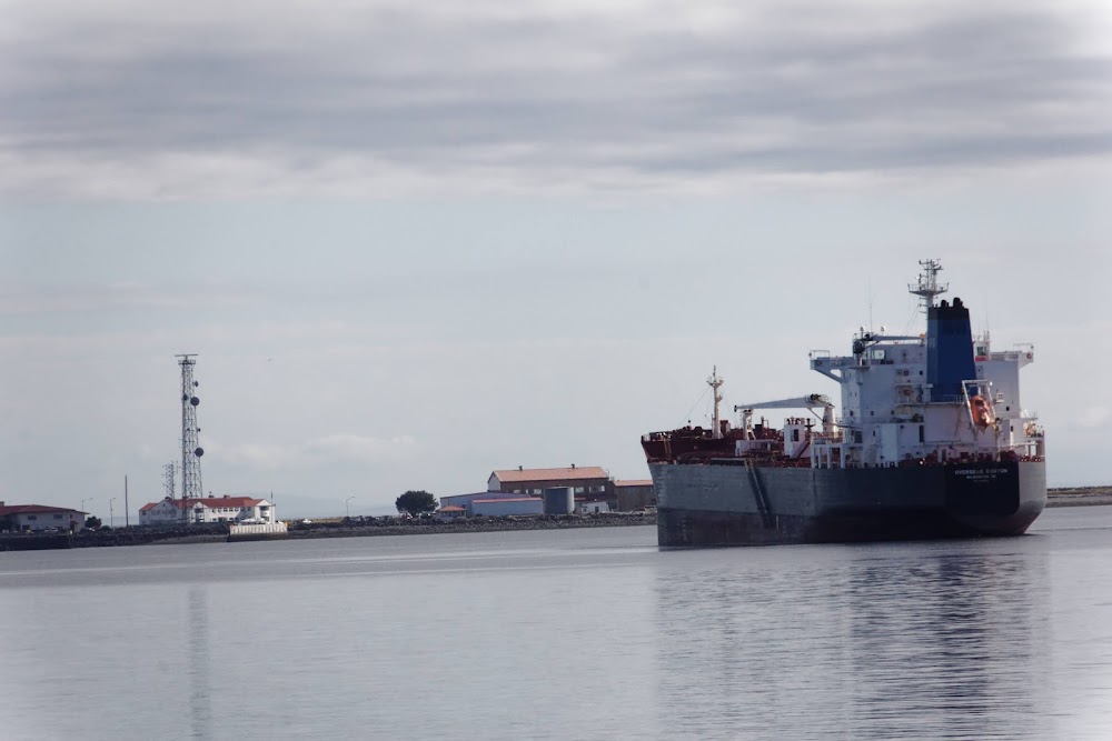
Location:
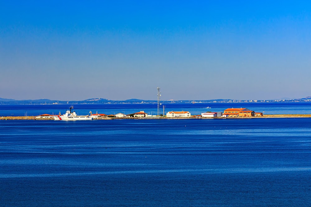
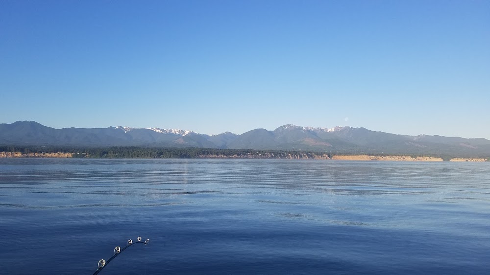
Port Angeles, WA
Elevation:
13ft
Sectional:
Seattle
Activation date:
Jul 1943
Fuel:
None
Runway 08/26:
4,500ft
Runway H1:
100ft
Access: Private to everyone
This is a military facility.
Current Weather — VFR
-
Weather data is strictly informational and not for flight planning purposes.
-
METAR2026-07-15 21:15:00 PDT
Ceiling: Sky clear Wind: 290° @ 16kt, gusts 21kt Temperature: 53°F Dewpoint: 51°F Weather: N/A Visbility: 10SM Raw:METAR KNOW 160415Z AUTO 29016G21KT 10SM CLR 12/11 A2998 RMK AO2 T01220110
Click/tap to add an annotation marker to the map
No webcams added yet.
Remarks
- Ctc port angeles air on 345.0 or 127.7, 15 min prior to lndg.
- Fuel: j8 avbl to sar and cg msn only.
- Birds on ry all yr. bldgs as close as 126 ft fr ry cntrln.
- Rstd: clsd to non-cg acft wo 24 hr ppr. c360-417-5840.
- Rstd: 24 hr ppr for all trans acft.
- Tran alert: trans qtrs not avbl.
- For cd ctc whidbey apch at 360-257-3310.
Comments