Pirep is a free, collaborative database of all public and private airports. All pilots are welcome to contribute their local knowledge to any airport, no registration required.


No upcoming events. Is anything happening here soon?
Last updated: 2023-07-15 01:11:26 CDT
Airport Statistics
- Transient parking location
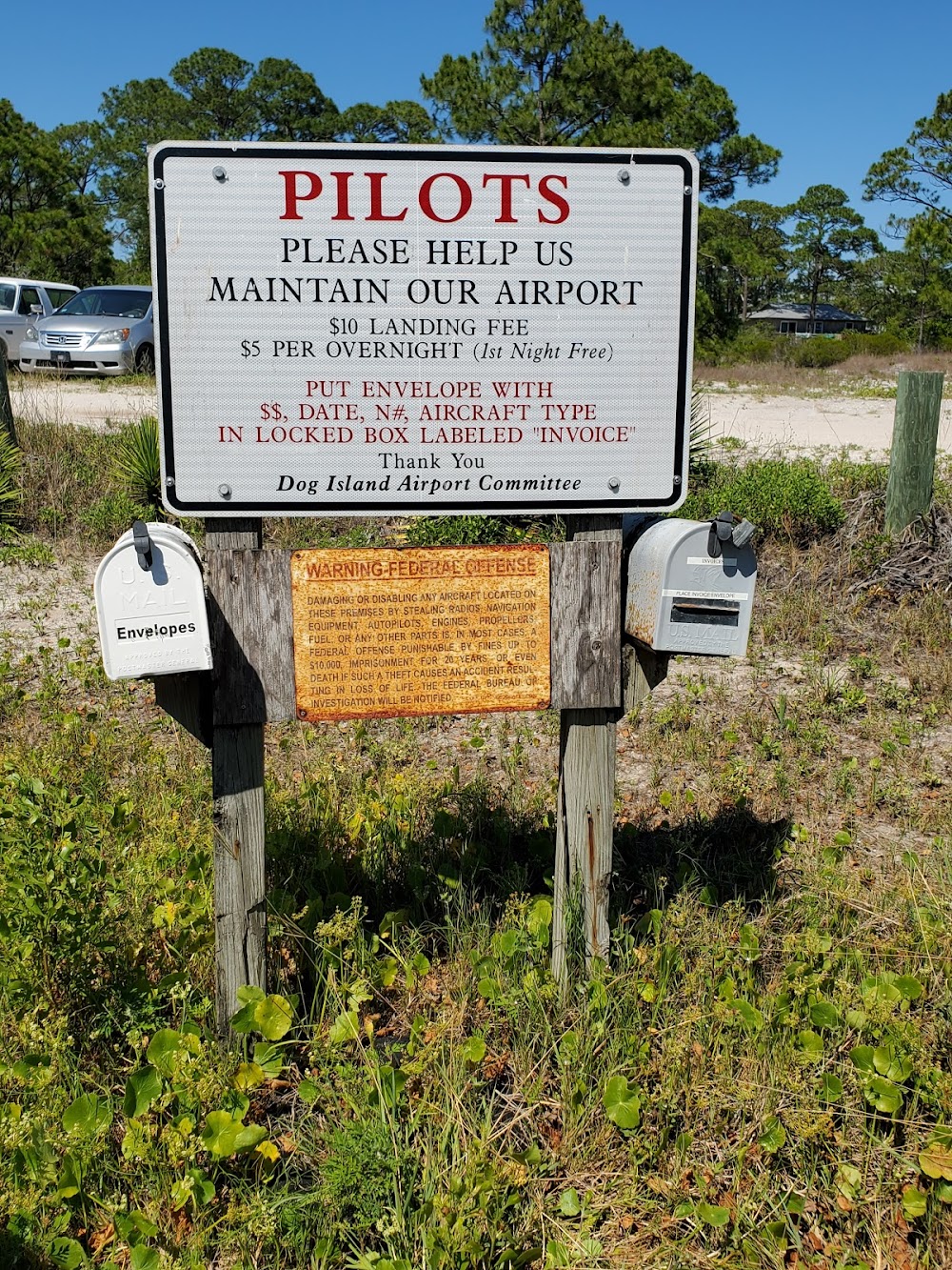
- Landing & tie-down fees
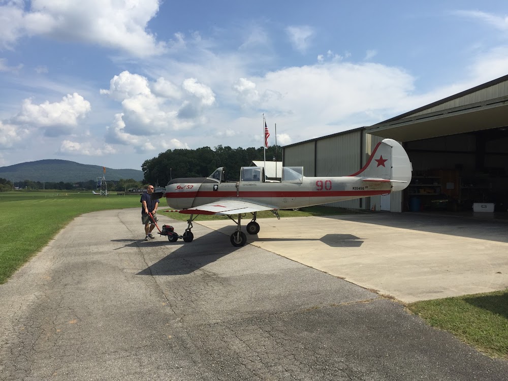
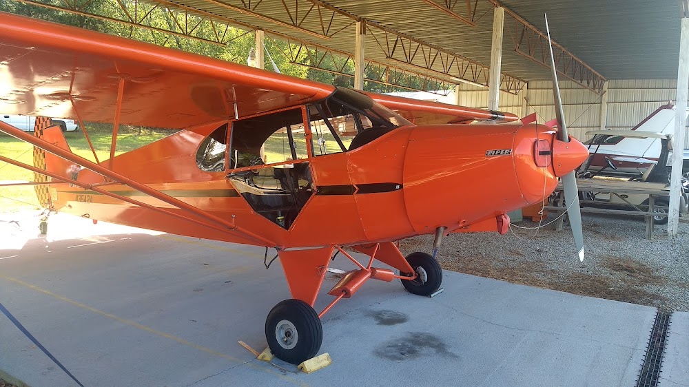
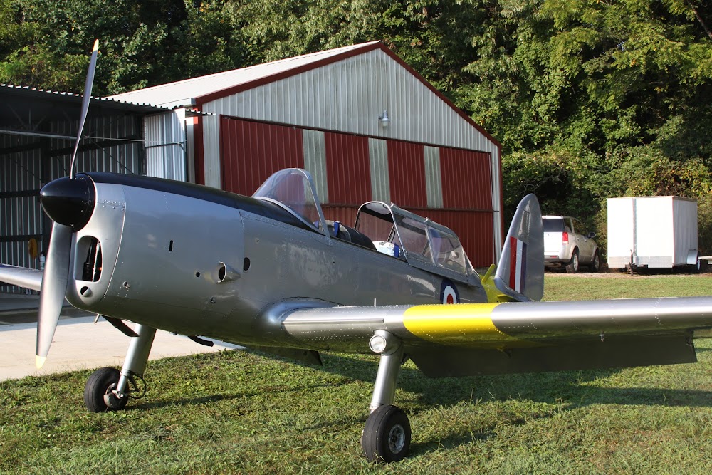
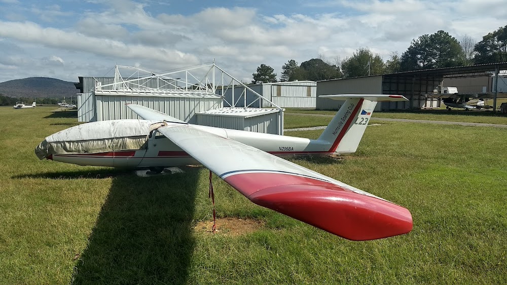
- Airport photos
Location:
Huntsville, AL
Elevation:
655ft
Sectional:
Atlanta
Fuel:
100LL
Runway 09/27:
2,551ft
Access: Open to the public
This airport is privately owned but open to the public.
Similar Airports

Click/tap to add an annotation marker to the map
No webcams added yet.
Remarks
- Actvt rotg bcn - ctaf.
- Twy lgts for twy turnoff only.
- For cd ctc huntsville apch at 256-542-2070, when apch clsd ctc memphis artcc at 901-368-8453/8449.
- Actvt lirl rwy 09/27 - ctaf.
- Glider act invof arpt.
- Arpt mowing in progress wkdays spring thru autumn.
- Deer on and invof of arpt
- The changes submitted are adjustments to both the phys rwy len and rwy cntr endpoint locations as delineated by long standing lirl mrkg the ends of the prepared rwy sfc. in addn, there is a dthr of 350 ft for rwy 27, also mkd with long standing lirl the current data in the arpt rcrd does not reflect this otr than apparently using it to calculate the currently published len of both rwy 9 and 27. the dthr is present due to a roadway elevated abv rwy elev that runs perpendicular to the rwy on the apch end of rwy 27. we would req that the dthr be reflected in the adm data.
Comments