Pirep is a free, collaborative database of all public and private airports. All pilots are welcome to contribute their local knowledge to any airport, no registration required.


Private
Undocumented
Edit Tags
No upcoming events. Is anything happening here soon?
Airport Statistics
- Crew car availability
- WiFi availability
- Airport map annotations
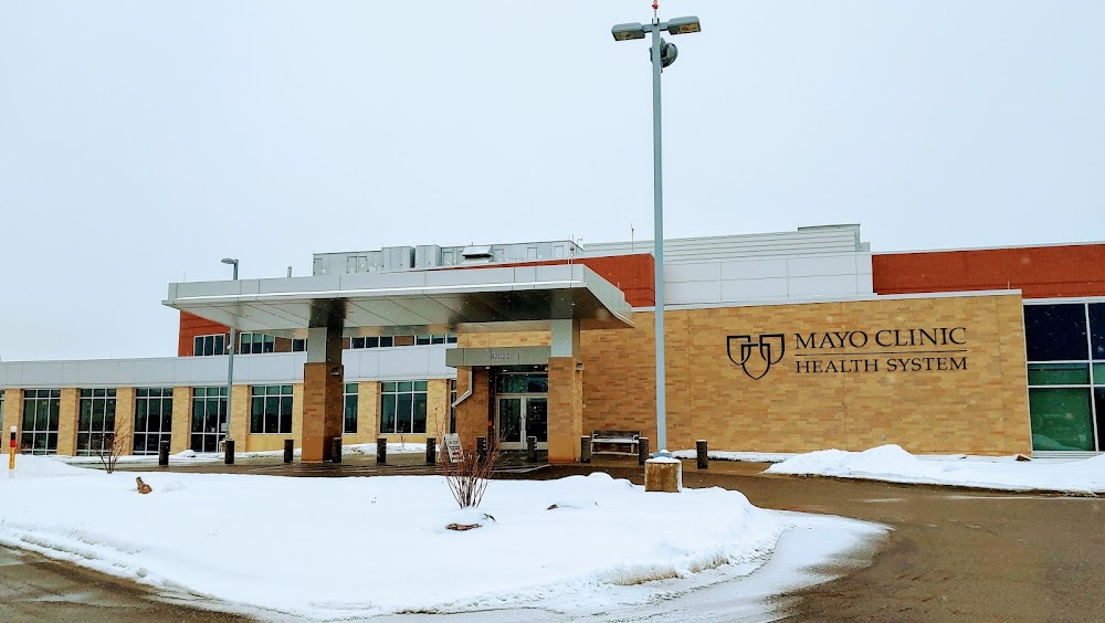
Location:
Cannon Falls, MN
Elevation:
1,008ft
Sectional:
Green Bay
Activation date:
Dec 2017
Fuel:
None
Runway H1:
45ft
Access: Private to everyone
Is this airport privately owned but open to the public with or without restrictions? Or perhaps the owner is simply happy for pilots to stop by with prior permission?
Click/tap to add an annotation marker to the map
No webcams added yet.
Remarks
- Flight standards has reviewed the heliport site to analyze the safety of helicopter operations. the proponent must meet al l state and local requirements; the landing area must be limited to private use only; and all operations must be conducted visually. because this is a private use heliport, all operators proceed at their own risk. to enhance the safety of operations, we recommend: 1) all helicopter approach / departure route operations should be conducted on a 150 degree clockwise to 180 degree egress heading / 330 degree clockwise to 090 degree ingress heading using the center of the heliport as the reference point, or on a 240 degree clockwise to 270 degree egress heading / 060 degree clockwise to 090 degree ingress heading, or on a 090 degree egress heading / 270 degree ingress heading using the center of the heliport as the reference point. 2) a wind indicator continues to be installed and maintained adjacent to the helipo11, away from the approach and departure routes, and outside the safety area. 3) no night helicopter operations are conducted unless the heliport and wind indicator are l it in accordance with ac l 50/ 5390-2c , paragraphs 415 and 411c. 4) the takeoff/landing area continues to be appropriately marked in accordance with ac i 50/5390-2c. paragraph 414 . 5) the heliport proponent will reexamine obstacles in the vicinity of the approach/departure paths on an annual basis in ...
- For cd ctc minneapolis apch at 612-713-4016.
- Email address: trepanier.keith@mayo.edu (all lower case)
Comments