Pirep is a free, collaborative database of all public and private airports. All pilots are welcome to contribute their local knowledge to any airport, no registration required.


No upcoming events. Is anything happening here soon?
Last updated: 2024-05-24 00:10:03 PDT
Last updated: 2023-09-17 21:09:04 PDT
Last updated: 2023-09-26 00:14:07 PDT
Last updated: 2023-07-01 20:37:31 PDT
Last updated: 2023-09-17 21:09:04 PDT
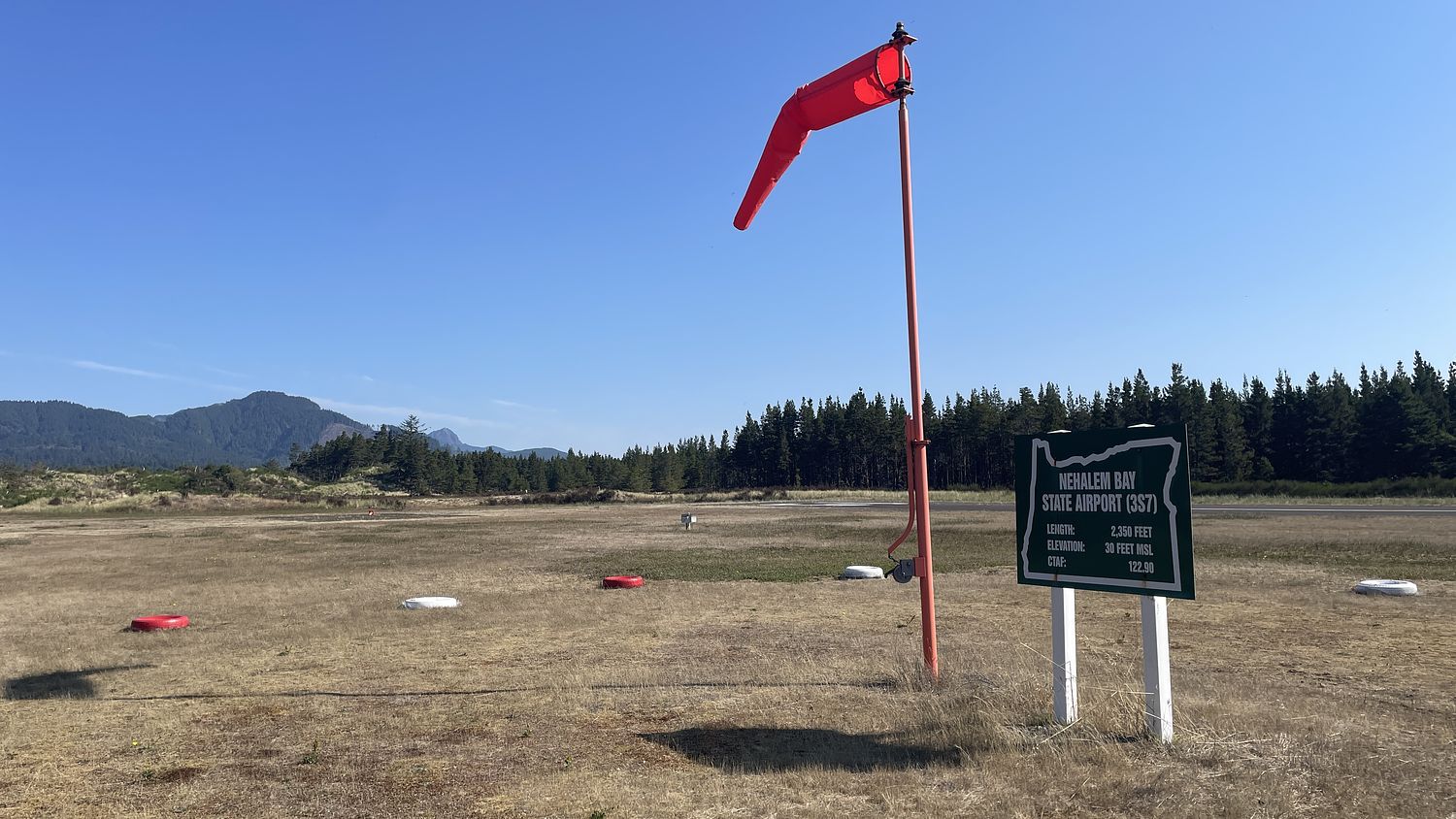
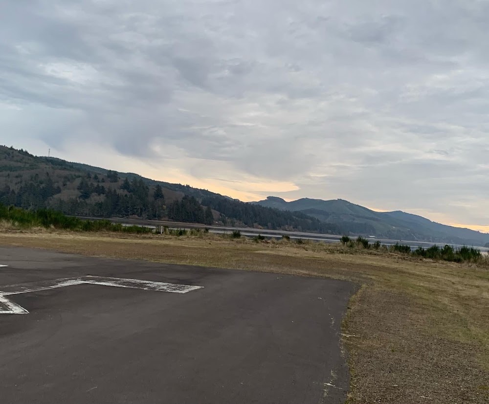
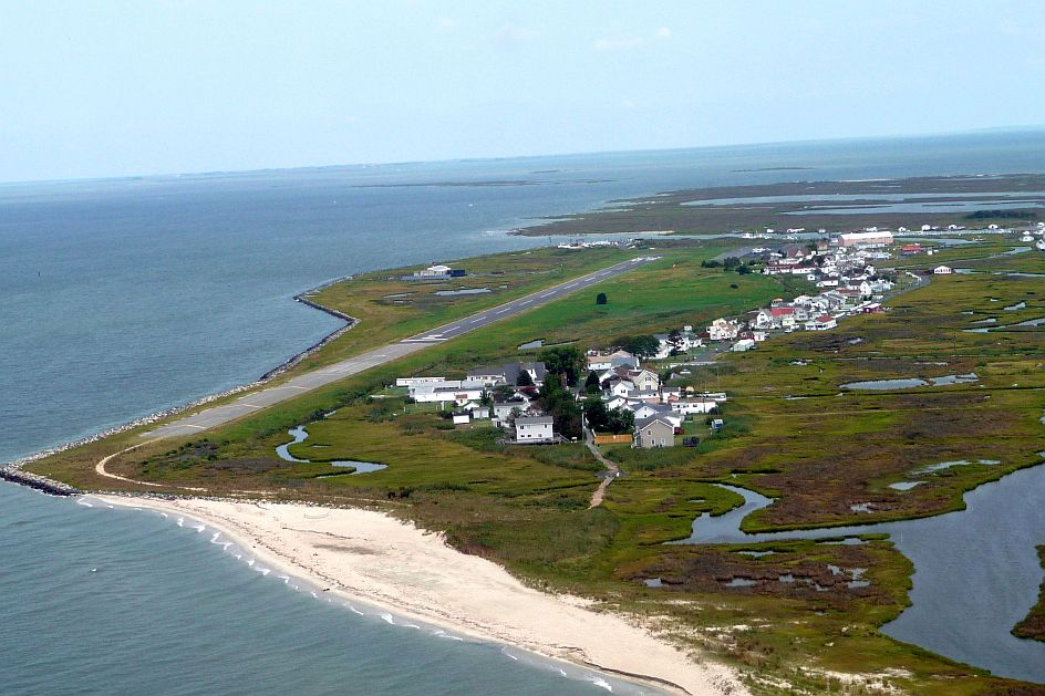
Airport Statistics
Location:
Manzanita, OR
Elevation:
30ft
Sectional:
Seattle
Activation date:
Jan 1961
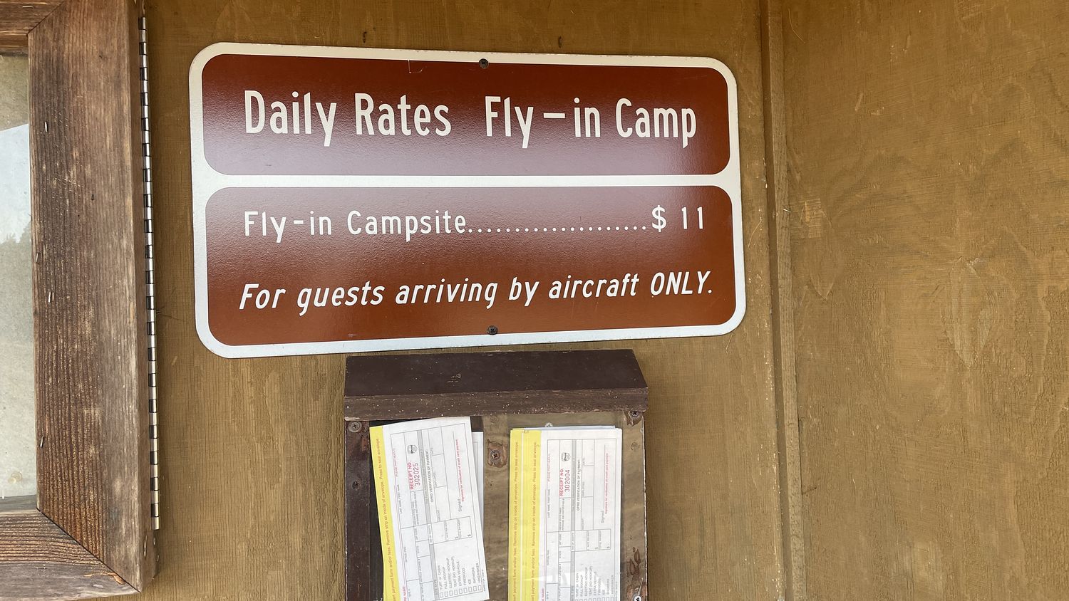
Fuel:
None
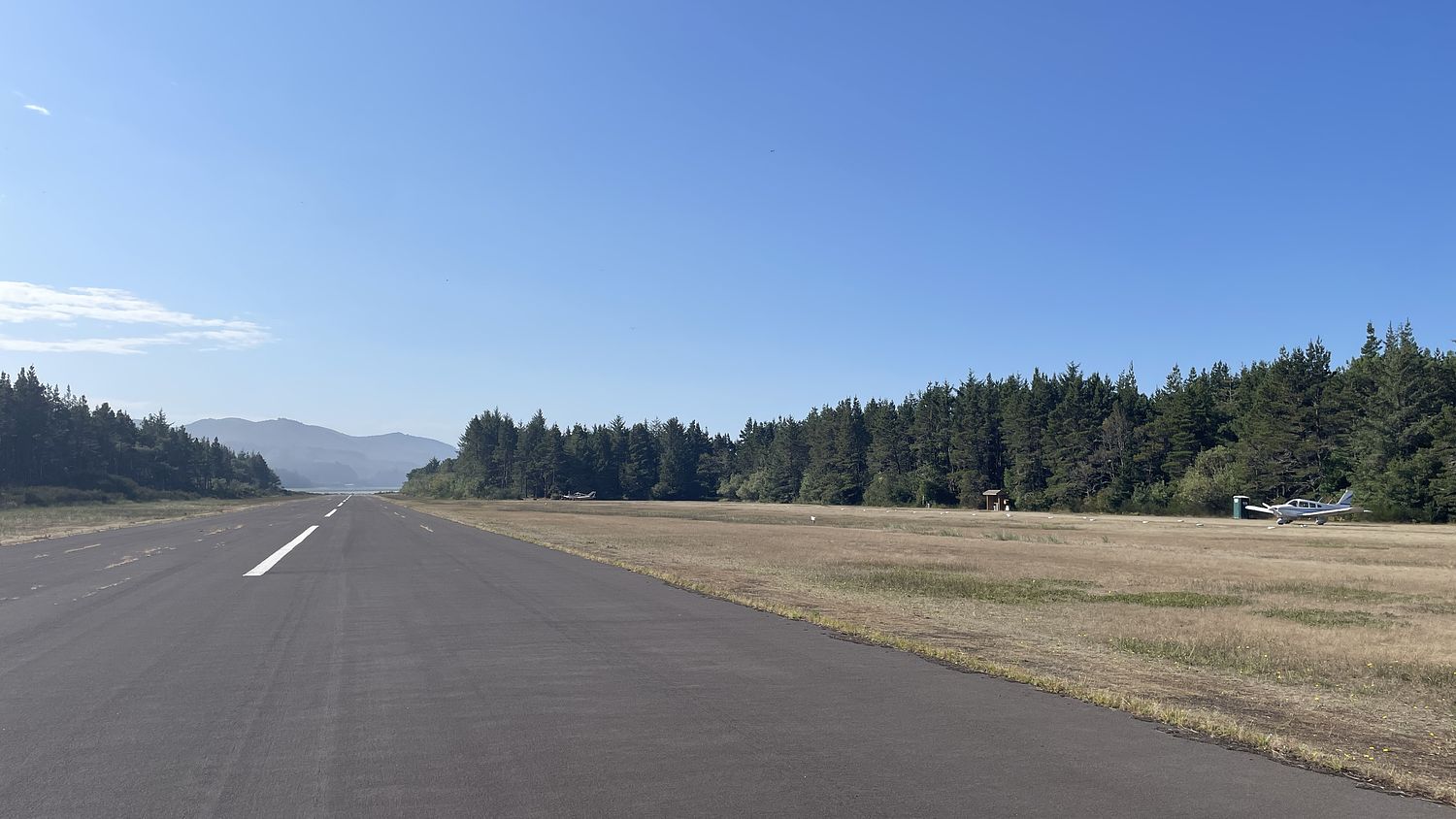
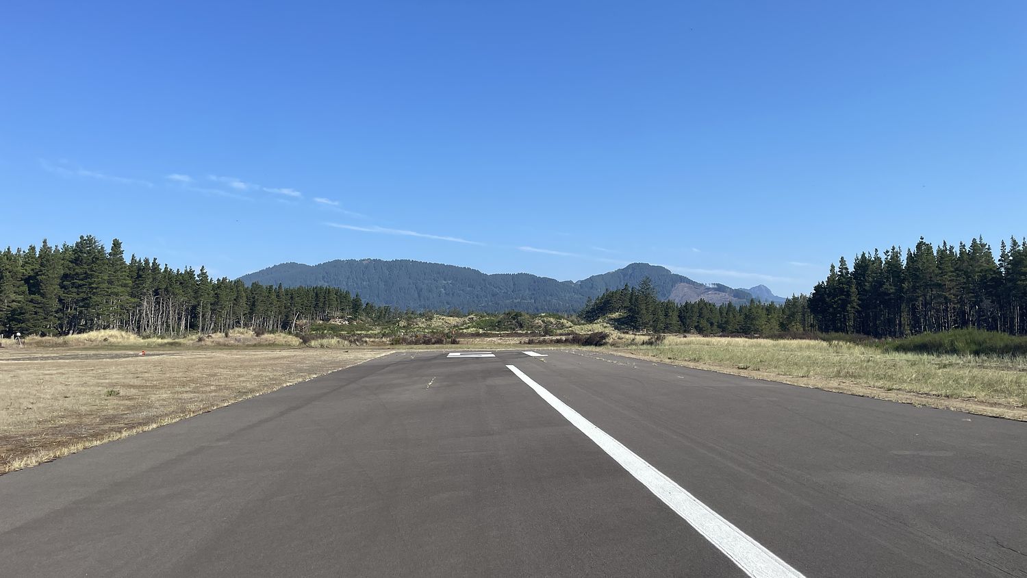
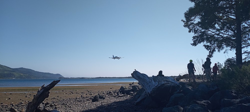
Runway 15/33:
2,350ft
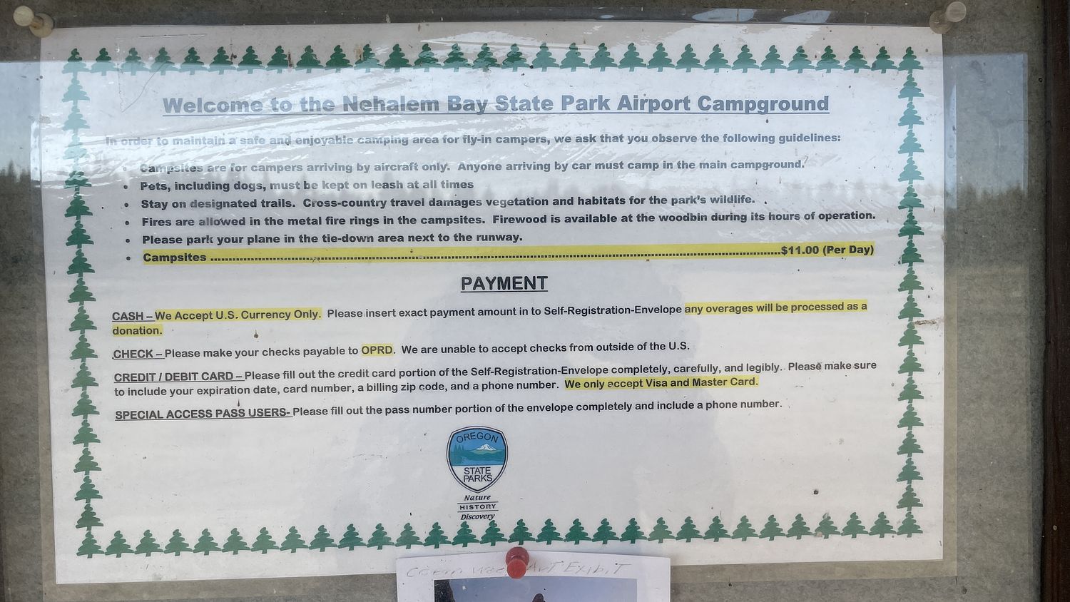
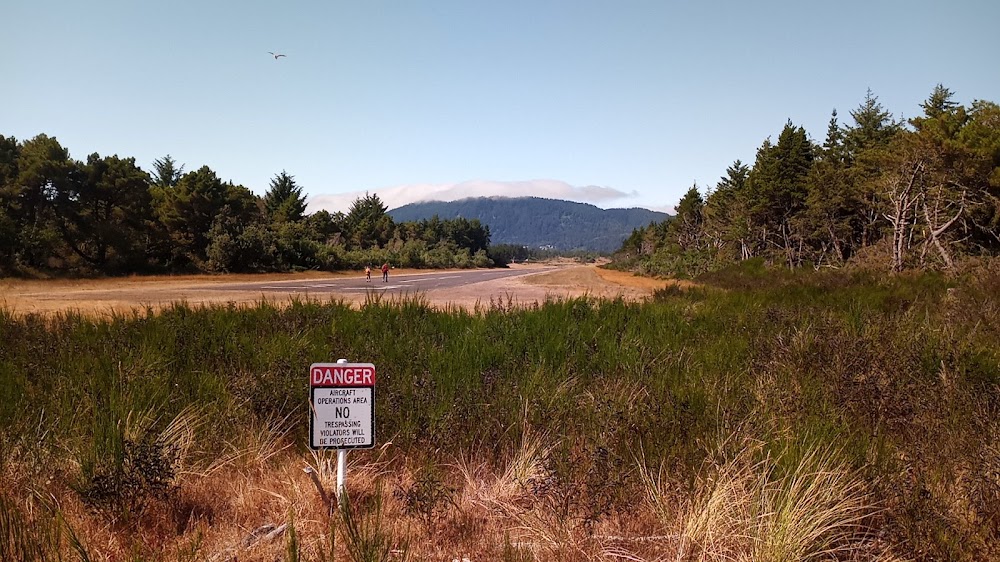
Access: Open to the public
Similar Airports


Click/tap to add an annotation marker to the map
No webcams added yet.
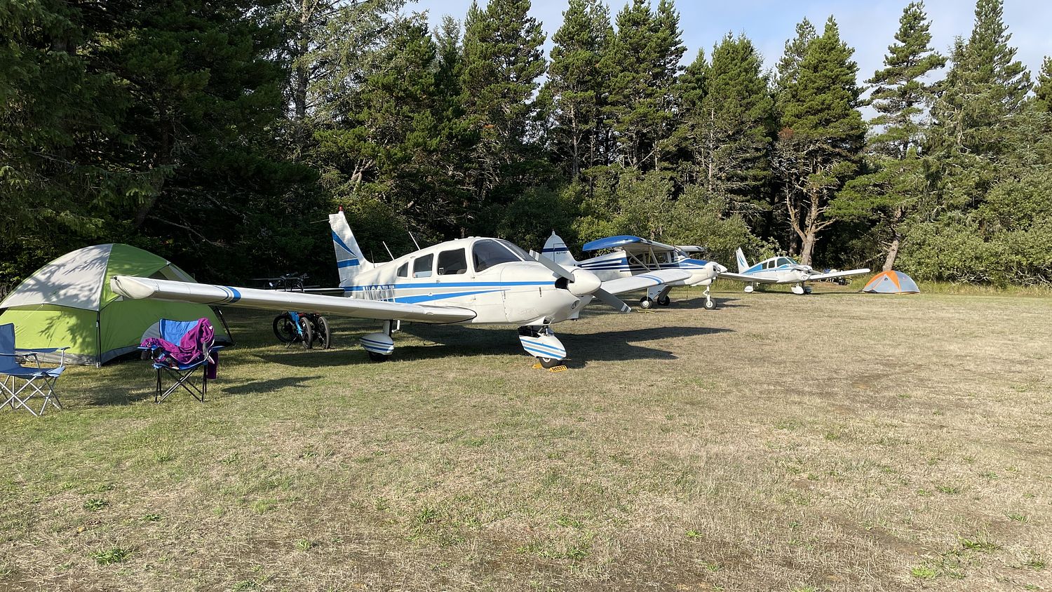
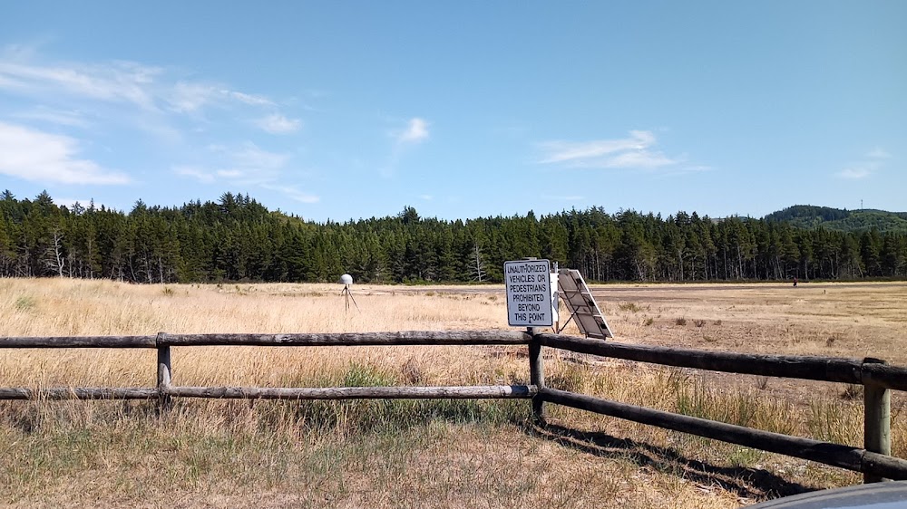
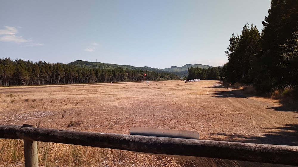
Remarks
- Estabd prior to 1959.
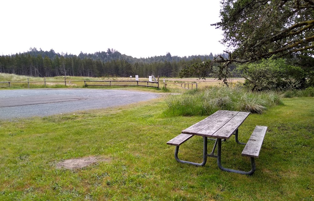
- 20' grvl twy to tiedown area.
- -2' ditch 90' fm cntrln west of rwy mrked w/signs.
- Wildlife invof ry.
- Un-paved taxiway and ramp
- For cd ctc seattle artcc at 253-351-3694.
- Sfc conds not rprtd.
- Non-std segmented circle; laid out with tires.
Comments