Pirep is a free, collaborative database of all public and private airports. All pilots are welcome to contribute their local knowledge to any airport, no registration required.
Public
Undocumented
Edit Tags
No upcoming events. Is anything happening here soon?
Airport Statistics
- Transient parking location
- Landing & tie-down fees
- Local flying clubs
Location:
Ashland, MT
Elevation:
2,909ft
Sectional:
Billings
Activation date:
Oct 1964
Fuel:
None
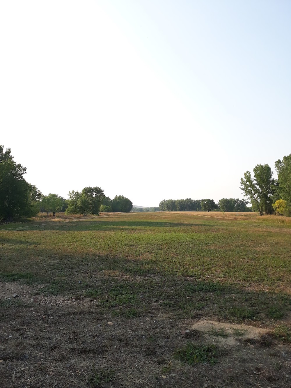
Runway 13/31:
3,830ft
Access: Open to the public
This airport is privately owned but open to the public.
Click/tap to add an annotation marker to the map
No webcams added yet.
Remarks
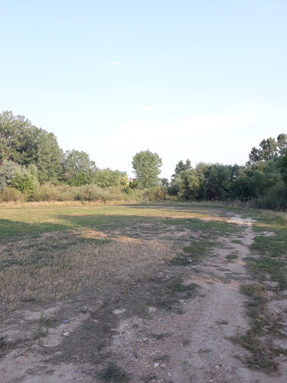
- Vehicles & horses invof ry.
- 100' lighted antenna 1/2 mile sw of arpt on hill.
- Numerous trees on e side of ry full length to +60 ft in transitional surfaces.
- Ry 31 -8' terrain dropoff beginning 35' fm eor with dense brush.
- Ry 13 has -10 ft terrain dropoff beginning 15 ft fm eor with dense brush creek.
- Ry 13/31 1 ft to 2 ft dirt berm on edge of ry and thlds.
- For cd ctc salt lake artcc at 801-320-2568.
- Provide own ropes.
Comments