Pirep is a free, collaborative database of all public and private airports. All pilots are welcome to contribute their local knowledge to any airport, no registration required.
Public
METAR / TAF
Edit Tags
No upcoming events. Is anything happening here soon?
Airport Statistics
- Crew car availability
- Transient parking location
- Landing & tie-down fees
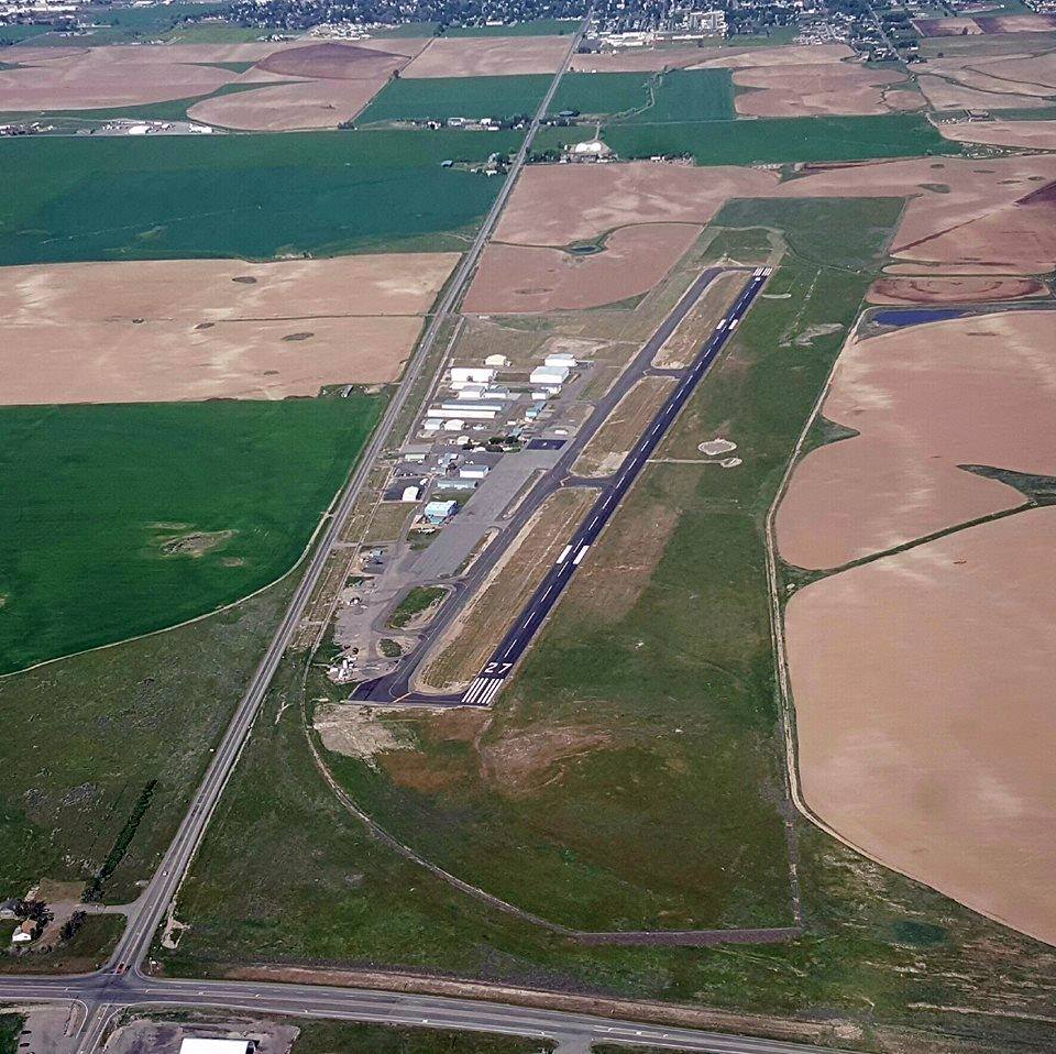
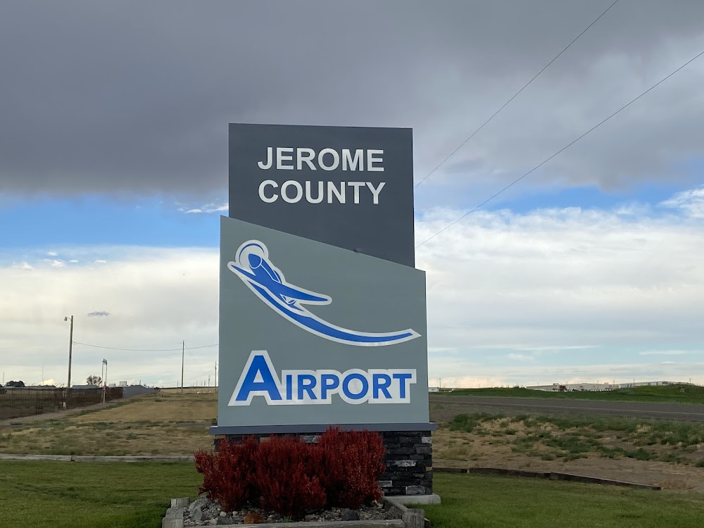
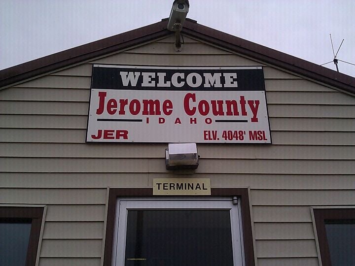
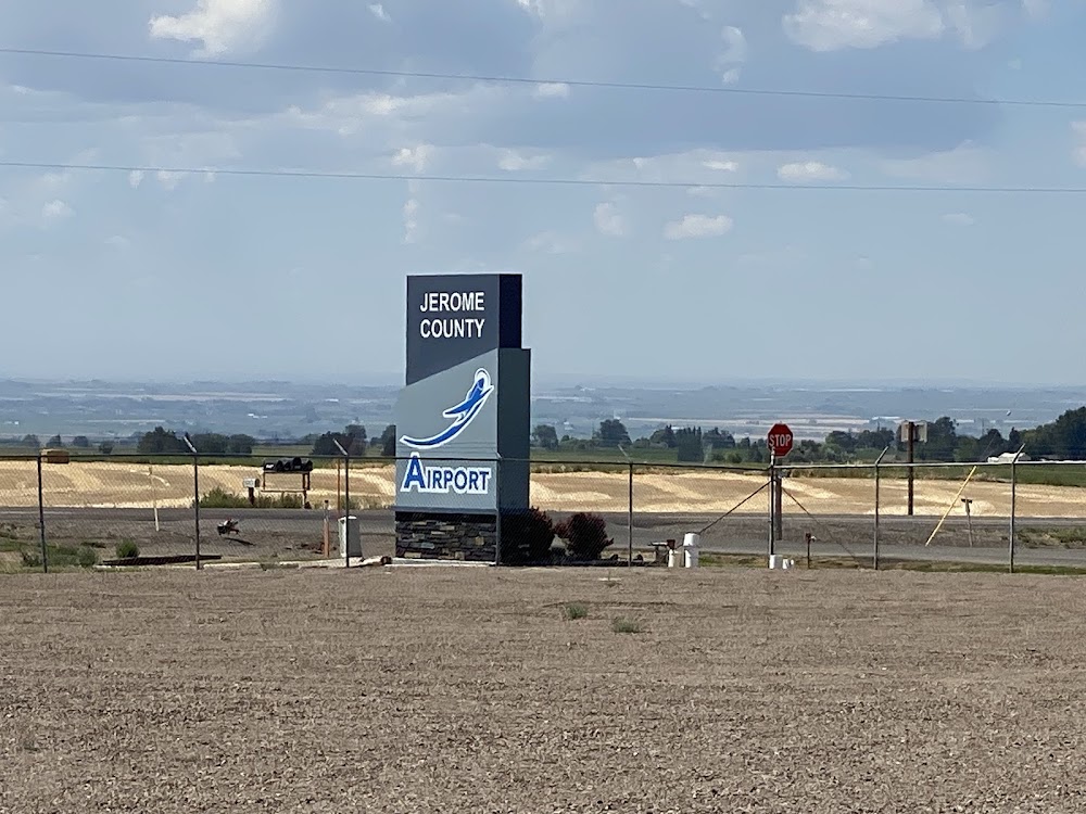
Location:
Jerome, ID
Elevation:
4,053ft
Sectional:
Salt Lake City
Activation date:
May 1941
Fuel:
100LL, A, A+ (prices)
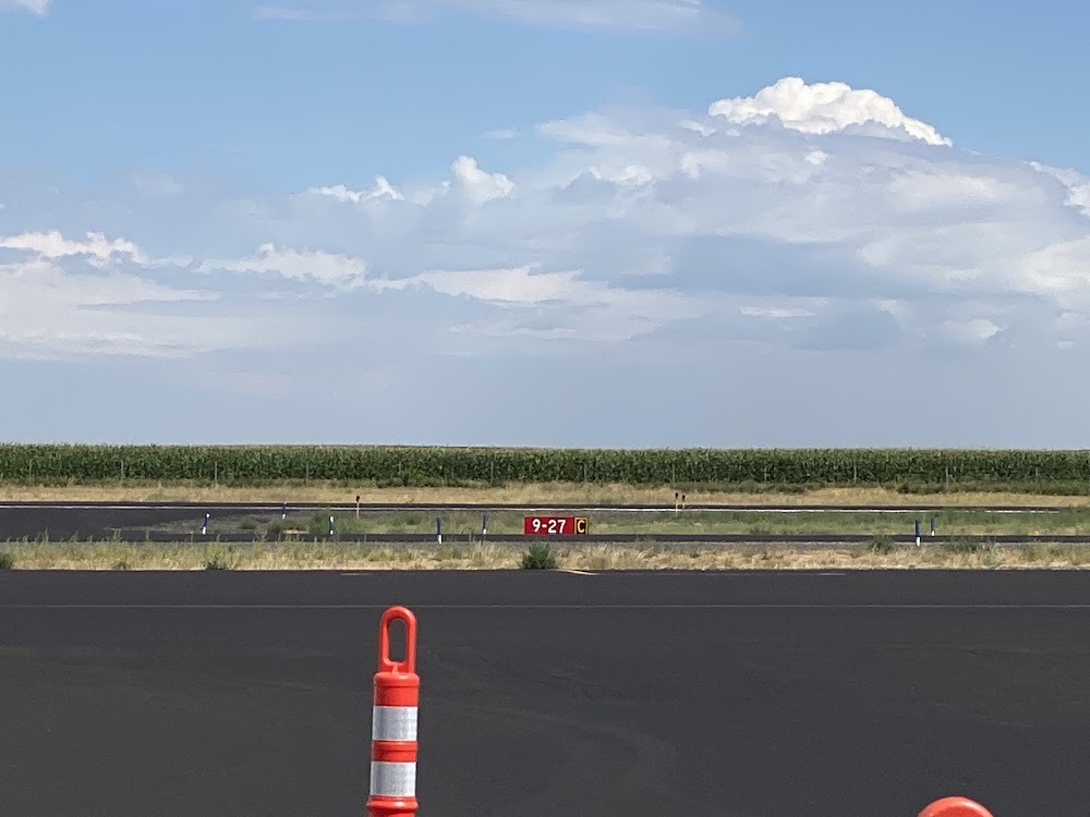
Runway 09/27:
5,002ft
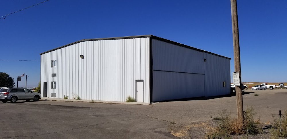
Access: Open to the public
Current Weather — VFR
-
Weather data is strictly informational and not for flight planning purposes.
-
METAR2026-07-09 22:53:00 MDT
Ceiling: Sky clear Wind: 170° @ 5kt Temperature: 75°F Dewpoint: 44°F Weather: N/A Visbility: 10SM Raw:METAR KJER 100453Z AUTO 17005KT 10SM CLR 24/07 A2998 RMK AO2 SLP108 T02440072 -
TAF2026-07-10 00:00:00 MDT – 2026-07-10 06:00:00 MDT
Ceiling: Sky clear Wind: Variable Weather: N/A Visbility: 6SM Clouds: @ ft Raw:TAF KJER 100520Z 1006/1106 VRB05KT P6SM SKC FM101200 08005KT P6SM SKC FM101800 VRB06KT P6SM FEW150 PROB30 1020/1022 VRB20G30KT -TSRA BKN150CB FM102200 27010KT P6SM SCT150 FM110400 VRB06KT P6SM SKC -
TAF2026-07-10 06:00:00 MDT – 2026-07-10 12:00:00 MDT
Ceiling: Sky clear Wind: 080° @ 5kt Weather: N/A Visbility: 6SM Clouds: @ ft Raw:TAF KJER 100520Z 1006/1106 VRB05KT P6SM SKC FM101200 08005KT P6SM SKC FM101800 VRB06KT P6SM FEW150 PROB30 1020/1022 VRB20G30KT -TSRA BKN150CB FM102200 27010KT P6SM SCT150 FM110400 VRB06KT P6SM SKC -
TAF2026-07-10 12:00:00 MDT – 2026-07-10 16:00:00 MDT
Ceiling: Sky clear Wind: Variable Weather: N/A Visbility: 6SM Clouds: Few @ 15,000ft Raw:TAF KJER 100520Z 1006/1106 VRB05KT P6SM SKC FM101200 08005KT P6SM SKC FM101800 VRB06KT P6SM FEW150 PROB30 1020/1022 VRB20G30KT -TSRA BKN150CB FM102200 27010KT P6SM SCT150 FM110400 VRB06KT P6SM SKC -
TAF2026-07-10 14:00:00 MDT – 2026-07-10 16:00:00 MDT
Ceiling: 15,000ft Wind: Variable, gusts 30kt Weather: Light thunderstorm rain Visbility: SM Clouds: Broken @ 15,000ft Raw:TAF KJER 100520Z 1006/1106 VRB05KT P6SM SKC FM101200 08005KT P6SM SKC FM101800 VRB06KT P6SM FEW150 PROB30 1020/1022 VRB20G30KT -TSRA BKN150CB FM102200 27010KT P6SM SCT150 FM110400 VRB06KT P6SM SKC -
TAF2026-07-10 16:00:00 MDT – 2026-07-10 22:00:00 MDT
Ceiling: Sky clear Wind: 270° @ 10kt Weather: N/A Visbility: 6SM Clouds: Scattered @ 15,000ft Raw:TAF KJER 100520Z 1006/1106 VRB05KT P6SM SKC FM101200 08005KT P6SM SKC FM101800 VRB06KT P6SM FEW150 PROB30 1020/1022 VRB20G30KT -TSRA BKN150CB FM102200 27010KT P6SM SCT150 FM110400 VRB06KT P6SM SKC -
TAF2026-07-10 22:00:00 MDT – 2026-07-11 00:00:00 MDT
Ceiling: Sky clear Wind: Variable Weather: N/A Visbility: 6SM Clouds: @ ft Raw:TAF KJER 100520Z 1006/1106 VRB05KT P6SM SKC FM101200 08005KT P6SM SKC FM101800 VRB06KT P6SM FEW150 PROB30 1020/1022 VRB20G30KT -TSRA BKN150CB FM102200 27010KT P6SM SCT150 FM110400 VRB06KT P6SM SKC
Click/tap to add an annotation marker to the map
No webcams added yet.
Remarks
- Estabd prior to 1959.
- Parl twy mkd with reflectors.
- 700 ft mult twrs 1.3 nm ene 2500 ft r of rwy 27 apch.
- For cd ctc twin falls apch at 208-734-7160, when apch clsd ctc salt lake artcc at 801-320-2568.
- Actvt mirl rwy 09/27 - ctaf 5 clicks.
- Arpt mgr cell (208) 308-3140
Comments