Pirep is a free, collaborative database of all public and private airports. All pilots are welcome to contribute their local knowledge to any airport, no registration required.

No upcoming events. Is anything happening here soon?
Last updated: 2025-04-21 16:41:41 EDT
Airport Statistics
- Landing & tie-down fees
- Local flying clubs
- Fuel pump location
Location:
London, KY
Elevation:
1,212ft
Sectional:
Cincinnati
Activation date:
Oct 1948
Fuel:
100LL, A+ (prices)
Runway 06/24:
5,750ft
Access: Open to the public
Similar Airports
Current Weather — VFR
-
Weather data is strictly informational and not for flight planning purposes.
-
METAR2026-07-21 12:53:00 EDT
Ceiling: Sky clear Wind: 240° @ 11kt, gusts 20kt Temperature: 87°F Dewpoint: 75°F Weather: N/A Visbility: 10SM Raw:METAR KLOZ 211653Z AUTO 24011G20KT 10SM CLR 31/24 A2991 RMK AO2 SLP114 T03060239 -
TAF2026-07-21 08:00:00 EDT – 2026-07-21 14:00:00 EDT
Ceiling: Sky clear Wind: 210° @ 5kt Weather: N/A Visbility: 6SM Clouds: Few @ 5,000ft, Scattered @ 20,000ft Raw:TAF KLOZ 211138Z 2112/2212 21005KT P6SM FEW050 SCT200 FM211800 23011G19KT P6SM SCT045 BKN080 PROB30 2121/2123 4SM -TSRA BKN045CB FM212300 23012G20KT 5SM -TSRA SCT015 OVC025CB FM220100 22009KT 6SM -SHRA SCT010 OVC025 PROB30 2201/2203 4SM -TSRA BKN010CB FM220300 25005KT 6SM -SHRA SCT015 BKN035 PROB30 2203/2207 4SM -TSRA BKN015CB FM220800 VRB03KT 2SM BR SCT003 BKN007 -
TAF2026-07-21 14:00:00 EDT – 2026-07-21 19:00:00 EDT
Ceiling: 8,000ft Wind: 230° @ 11kt, gusts 19kt Weather: N/A Visbility: 6SM Clouds: Scattered @ 4,500ft, Broken @ 8,000ft Raw:TAF KLOZ 211138Z 2112/2212 21005KT P6SM FEW050 SCT200 FM211800 23011G19KT P6SM SCT045 BKN080 PROB30 2121/2123 4SM -TSRA BKN045CB FM212300 23012G20KT 5SM -TSRA SCT015 OVC025CB FM220100 22009KT 6SM -SHRA SCT010 OVC025 PROB30 2201/2203 4SM -TSRA BKN010CB FM220300 25005KT 6SM -SHRA SCT015 BKN035 PROB30 2203/2207 4SM -TSRA BKN015CB FM220800 VRB03KT 2SM BR SCT003 BKN007 -
TAF2026-07-21 17:00:00 EDT – 2026-07-21 19:00:00 EDT
Ceiling: 4,500ft Wind: 000° @ kt Weather: Light thunderstorm rain Visbility: 4SM Clouds: Broken @ 4,500ft Raw:TAF KLOZ 211138Z 2112/2212 21005KT P6SM FEW050 SCT200 FM211800 23011G19KT P6SM SCT045 BKN080 PROB30 2121/2123 4SM -TSRA BKN045CB FM212300 23012G20KT 5SM -TSRA SCT015 OVC025CB FM220100 22009KT 6SM -SHRA SCT010 OVC025 PROB30 2201/2203 4SM -TSRA BKN010CB FM220300 25005KT 6SM -SHRA SCT015 BKN035 PROB30 2203/2207 4SM -TSRA BKN015CB FM220800 VRB03KT 2SM BR SCT003 BKN007 -
TAF2026-07-21 19:00:00 EDT – 2026-07-21 21:00:00 EDT
Ceiling: 2,500ft Wind: 230° @ 12kt, gusts 20kt Weather: Light thunderstorm rain Visbility: 5SM Clouds: Scattered @ 1,500ft, Overcast @ 2,500ft Raw:TAF KLOZ 211138Z 2112/2212 21005KT P6SM FEW050 SCT200 FM211800 23011G19KT P6SM SCT045 BKN080 PROB30 2121/2123 4SM -TSRA BKN045CB FM212300 23012G20KT 5SM -TSRA SCT015 OVC025CB FM220100 22009KT 6SM -SHRA SCT010 OVC025 PROB30 2201/2203 4SM -TSRA BKN010CB FM220300 25005KT 6SM -SHRA SCT015 BKN035 PROB30 2203/2207 4SM -TSRA BKN015CB FM220800 VRB03KT 2SM BR SCT003 BKN007 -
TAF2026-07-21 21:00:00 EDT – 2026-07-21 23:00:00 EDT
Ceiling: 2,500ft Wind: 220° @ 9kt Weather: Light rain showers Visbility: 6SM Clouds: Scattered @ 1,000ft, Overcast @ 2,500ft Raw:TAF KLOZ 211138Z 2112/2212 21005KT P6SM FEW050 SCT200 FM211800 23011G19KT P6SM SCT045 BKN080 PROB30 2121/2123 4SM -TSRA BKN045CB FM212300 23012G20KT 5SM -TSRA SCT015 OVC025CB FM220100 22009KT 6SM -SHRA SCT010 OVC025 PROB30 2201/2203 4SM -TSRA BKN010CB FM220300 25005KT 6SM -SHRA SCT015 BKN035 PROB30 2203/2207 4SM -TSRA BKN015CB FM220800 VRB03KT 2SM BR SCT003 BKN007 -
TAF2026-07-21 21:00:00 EDT – 2026-07-21 23:00:00 EDT
Ceiling: 1,000ft Wind: 000° @ kt Weather: Light thunderstorm rain Visbility: 4SM Clouds: Broken @ 1,000ft Raw:TAF KLOZ 211138Z 2112/2212 21005KT P6SM FEW050 SCT200 FM211800 23011G19KT P6SM SCT045 BKN080 PROB30 2121/2123 4SM -TSRA BKN045CB FM212300 23012G20KT 5SM -TSRA SCT015 OVC025CB FM220100 22009KT 6SM -SHRA SCT010 OVC025 PROB30 2201/2203 4SM -TSRA BKN010CB FM220300 25005KT 6SM -SHRA SCT015 BKN035 PROB30 2203/2207 4SM -TSRA BKN015CB FM220800 VRB03KT 2SM BR SCT003 BKN007 -
TAF2026-07-21 23:00:00 EDT – 2026-07-22 04:00:00 EDT
Ceiling: 3,500ft Wind: 250° @ 5kt Weather: Light rain showers Visbility: 6SM Clouds: Scattered @ 1,500ft, Broken @ 3,500ft Raw:TAF KLOZ 211138Z 2112/2212 21005KT P6SM FEW050 SCT200 FM211800 23011G19KT P6SM SCT045 BKN080 PROB30 2121/2123 4SM -TSRA BKN045CB FM212300 23012G20KT 5SM -TSRA SCT015 OVC025CB FM220100 22009KT 6SM -SHRA SCT010 OVC025 PROB30 2201/2203 4SM -TSRA BKN010CB FM220300 25005KT 6SM -SHRA SCT015 BKN035 PROB30 2203/2207 4SM -TSRA BKN015CB FM220800 VRB03KT 2SM BR SCT003 BKN007 -
TAF2026-07-21 23:00:00 EDT – 2026-07-22 03:00:00 EDT
Ceiling: 1,500ft Wind: 000° @ kt Weather: Light thunderstorm rain Visbility: 4SM Clouds: Broken @ 1,500ft Raw:TAF KLOZ 211138Z 2112/2212 21005KT P6SM FEW050 SCT200 FM211800 23011G19KT P6SM SCT045 BKN080 PROB30 2121/2123 4SM -TSRA BKN045CB FM212300 23012G20KT 5SM -TSRA SCT015 OVC025CB FM220100 22009KT 6SM -SHRA SCT010 OVC025 PROB30 2201/2203 4SM -TSRA BKN010CB FM220300 25005KT 6SM -SHRA SCT015 BKN035 PROB30 2203/2207 4SM -TSRA BKN015CB FM220800 VRB03KT 2SM BR SCT003 BKN007 -
TAF2026-07-22 04:00:00 EDT – 2026-07-22 08:00:00 EDT
Ceiling: 700ft Wind: Variable Weather: Mist Visbility: 2SM Clouds: Scattered @ 300ft, Broken @ 700ft Raw:TAF KLOZ 211138Z 2112/2212 21005KT P6SM FEW050 SCT200 FM211800 23011G19KT P6SM SCT045 BKN080 PROB30 2121/2123 4SM -TSRA BKN045CB FM212300 23012G20KT 5SM -TSRA SCT015 OVC025CB FM220100 22009KT 6SM -SHRA SCT010 OVC025 PROB30 2201/2203 4SM -TSRA BKN010CB FM220300 25005KT 6SM -SHRA SCT015 BKN035 PROB30 2203/2207 4SM -TSRA BKN015CB FM220800 VRB03KT 2SM BR SCT003 BKN007
Click/tap to add an annotation marker to the map
No webcams added yet.
Remarks
- This airport has been surveyed by the national geodetic survey.
- +existed prior to 1959.
- Trees both side sw end of rwy violates 7:1 trans.
- For cd if una to ctc on fss freq, ctc indianapolis artcc at 317-247-2411.
- Actvt reil rwy 06 & 24; mirl rwy 06/24 - ctaf. papi rwy 06 & 24 opr consly.
- Trees sw end of rwy both sides violates 7:1 trsn sfc.
- Apch slope 16:1 to dthr.
- Scty 606-330-5069 emerg poc matt 606-260-7825
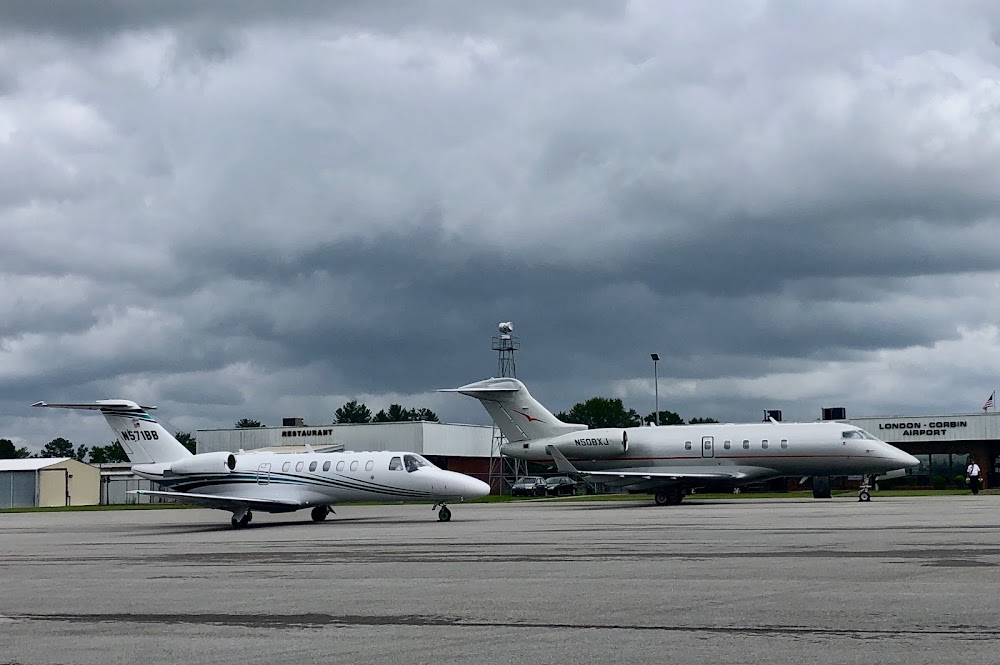
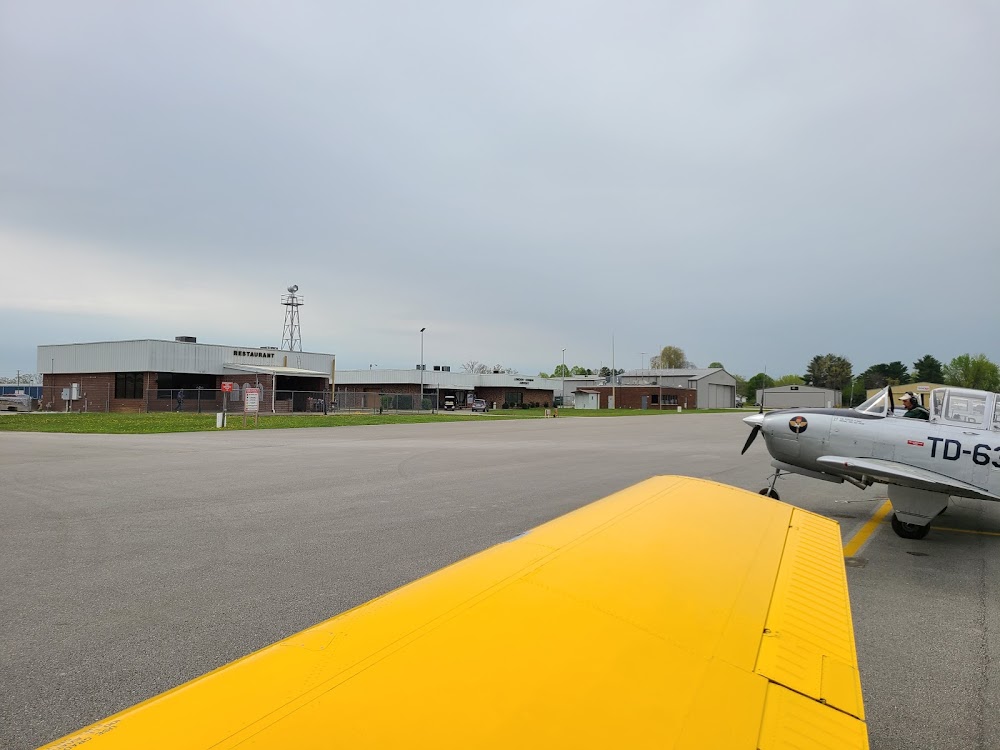
The on-site restaurant has closed down