Pirep is a free, collaborative database of all public and private airports. All pilots are welcome to contribute their local knowledge to any airport, no registration required.
No upcoming events. Is anything happening here soon?
Last updated: 2023-05-15 08:30:49 PDT
Last updated: 2023-11-14 19:58:15 PST
Airport Statistics
- Fuel pump location
- Webcam links
- Crew car availability
Location:
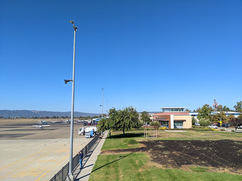
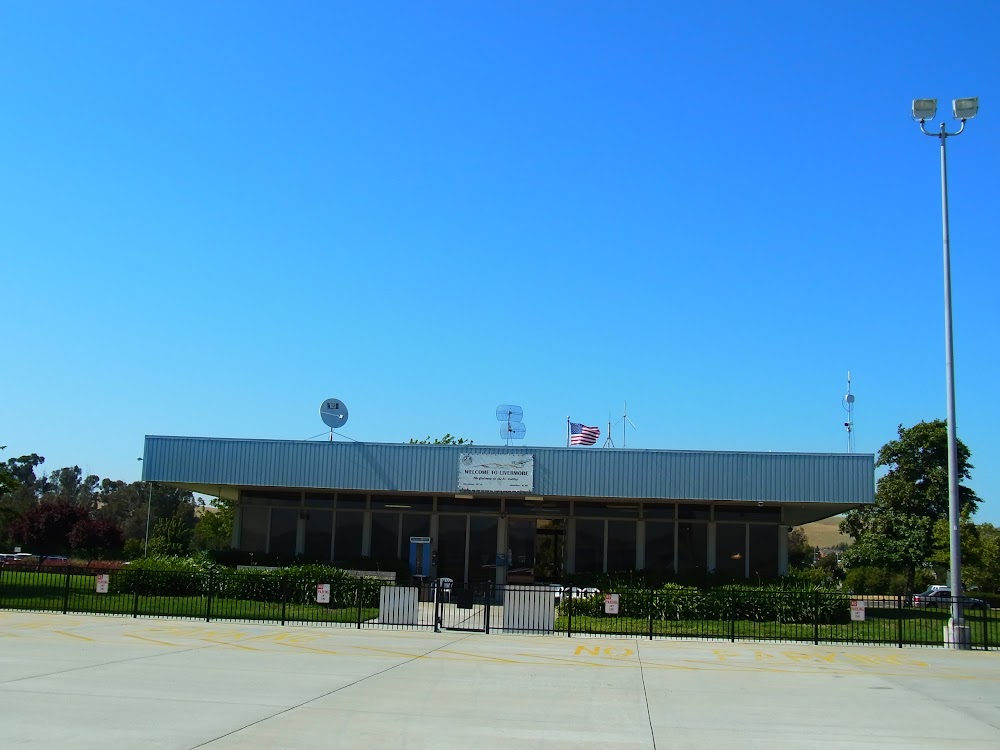
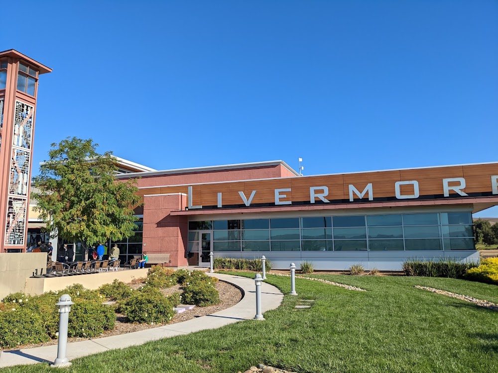
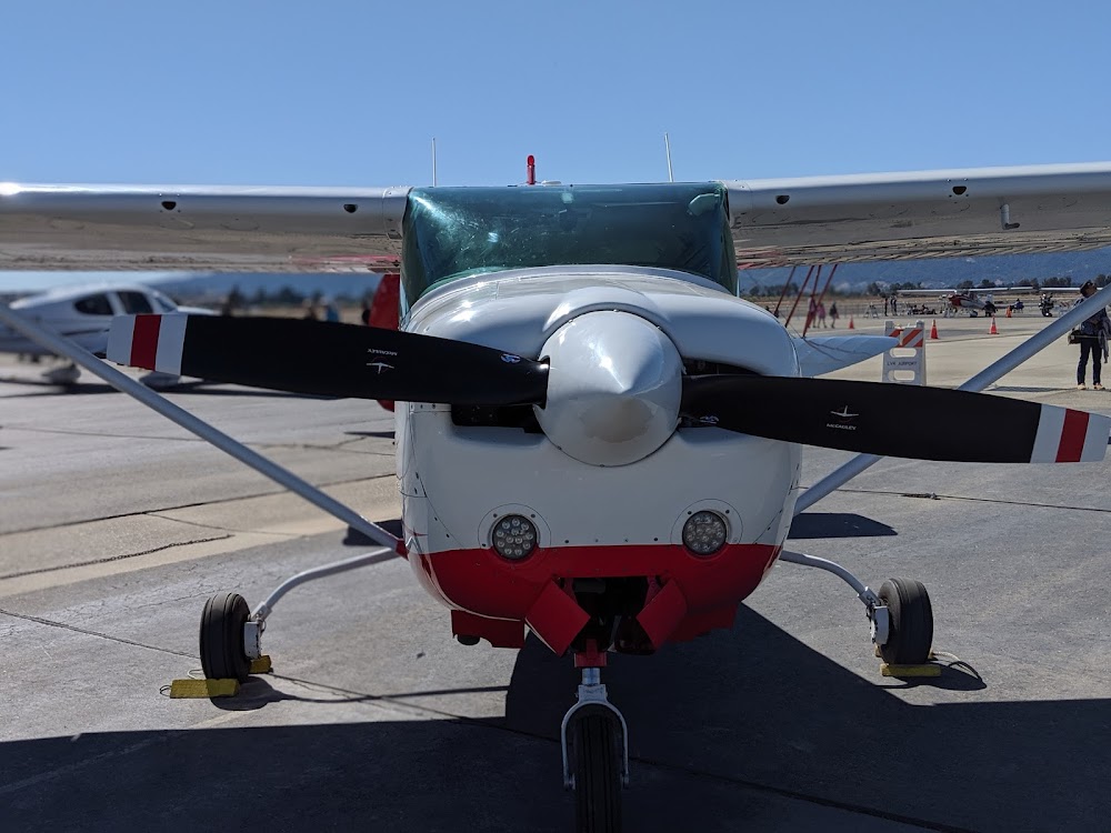
Livermore, CA
Elevation:
399ft
Sectional:
San Francisco
Activation date:
Dec 1965
Fuel:
100LL, A (prices)
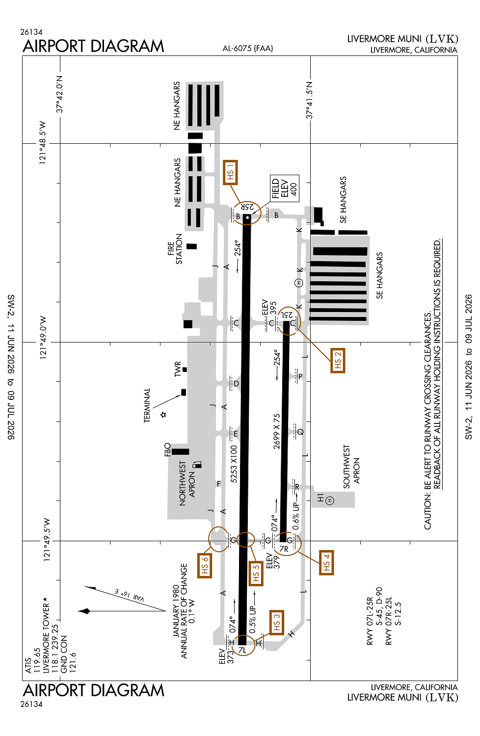
Runway 07L/25R:
5,253ft
Runway 07R/25L:
2,699ft
Runway H1:
24ft
Access: Open to the public
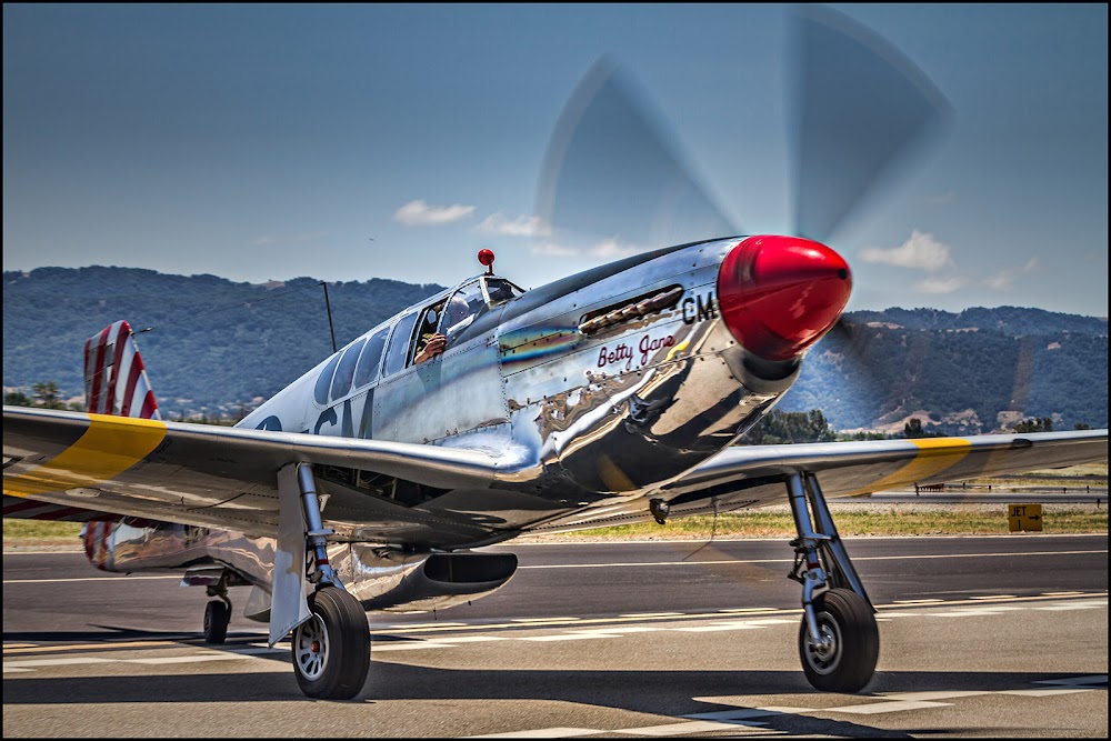
Similar Airports
Current Weather — VFR
-
Weather data is strictly informational and not for flight planning purposes.
-
METAR2026-07-24 11:53:00 PDT
Ceiling: Sky clear Wind: Variable Temperature: 77°F Dewpoint: 53°F Weather: N/A Visbility: 10SM Raw:METAR KLVK 241853Z VRB03KT 10SM CLR 25/12 A2997 RMK AO2 SLP143 T02500122 -
TAF2026-07-24 11:00:00 PDT – 2026-07-24 15:00:00 PDT
Ceiling: Sky clear Wind: 270° @ 6kt Weather: N/A Visbility: 6SM Clouds: @ ft Raw:TAF KLVK 241728Z 2418/2518 27006KT P6SM SKC FM242200 29015KT P6SM SKC FM250200 28009KT P6SM SKC -
TAF2026-07-24 15:00:00 PDT – 2026-07-24 19:00:00 PDT
Ceiling: Sky clear Wind: 290° @ 15kt Weather: N/A Visbility: 6SM Clouds: @ ft Raw:TAF KLVK 241728Z 2418/2518 27006KT P6SM SKC FM242200 29015KT P6SM SKC FM250200 28009KT P6SM SKC -
TAF2026-07-24 19:00:00 PDT – 2026-07-25 11:00:00 PDT
Ceiling: Sky clear Wind: 280° @ 9kt Weather: N/A Visbility: 6SM Clouds: @ ft Raw:TAF KLVK 241728Z 2418/2518 27006KT P6SM SKC FM242200 29015KT P6SM SKC FM250200 28009KT P6SM SKC
Click/tap to add an annotation marker to the map
No webcams added yet.
Remarks
- Be alert to considerable bird activity on & in vicinity of arpt.
- Do not mistake parallel taxiway n of rwy 25r/7l as rwy. noise sensitive areas 3/4 mile east & 2 miles w of arpt.
- Effective ry gradient ry 07l 0.52% up; ry 07r 0.59% up.
- For cd when atct is clsd ctc norcal apch at 916-361-0516.
- Pls obs "voluntary restraint from night flying 2200l-0600l policy."
Comments