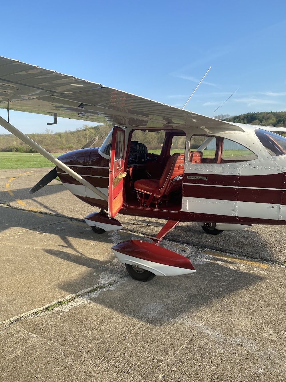
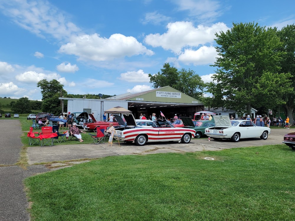
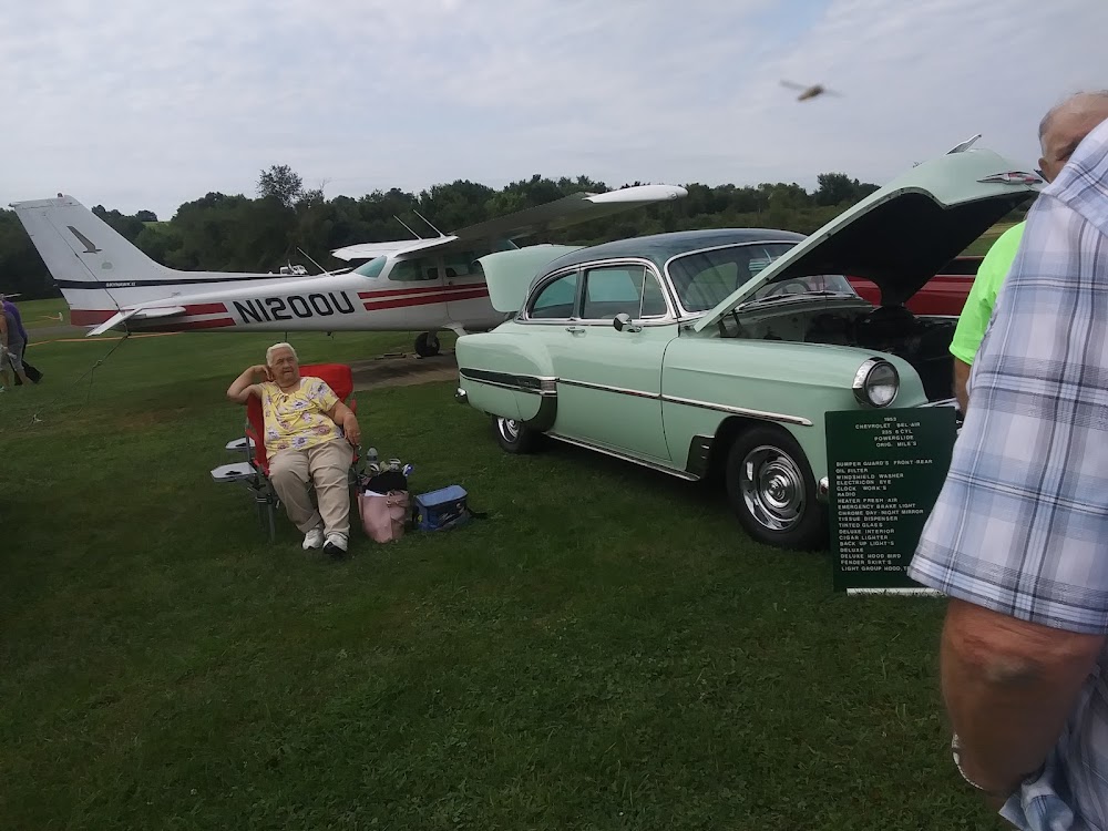
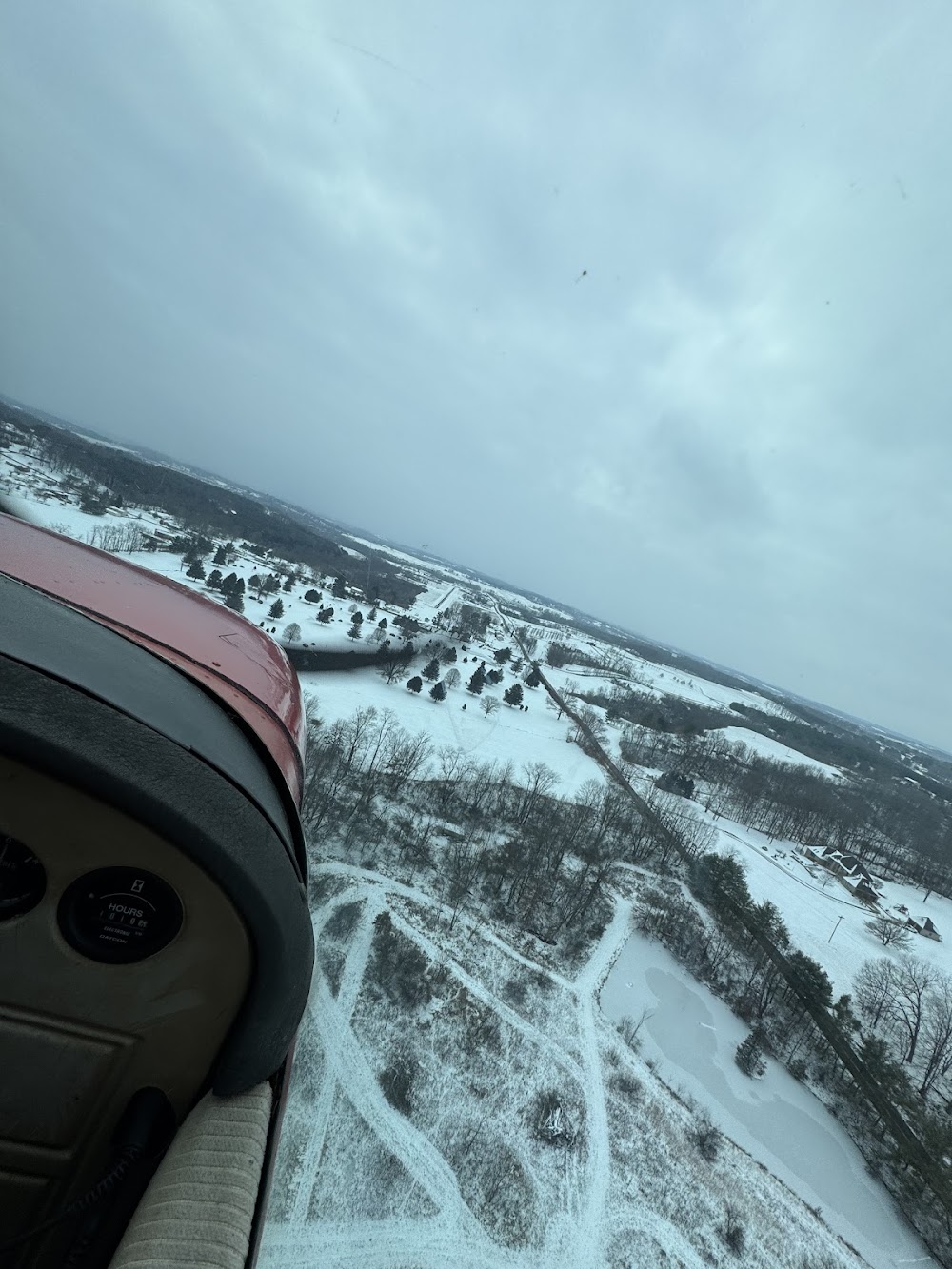
Pirep is a free, collaborative database of all public and private airports. All pilots are welcome to contribute their local knowledge to any airport, no registration required.


Public
Undocumented
Edit Tags
No upcoming events. Is anything happening here soon?
Airport Statistics
- Airport map annotations
- Transient parking location
- Webcam links
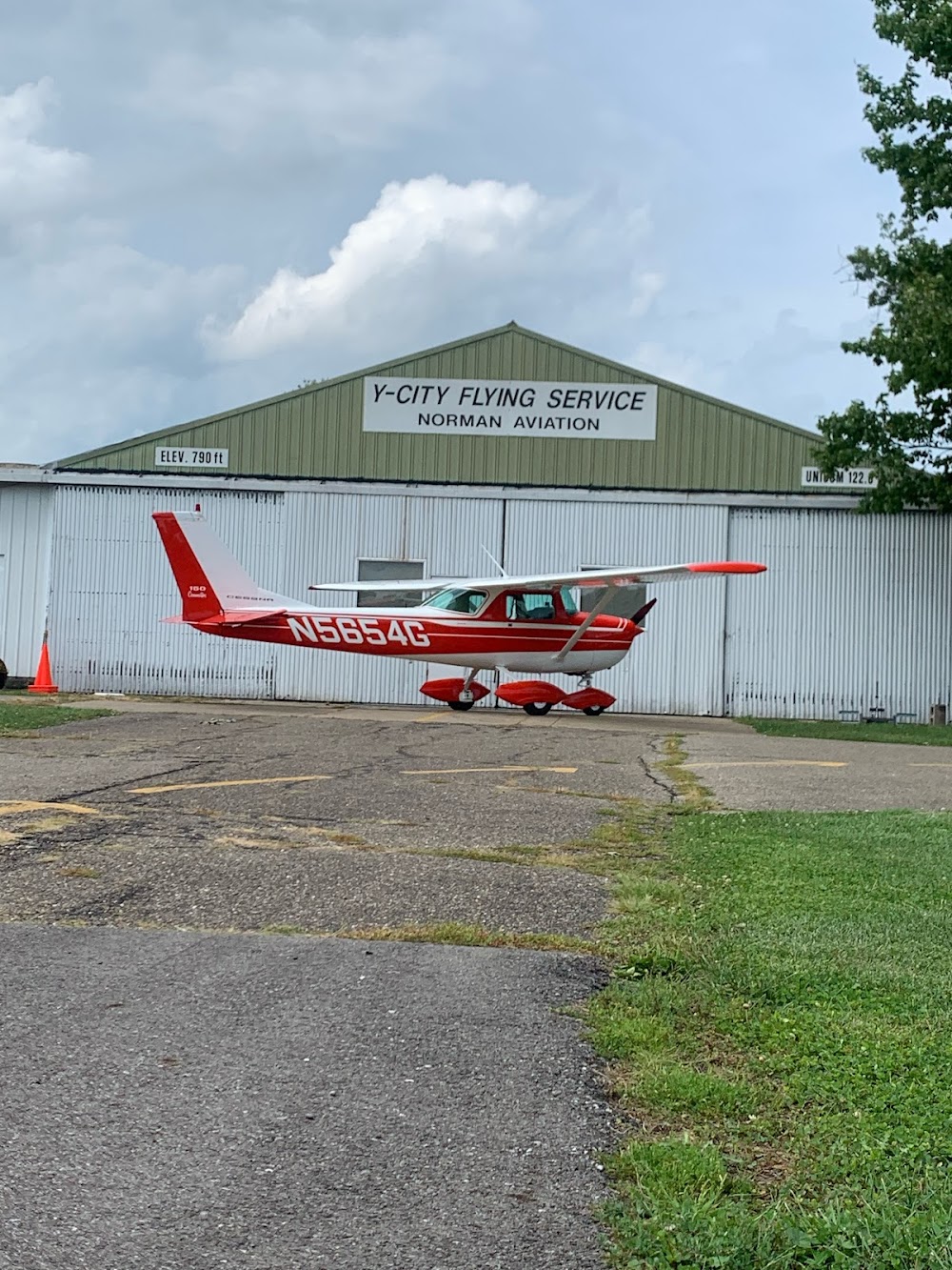
Location:
Zanesville, OH
Elevation:
790ft
Sectional:
Detroit
Activation date:
Jul 1971
Fuel:
100LL (prices)
Runway 10/28:
3,100ft
Access: Open to the public
This airport is privately owned but open to the public.
Click/tap to add an annotation marker to the map
No webcams added yet.
Remarks
- Vfr only.
- Actvt rotg bcn - ctaf (key mike 3x slowly).
- Deer, birds, & otr wildlife on & invof arpt.
- Rwy 10 first 280 ft of pavement is a twy.
- 280 ft twy extds byd rwy on west end.
- Actvt nstd lirl rwy 10/28 - ctaf (key mike 3x slowly).
- Unatndd major hols.
- Owner resides adj to arpt.
Comments