Pirep is a free, collaborative database of all public and private airports. All pilots are welcome to contribute their local knowledge to any airport, no registration required.
This airport is temporarily locked. Edits may not be made while locked.
Undocumented
METAR / TAF
Edit Tags
No upcoming events. Is anything happening here soon?
Airport Statistics
- Fuel pump location
- Transient parking location
- Crew car availability
Location:
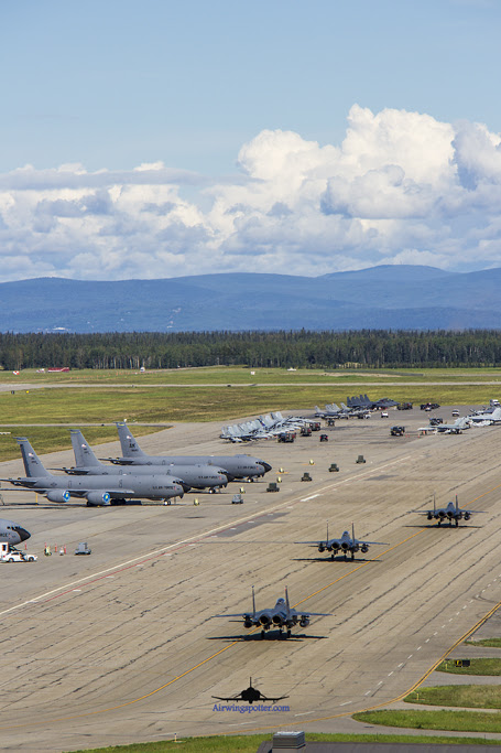
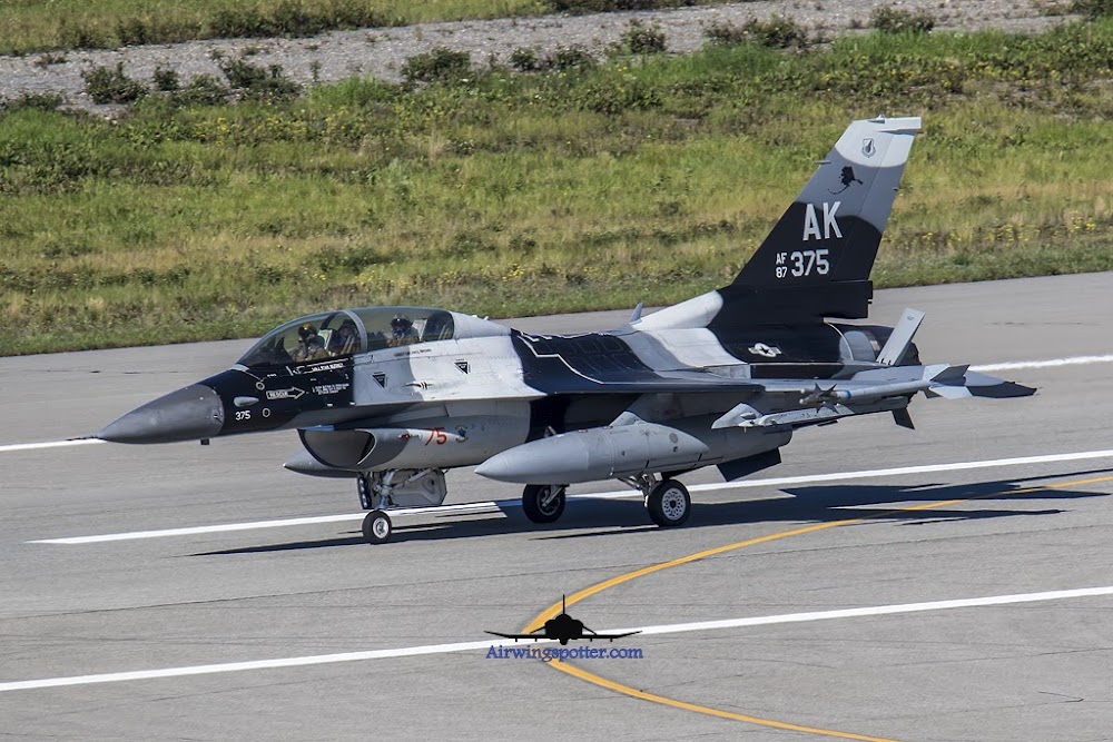
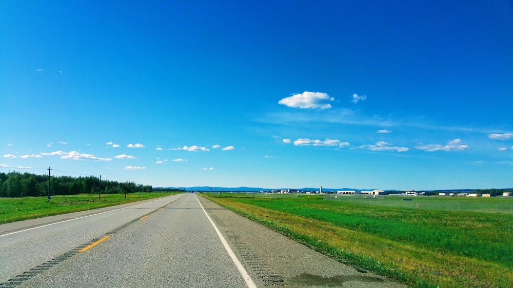
Fairbanks, AK
Elevation:
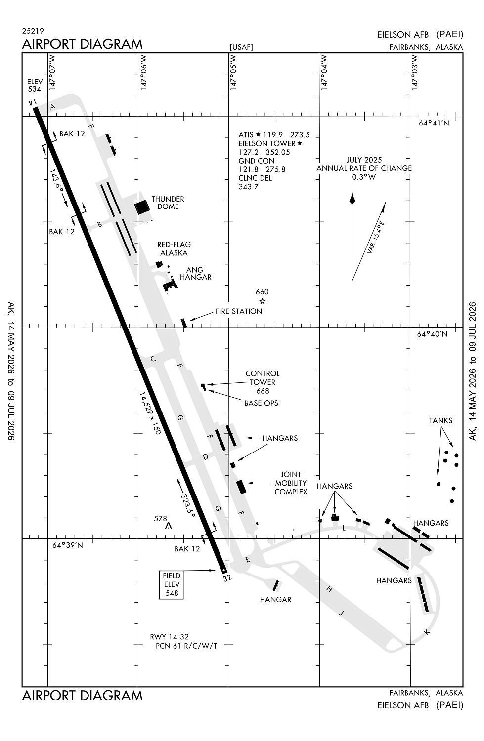
547ft
Sectional:
Fairbanks
Activation date:
Apr 1949
Fuel:
None
Runway 14/32:
14,530ft
Access: Private to everyone
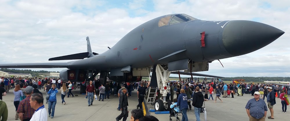
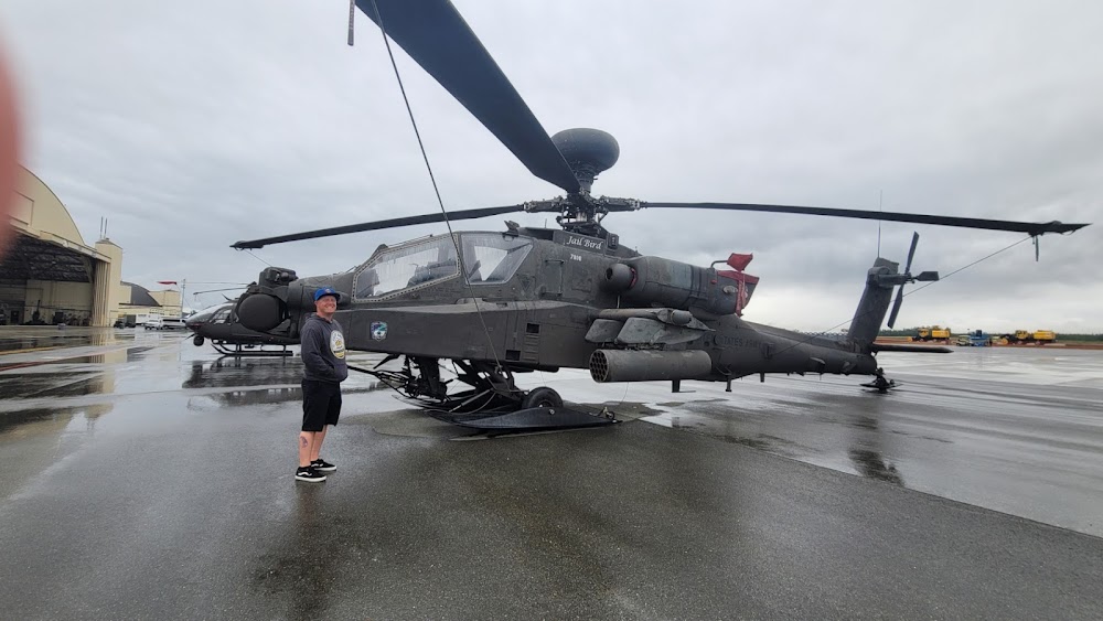
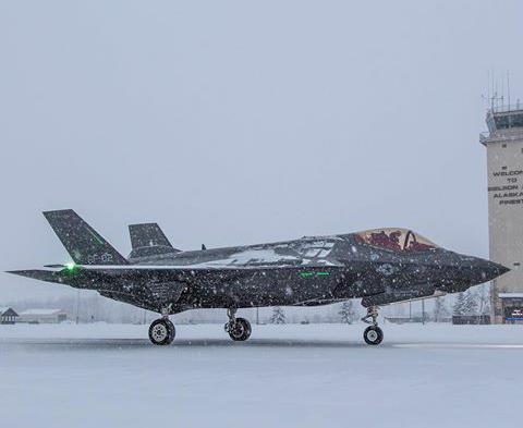
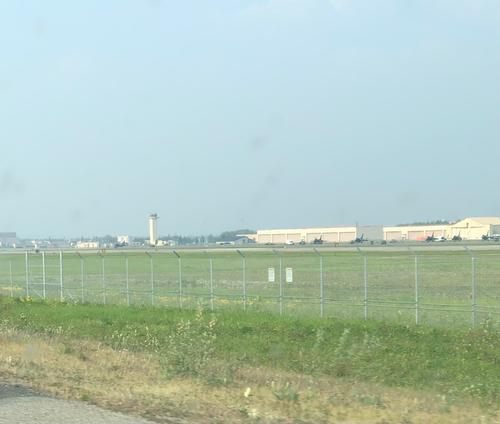
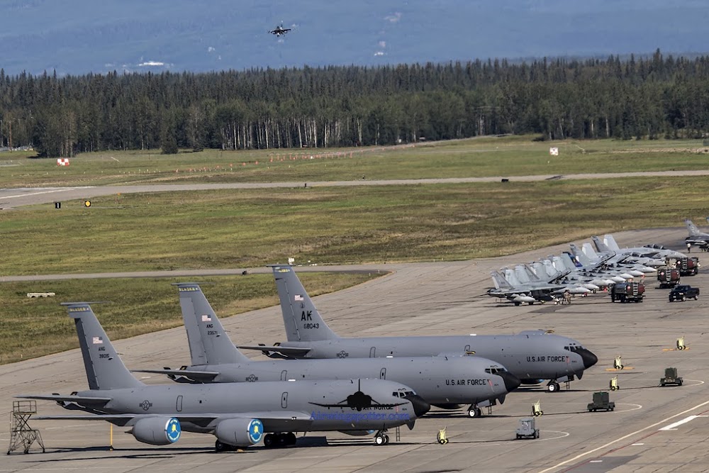
This is a military facility.
Current Weather — VFR
-
Weather data is strictly informational and not for flight planning purposes.
-
METAR2026-07-21 05:00:00 AKDT
Ceiling: 6,000ft Wind: Calm Temperature: 55°F Dewpoint: 53°F Weather: N/A Visbility: 10SM Clouds: Broken @ 6,000ft, Overcast @ 8,000ft Raw:SPECI PAEI 211300Z AUTO 00000KT 10SM BKN060 OVC080 13/12 A2996 RMK AO2 LTG DSNT N SLP147 $ -
TAF2026-07-12 14:00:00 AKDT – 2026-07-13 02:00:00 AKDT
Ceiling: 12,000ft Wind: Variable Weather: N/A Visbility: 6SM Clouds: Scattered @ 8,000ft, Broken @ 12,000ft Raw:TAF AMD PAEI 122220Z 1222/1404 VRB06KT 9999 SCT080 BKN120 QNH2971INS TEMPO 1301/1303 -SHRA BECMG 1310/1311 18009KT 9999 VCSH BKN070 BKN100 QNH2978INS TEMPO 1312/1315 -SHRA BKN060 OVC100 BECMG 1315/1316 VRB06KT 9999 NSW BKN120 QNH2991INS TX22/1301Z TN10/1312Z LAST NO AMDS AFT 1222 NEXT 2706 -
TAF2026-07-12 17:00:00 AKDT – 2026-07-12 19:00:00 AKDT
Ceiling: Sky clear Wind: 000° @ kt Weather: Light rain showers Visbility: SM Raw:TAF AMD PAEI 122220Z 1222/1404 VRB06KT 9999 SCT080 BKN120 QNH2971INS TEMPO 1301/1303 -SHRA BECMG 1310/1311 18009KT 9999 VCSH BKN070 BKN100 QNH2978INS TEMPO 1312/1315 -SHRA BKN060 OVC100 BECMG 1315/1316 VRB06KT 9999 NSW BKN120 QNH2991INS TX22/1301Z TN10/1312Z LAST NO AMDS AFT 1222 NEXT 2706 -
TAF2026-07-13 02:00:00 AKDT – 2026-07-13 07:00:00 AKDT
Ceiling: 7,000ft Wind: 180° @ 9kt Weather: Showers in vicinity Visbility: 6SM Clouds: Broken @ 7,000ft, Broken @ 10,000ft Raw:TAF AMD PAEI 122220Z 1222/1404 VRB06KT 9999 SCT080 BKN120 QNH2971INS TEMPO 1301/1303 -SHRA BECMG 1310/1311 18009KT 9999 VCSH BKN070 BKN100 QNH2978INS TEMPO 1312/1315 -SHRA BKN060 OVC100 BECMG 1315/1316 VRB06KT 9999 NSW BKN120 QNH2991INS TX22/1301Z TN10/1312Z LAST NO AMDS AFT 1222 NEXT 2706 -
TAF2026-07-13 04:00:00 AKDT – 2026-07-13 07:00:00 AKDT
Ceiling: 6,000ft Wind: 000° @ kt Weather: Light rain showers Visbility: SM Clouds: Broken @ 6,000ft, Overcast @ 10,000ft Raw:TAF AMD PAEI 122220Z 1222/1404 VRB06KT 9999 SCT080 BKN120 QNH2971INS TEMPO 1301/1303 -SHRA BECMG 1310/1311 18009KT 9999 VCSH BKN070 BKN100 QNH2978INS TEMPO 1312/1315 -SHRA BKN060 OVC100 BECMG 1315/1316 VRB06KT 9999 NSW BKN120 QNH2991INS TX22/1301Z TN10/1312Z LAST NO AMDS AFT 1222 NEXT 2706 -
TAF2026-07-13 07:00:00 AKDT – 2026-07-13 20:00:00 AKDT
Ceiling: 12,000ft Wind: Variable Weather: N/A Visbility: 6SM Clouds: Broken @ 12,000ft Raw:TAF AMD PAEI 122220Z 1222/1404 VRB06KT 9999 SCT080 BKN120 QNH2971INS TEMPO 1301/1303 -SHRA BECMG 1310/1311 18009KT 9999 VCSH BKN070 BKN100 QNH2978INS TEMPO 1312/1315 -SHRA BKN060 OVC100 BECMG 1315/1316 VRB06KT 9999 NSW BKN120 QNH2991INS TX22/1301Z TN10/1312Z LAST NO AMDS AFT 1222 NEXT 2706
Click/tap to add an annotation marker to the map
No webcams added yet.
Remarks
- Ppr rqrd or emerg.
- Trans alert svc avbl h24.
- Crypto mtrl tsnt crew not avbl. vip 30 min ppr with chock time - afld mgmt. ltd fleet svc. no potable water.
- Ovhd tfc pat alt 2000 ft msl; rectangular tfc pat alt 1500 ft msl.
- Avoid small arms range 2.5 nm e of rwy 32 end; wkend 1700-0100z++; sfc - 3500 ft agl.
Comments