Pirep is a free, collaborative database of all public and private airports. All pilots are welcome to contribute their local knowledge to any airport, no registration required.
Public
Undocumented
Edit Tags
No upcoming events. Is anything happening here soon?
Airport Statistics
- Fuel pump location
- General description
- Crew car availability
Location:
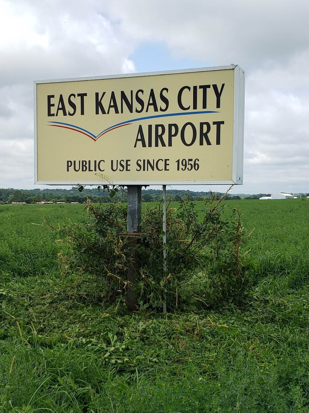
Grain Valley, MO
Elevation:
835ft
Sectional:
Kansas City
Activation date:
Sep 1956
Fuel:
100LL
Runway 09/27:
4,507ft
Runway 05/23:
2,206ft
Access: Open to the public
This airport is privately owned but open to the public.
Click/tap to add an annotation marker to the map
No webcams added yet.
Remarks
- E111 prvdd e/w rwy is abdnd upon actvtn of new e/w (09/27) rwy; apch to each rwy is maintd for a min 20:1 gs & trsnl sfc maintd for a 7:1 slope.
- Waterfowl on & invof arpt.
- Ntsd rwy safety area all rwy ends; insufficient lens & incor trrn grades; no rwy safety area byd rwy 05 & 27.
- For cd ctc kansas city apch at 816-329-2710.
- Actvt reil rwy 09; mirl rwy 09/27 - ctaf.
- Right tfc indcrs with wind tee only.
- Width variance 20-25 ft.
- Width variance 44-45 ft.
Comments