Pirep is a free, collaborative database of all public and private airports. All pilots are welcome to contribute their local knowledge to any airport, no registration required.

Public
Undocumented
METAR / TAF
Edit Tags
No upcoming events. Is anything happening here soon?
Airport Statistics
- Crew car availability
- General description
- Webcam links
Location:
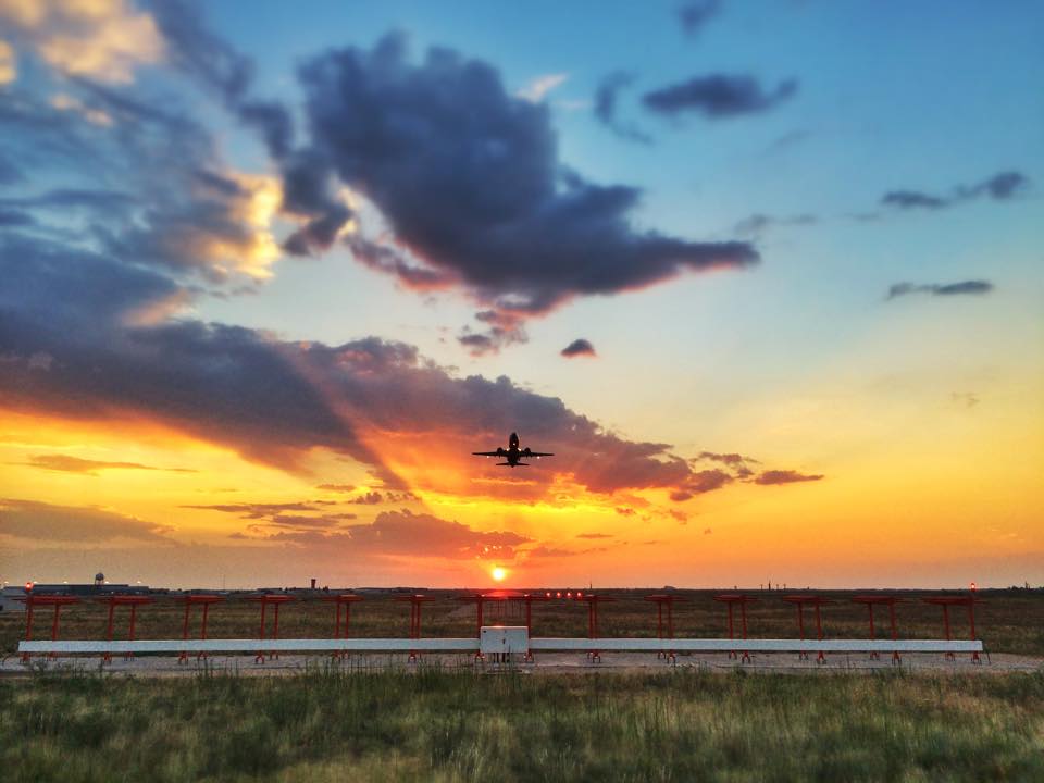
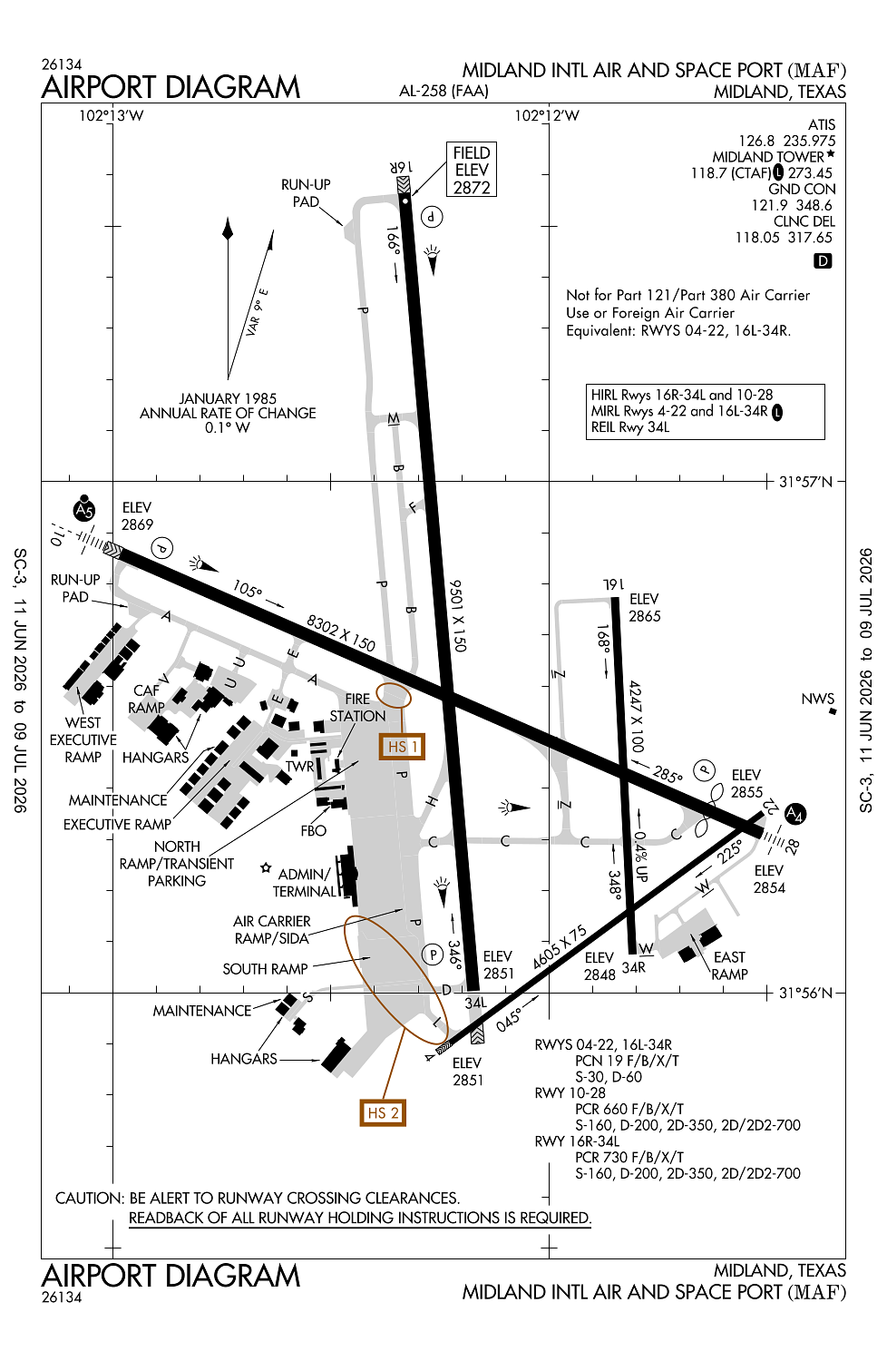
Midland, TX
Elevation:
2,872ft
Sectional:
San Antonio
Activation date:
Sep 1937
Fuel:
100LL, A, A1 (prices)
Runway 16R/34L:
9,501ft
Runway 10/28:
8,302ft
Runway 04/22:
4,605ft
Runway 16L/34R:
4,247ft
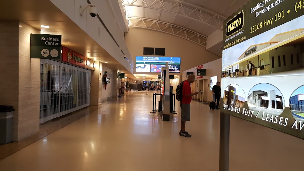
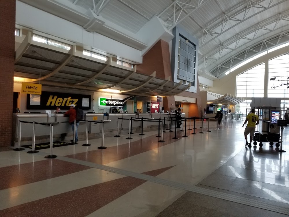
Access: Open to the public
Current Weather — VFR
-
Weather data is strictly informational and not for flight planning purposes.
-
METAR2026-07-15 21:53:00 CDT
Ceiling: Sky clear Wind: 120° @ 12kt Temperature: 75°F Dewpoint: 66°F Weather: N/A Visbility: 10SM Raw:METAR KMAF 160253Z 12012KT 10SM CLR 24/19 A3005 RMK AO2 SLP133 T02390189 53009 -
TAF2026-07-15 21:00:00 CDT – 2026-07-16 04:00:00 CDT
Ceiling: 17,000ft Wind: 140° @ 8kt Weather: N/A Visbility: 6SM Clouds: Few @ 4,500ft, Overcast @ 17,000ft Raw:TAF KMAF 160207Z 1602/1624 14008KT P6SM FEW045 OVC170 FM160900 14009KT P6SM OVC020 TEMPO 1615/1619 VRB15G25KT 6SM -TSRA OVC019CB FM162000 14013KT P6SM SCT045 OVC070 -
TAF2026-07-16 04:00:00 CDT – 2026-07-16 15:00:00 CDT
Ceiling: 2,000ft Wind: 140° @ 9kt Weather: N/A Visbility: 6SM Clouds: Overcast @ 2,000ft Raw:TAF KMAF 160207Z 1602/1624 14008KT P6SM FEW045 OVC170 FM160900 14009KT P6SM OVC020 TEMPO 1615/1619 VRB15G25KT 6SM -TSRA OVC019CB FM162000 14013KT P6SM SCT045 OVC070 -
TAF2026-07-16 10:00:00 CDT – 2026-07-16 14:00:00 CDT
Ceiling: 1,900ft Wind: Variable, gusts 25kt Weather: Light thunderstorm rain Visbility: 6SM Clouds: Overcast @ 1,900ft Raw:TAF KMAF 160207Z 1602/1624 14008KT P6SM FEW045 OVC170 FM160900 14009KT P6SM OVC020 TEMPO 1615/1619 VRB15G25KT 6SM -TSRA OVC019CB FM162000 14013KT P6SM SCT045 OVC070 -
TAF2026-07-16 15:00:00 CDT – 2026-07-16 19:00:00 CDT
Ceiling: 7,000ft Wind: 140° @ 13kt Weather: N/A Visbility: 6SM Clouds: Scattered @ 4,500ft, Overcast @ 7,000ft Raw:TAF KMAF 160207Z 1602/1624 14008KT P6SM FEW045 OVC170 FM160900 14009KT P6SM OVC020 TEMPO 1615/1619 VRB15G25KT 6SM -TSRA OVC019CB FM162000 14013KT P6SM SCT045 OVC070
Click/tap to add an annotation marker to the map
No webcams added yet.
Remarks
- This airport has been surveyed by the national geodetic survey.
- For arff svc btn 0000-0600 dly ctc fss at 800-992-7433.
- Rwys 04/22 & 16l/34r clsd to acft over 60000 lbs.
- Twys b & f north rwy 10/28 clsd to acft over 60000 lbs.
- Bird activity on & invof arpt.
Comments