Pirep is a free, collaborative database of all public and private airports. All pilots are welcome to contribute their local knowledge to any airport, no registration required.

Private
Undocumented
Edit Tags
No upcoming events. Is anything happening here soon?
Airport Statistics
- Landing & tie-down fees
- Crew car availability
- Airport photos
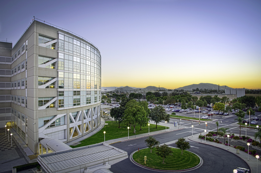
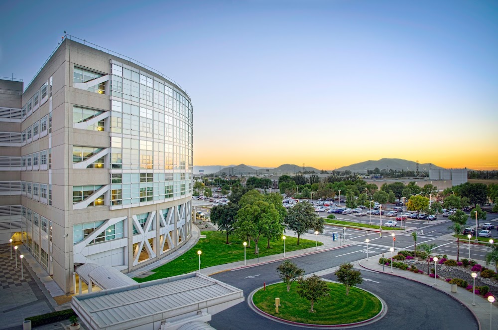
Location:
Colton, CA
Elevation:
1,076ft
Sectional:
Los Angeles
Activation date:
Sep 1999
Fuel:
None
Runway H2:
104ft
Runway H1:
70ft
Access: Private to everyone
Is this airport privately owned but open to the public with or without restrictions? Or perhaps the owner is simply happy for pilots to stop by with prior permission?
Click/tap to add an annotation marker to the map
No webcams added yet.
Remarks
- Provided vfr, private use, recommend heliport lighting if operations are conducted between ss-sr.
- Medical use.
- Ry h1 65 ft plines 275 ft ne of pad; 84 ft trees 450 ft ne of pad, and bldgs south, sw, and nw of pad.
- Ry h2 59 ft pline 38 ft ne of pad, 62 ft pline 220 ft se of pad, and bldgs south, sw and west of pad.
- Corners of some bldgs invof of helipads have obstruction lgts.
- Final apch & tkof area 128 ft in diameter.
- For cd ctc los angeles artcc at 661-575-2079.
- For perimeter lgts at helipads h1 and h2, call (909) 580-0089.
Comments