Pirep is a free, collaborative database of all public and private airports. All pilots are welcome to contribute their local knowledge to any airport, no registration required.


Private
Undocumented
Edit Tags
No upcoming events. Is anything happening here soon?
Airport Statistics
- Transient parking location
- Fuel pump location
- General description
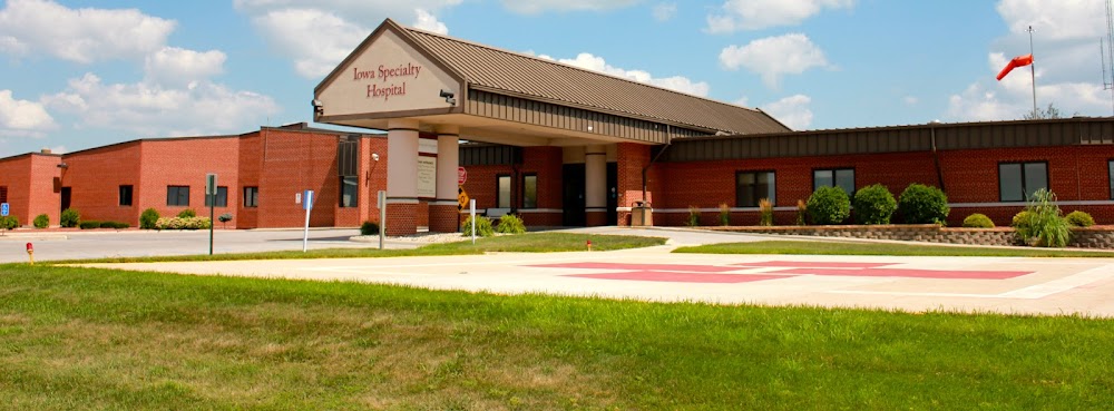
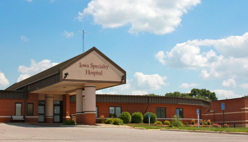
Location:
Clarion, IA
Elevation:
1,162ft
Sectional:
Omaha
Activation date:
Mar 1993
Fuel:
None
Runway H1:
50ft
Access: Private to everyone
Is this airport privately owned but open to the public with or without restrictions? Or perhaps the owner is simply happy for pilots to stop by with prior permission?
Click/tap to add an annotation marker to the map
No webcams added yet.
Remarks
- Prvdd apch/dep for a 8:1 glide slope & a 2:1 transitional slope & all users shall be briefed on proximity of clarion muni arpt & users shall avoid interfering with clarion arpt tfc.
- Medical use.
- Owner desires heliport not be charted.
- For cd ctc minneapolis artcc at 651-463-5588.
- For perimeter lgts call 515-532-2811.
- Facilities leader; mark jenison grounds leader
- 40 ft plines 400 ft w; 40 ft plines 200 ft s; 20 ft bldg 250 ft n; & 15 ft bldg 30 ft e.
Comments