Pirep is a free, collaborative database of all public and private airports. All pilots are welcome to contribute their local knowledge to any airport, no registration required.
Public
Undocumented
Edit Tags
No upcoming events. Is anything happening here soon?
Airport Statistics
- WiFi availability
- Tags
- Airport map annotations
Location:
Traverse City, MI
Elevation:
820ft
Sectional:
Green Bay
Activation date:
Aug 1998
Fuel:
None
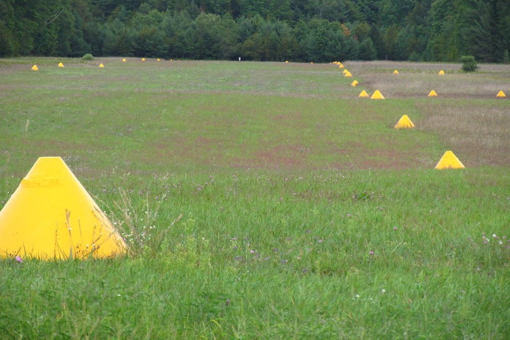
Runway 09/27:
2,537ft
Access: Open to the public
This airport is privately owned but open to the public.
Click/tap to add an annotation marker to the map
No webcams added yet.
Remarks
- See airspace case 95-agl-642-nra. also refer to 93-agl-733-nra and 91-agl-628-nra.
- For cd ctc minneapolis artcc at 651-463-5588.
- East 600 ft of rwy 09/27 srndd by 75 ft trees, 125 ft l/r of cntrln.
- Arpt clsd oct-may & when snow covd exc for ski equipped acft.
- 8 ft fence, 110 ft south of rwy 09/27 cntrln, 1000 ft len.
- Rwy 27 dthr 1337 ft, extds byd rwy midpt.
- Ropes not prvdd.
- Shanecgray@yahoo.com.
Comments