Pirep is a free, collaborative database of all public and private airports. All pilots are welcome to contribute their local knowledge to any airport, no registration required.
Public
Undocumented
Edit Tags
No upcoming events. Is anything happening here soon?
Airport Statistics
- Airport photos
- Airport map annotations
- Transient parking location
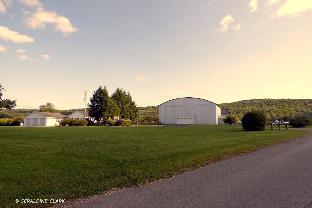
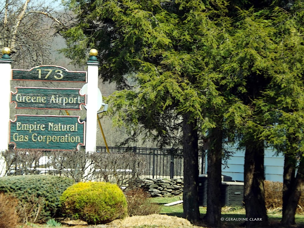
Location:
Greene, NY
Elevation:
935ft
Sectional:
New York
Activation date:
Jul 1947
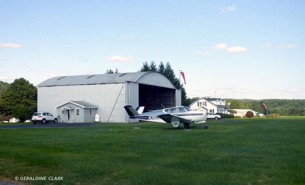
Fuel:
None
Runway 07/25:
2,665ft
Access: Open to the public
This airport is privately owned but open to the public.
Click/tap to add an annotation marker to the map
No webcams added yet.
Remarks
- Existed prior to 1959.
- During winter check fss for notams.
- Town rd crosses +308 ft lt. & 187 ft rt., in fm ry 07 beg.
- Deer and geese on & invof arpt.
- Ry 25 has numerous +30-90 ft trees, both sides at thld.
- For cd ctc new york artcc at 631-468-1425.
- Actvt lirl ry 07/25 - 4 clicks - ctaf.
- For services call in advance - 607-656-8565.
Comments